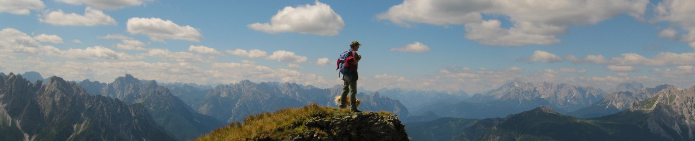
The Cresta della Pitturina Pt.2
Let’s go back to the Pitturina Crest to complete the series of shots already published in this article. This time we take the Ferrata D’Ambros from West to East. We leave the car at Pian di Tabeli and soon we go up to Pian Formaggio Alpine Hut. We continue on the path marked CAI-145 that goes up to Monte Cavallino.
After a little past the pasture above the Malga, signs show us the way, which turns eastwards, climbing up to the locality of Vanbariuto. Initially poorly defined, due to the abundant grass, as you go up the track becomes more marked. Once in Vanbariuto the ridge rises above us,
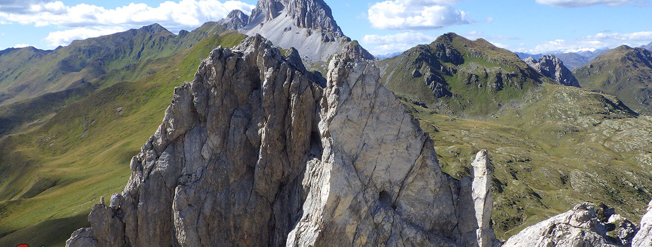
here we decide to cross it from the left to the right, and then, we turn west, climbing steeply through meadows, up to the state border. Small stop on the Pitturina for the photo with the drone to the top and the military remains, then we begin the railway section that will entertain us for almost two hours of crossing.
Once in Vallona we descend under the ridge in the direction of Piva Bivouac. Arrived almost above the metal structure, we climb back to the ridge and descend along Il Costone delle Mandrette along the sometimes difficult path with CAI-160 trail marker, which takes us back to Vanbariuto.