
Col Quaterna’
The Geographical Features
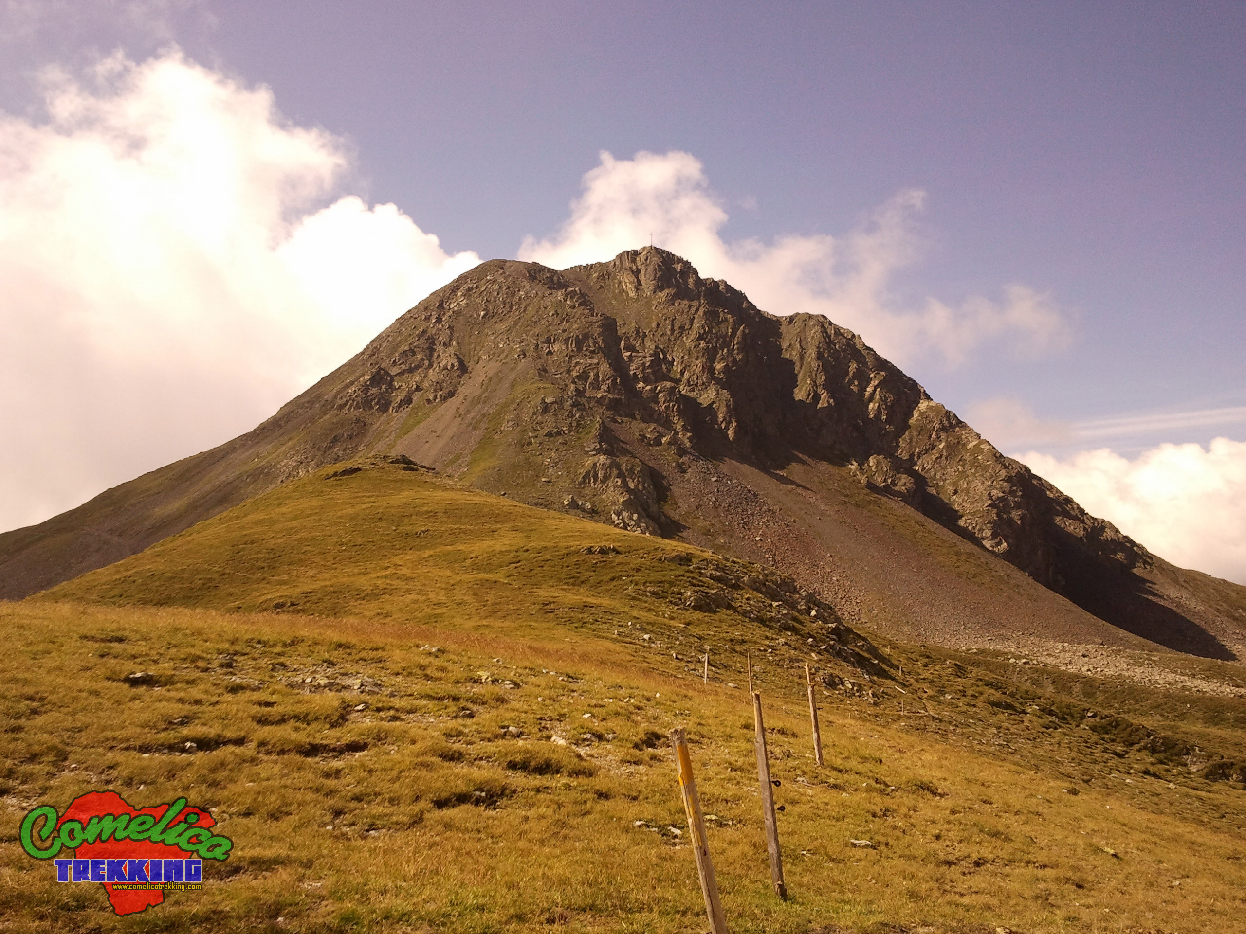
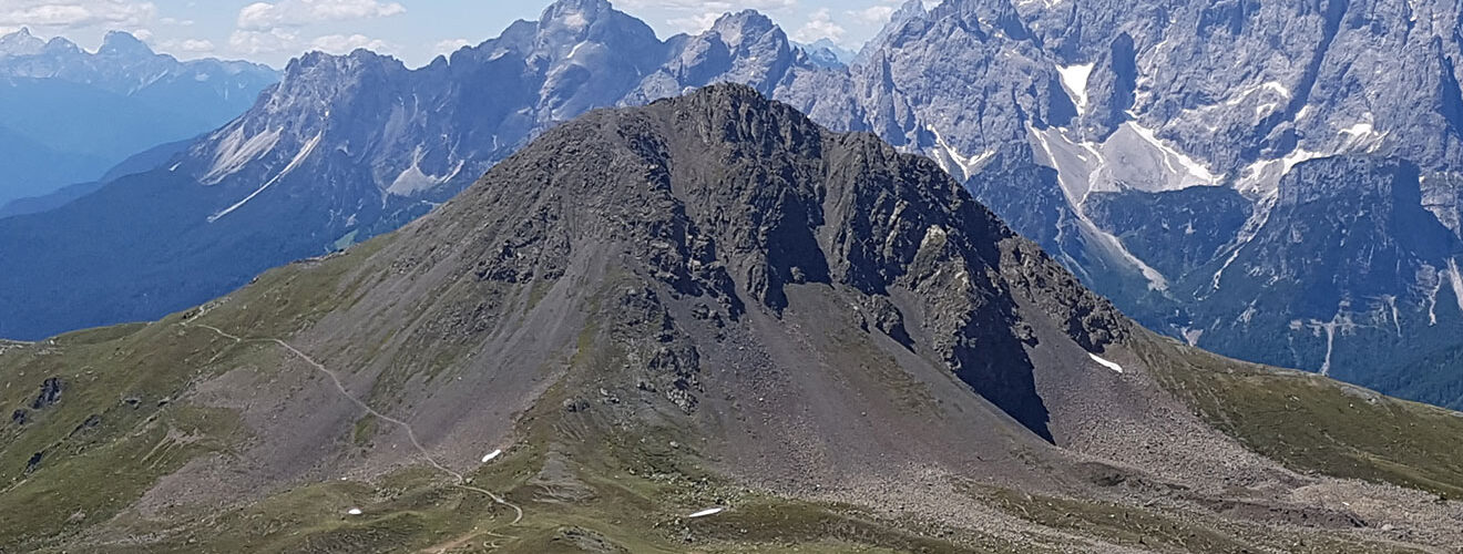
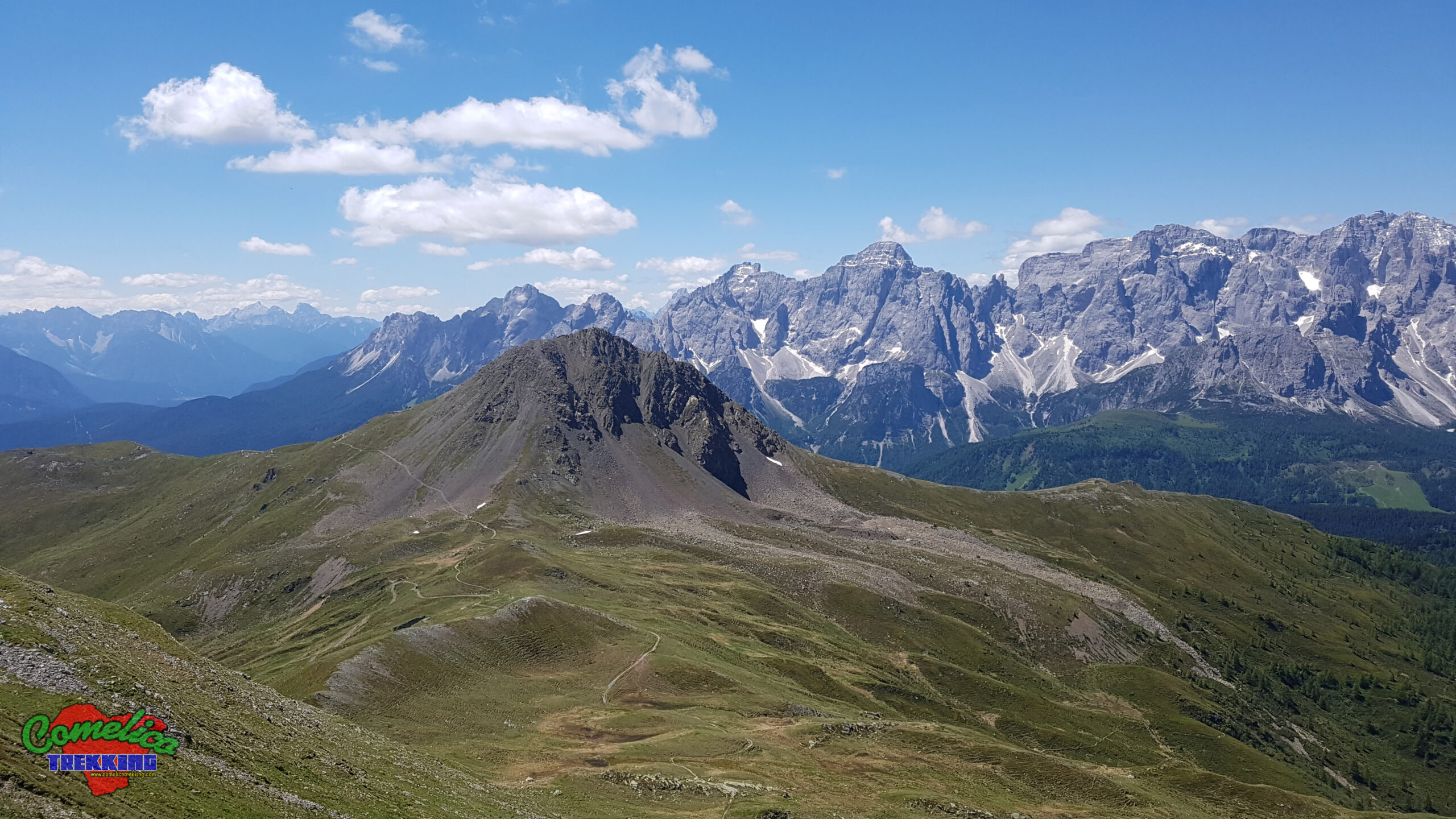
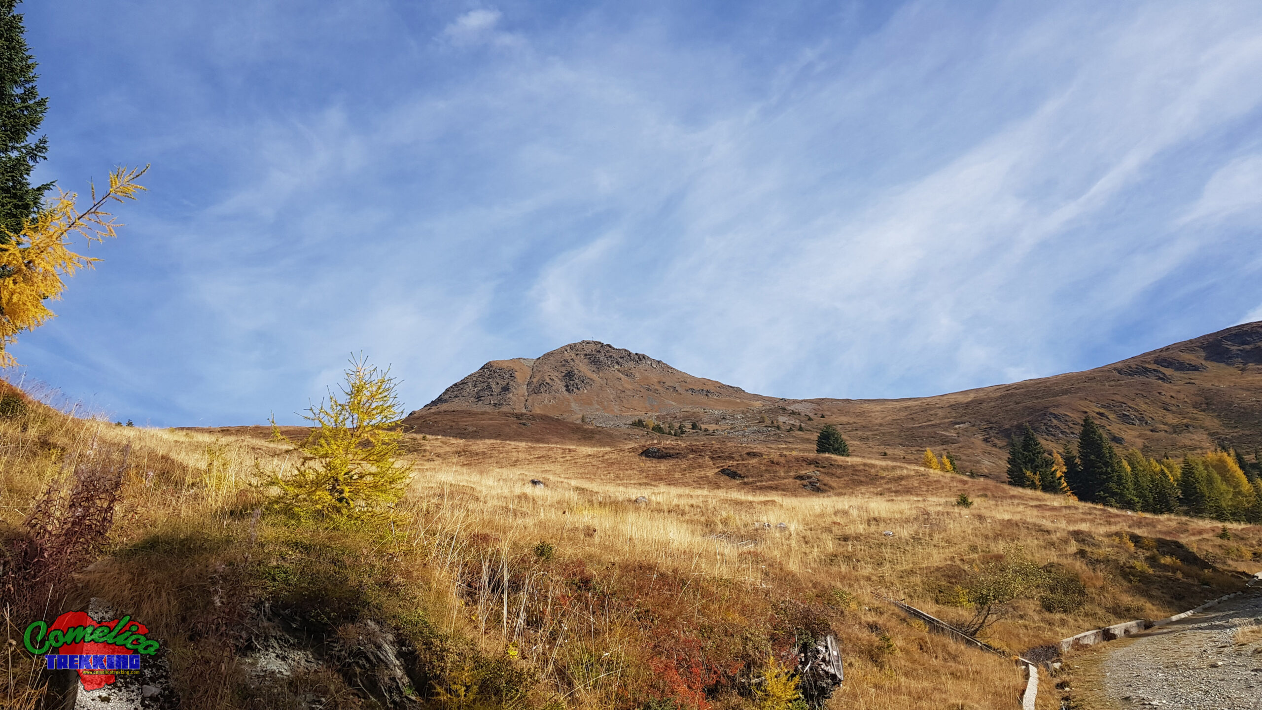
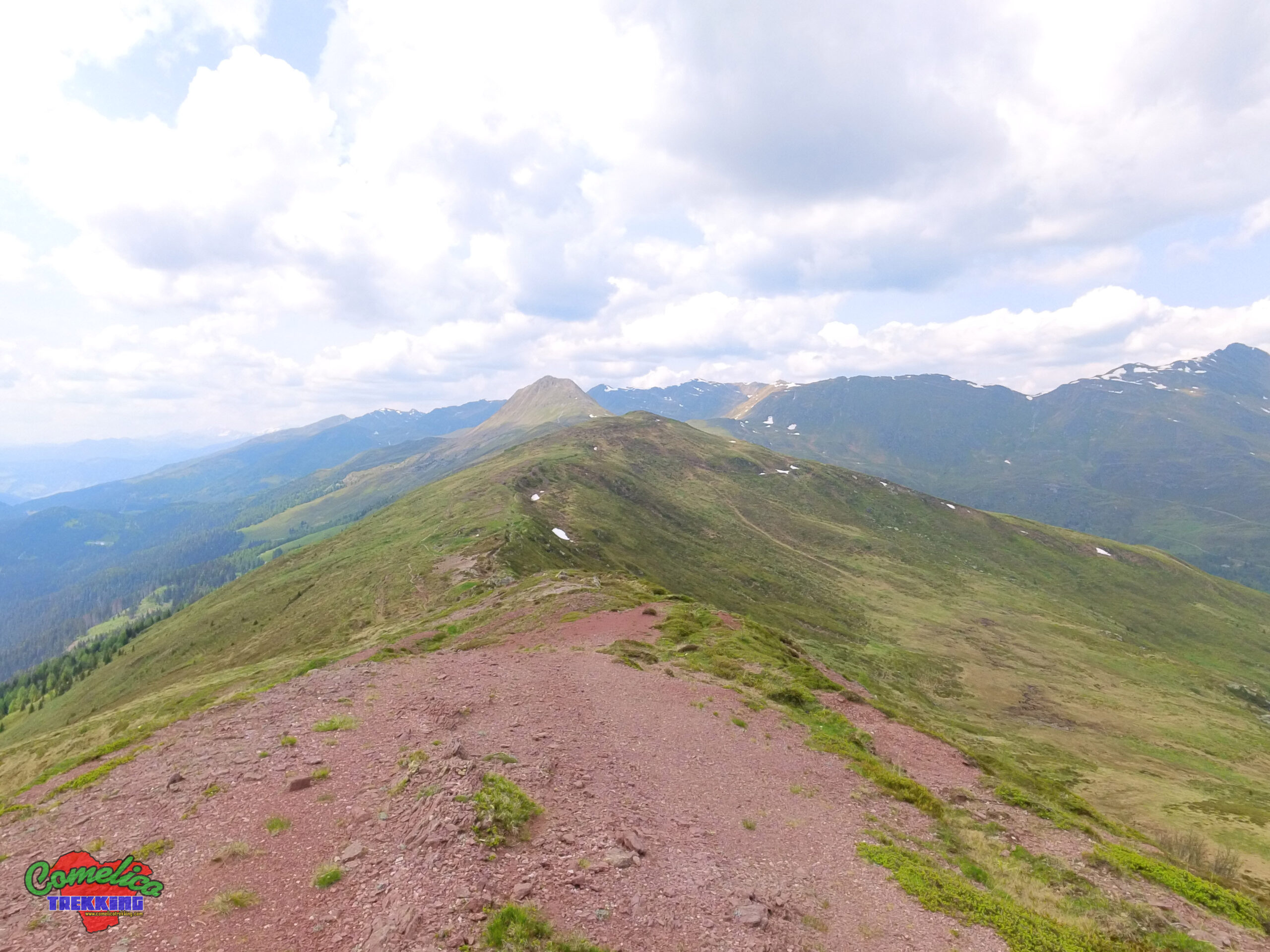
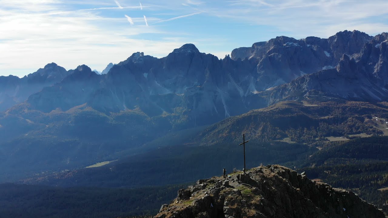
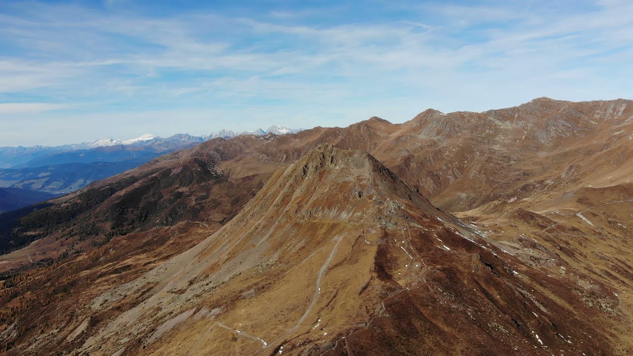
.the PeaksThe Col Quaterna’ has a characteristic pyramidal shape, is located in the North-West corner of the Comelian territory and reaches a height of 2503 m a.s.l. It has a dark color given by the volcanic rock of which it is completely composed. It rises as the highest peak of theMonte Spinablock which makes up together with theCol de la Crodataand theCol Rosson. The East side ends at thePasso Silvella, bordering theFrugnoniwhile towards the West it thins out up to thePasso Montecroce Comelico.
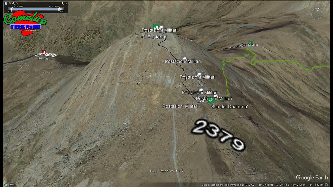
The peak can be reached in a short time via a steep rocky path fromSella del Quaterna’. Thanks to its solitary and strategic position, during the First World War it was used as a lookout outpost and emplacement for snipers guarding the passes that surround it.
.the ValleysThe East side of Col Quaterna’ dominates the pastures of theSilvellaand relativeMalga, on the West side it overlooks the woods of theVal di S.Valentino. The North side instead thins out on theVal Loreraand the state border.

.the RiversThe Digon Torrent originates at the foot of Col Quaterna’ along its east side, descending first towards the Silvella and then the relatedVal Digon. The Padola Torrent also originates on its northern slopes and then deviates towards the South. The two streams flow on opposite sides of the block until they meet in the locality of Gera and descend together towards the Piave River in Santo Stefano, drawing the characteristic shape of the block of Mount Spina, wedged between the state border and the Central Group.
Political Borders
Col Quaterna’ rises in the municipality ofComelico Superiore. The North side overlooks the Austrian municipality of Obertilliach and the South side overlooks Italy. In times of war, Passo Montecroce Comelico was defended on one side by Col Quaterna’ and on the other by the military works ofCroda Sora i Colesei/Forcella Popera.
The Approach
.from Val DigonWe can approach the Hill by going up to the top ofVal Digonand arriving by car atMalga Silvella, from here we go along theSilvellavalley up to thePassof the same name on a slightly sloping mule track.
.from Passo MontecroceSurely the shortest route starts fromPasso Montecroce Comelico, we advance on the forest road that winds through the coniferous woods in an easterly direction, we pass theMalga Coltrondoand theRinfreddo Refugeto then begin the ascent of the Hill.
.from CasamazzagnoStarting from Casamazzagno, at the church of S. Leonardo is not really for everyone, a long way that runs through the entire block on forest roads going up towards the north. It is possible to reach theSella del Quaterna’passing through many roads that surround the Block ofSpina, from those that go back to its slopes on both sides, or, to cross it along its crest for a 360° panorama of the Comelico Superiore. Massive presence of military trenches and remains of buildings relating to the period of the First World War. This itinerary is preferable to be tackled by bicycle.
The Climb
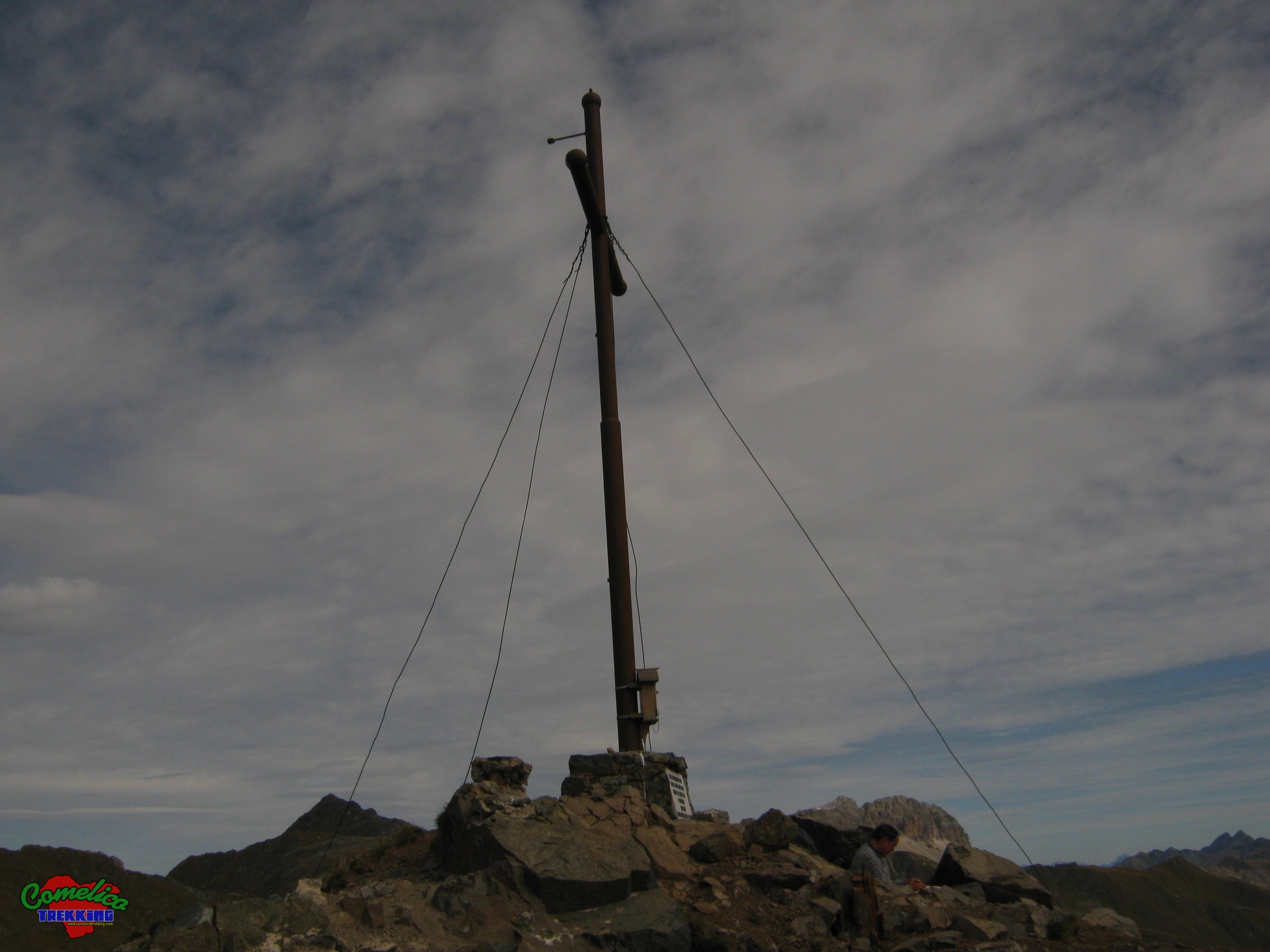
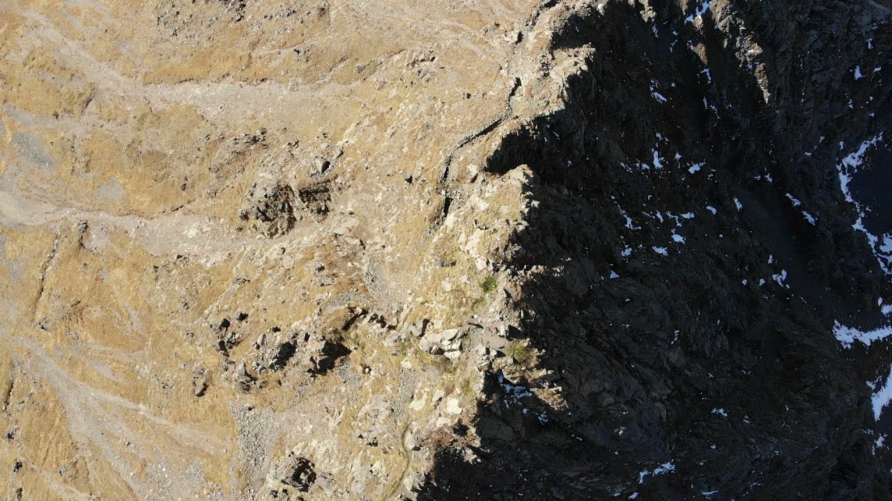
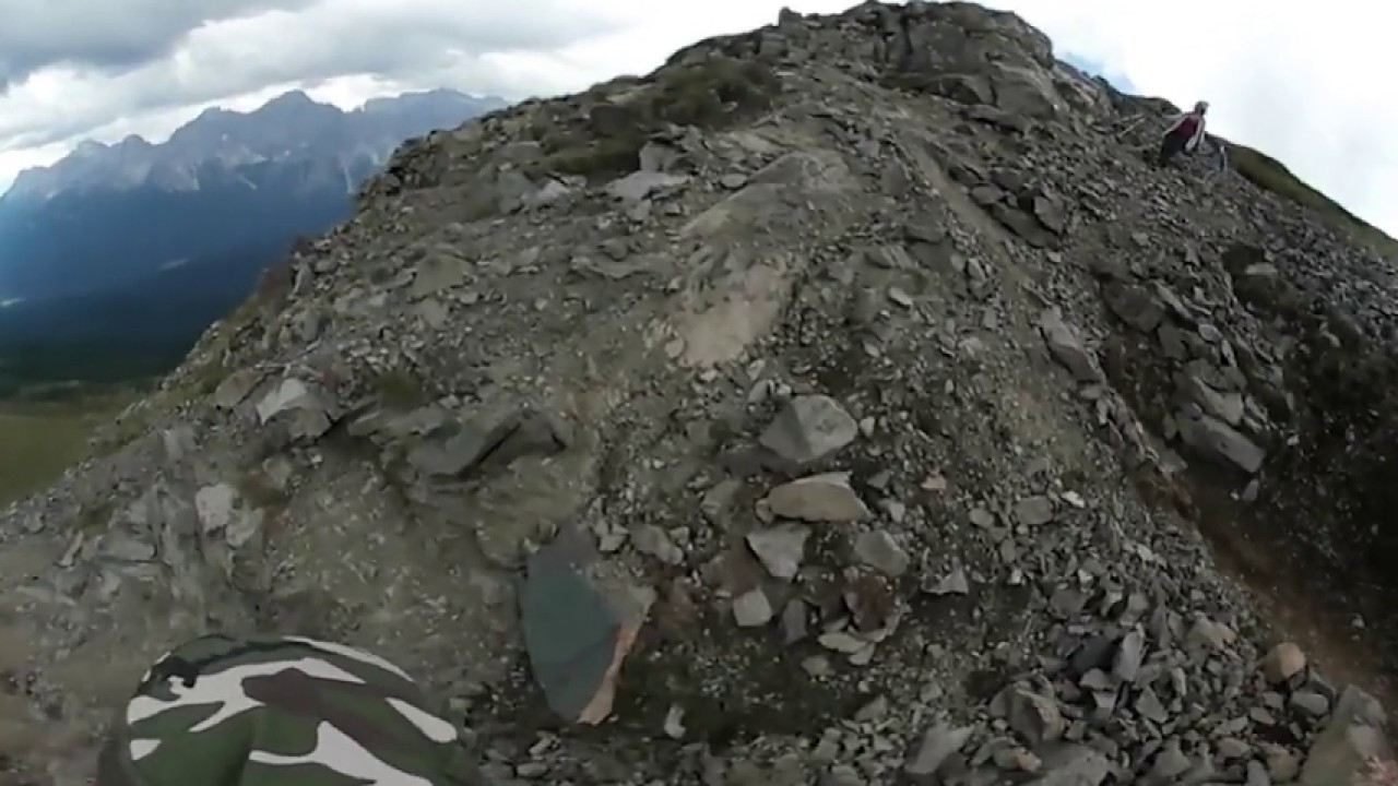
Arrived at the wide Quaterna’ Saddle, we leave the mule tracks that have accompanied us up to this point, to take a steep path which, in twenty minutes, takes us to thesharp peakof this mini volcano. Breathtaking views in all directions thanks to the large spaces that surround it. Along the climb you can visit the remains of military posts which are now in a poor state of conservation, but which remain as evidence of a massive fortification all around the hill.

- 1
- 2
- 3
- 4
- 5