Map of Military Works

Completed the first map using the Maps Marker Pro plugin. After due attempts to test the multiple options that the software offers, I created a feature-rich layout that fits perfectly with the spirit of ComelicoTrekking.
- There are 5 different levels of maps, for now, just enough time to try others and request the necessary api keys.
- A mini map to move quickly around the map, when using close-up views
- A List to activate marker categories
- A Home button to restore the camera
- One button to track real-time location on compatible devices
- A tool for measuring distances
- The ability to search and then filter markers
- The Classic Zoom and Full Screen Buttons
As the first map I chose the military works. The only map that for some obscure reason Google didn’t publish to me! A slightly more complex map than the others in which I divided Val Comelico into areas of different colors based on the mountain groups present;
- Red, The Brentoni Group
- Orange, The Terze Group
- Yellow, The Rinaldo Group
- Green, The Peralba Group
- Light Blue, The State Border Group
- Blue, The Spina Group
- Lilla, The Popera Group
- Brown, The Danta Plateau
- White, The Central Group
By clicking on the colored line, through a link again you will navigate along the page to the section with the corresponding spherical images.
The Map currently contains 225 Points of Interest Markers:

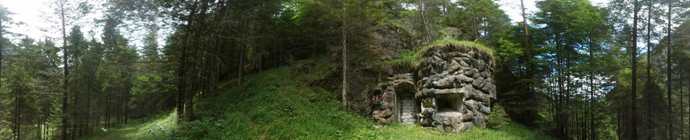
Cave Posts, Niches, even deep ones, carved into the rock where there may be firing slits.

Barracks, or buildings mostly assigned to the shelter of troops and officers

Tunnel, Long tunnels that wind through the ground can end in firing embrasures

Bunker, concrete works with armored doors and multiple artillery chambers, including heavy artillery. Some are equipped with an observatory.

Military Posts/ Barracks, remains of buildings and walls now hardly recognizable.

Trenches, long open-cast excavations surrounding the main military sites.
I have maintained a color code that has been present for years in the style of Comelico Trekking which means:

Only GPS coordinates are present

Beyond the GPS coordinates there are one or more flat photos

In addition to the GPS coordinates there are one or more panoramic photos but the flat photo is missing
The Place is complete with everything
Ultimately I can say that I am satisfied with the performance of this software, it manages to best represent my ideas in an orderly and concise way with an excellent interface. The flexibility it offers under the hood is remarkable!
You can see it by clicking on the followinglink
What can I say.. It is really true; not all evils come to harm do Google?.. goodbye ;P