
Monte Schiaron
Geographical Features
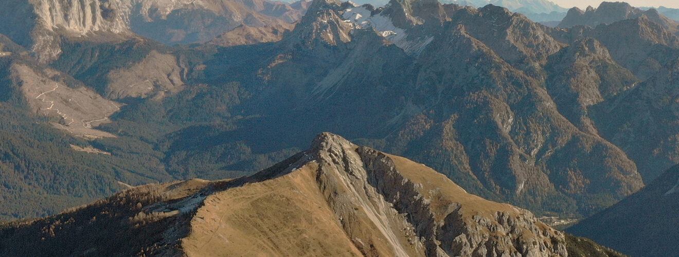
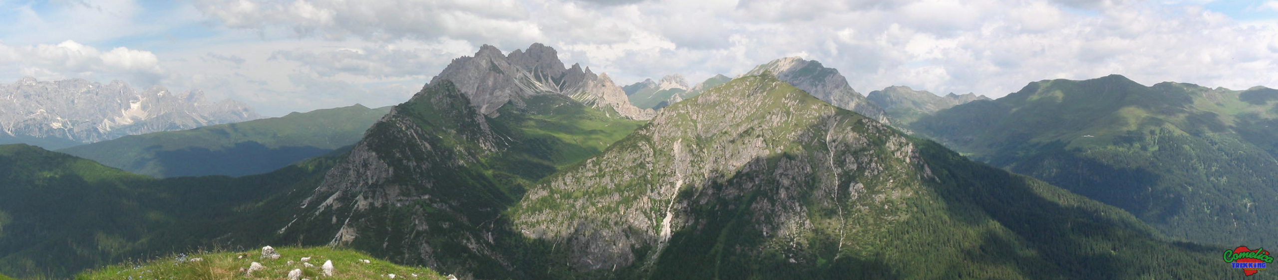
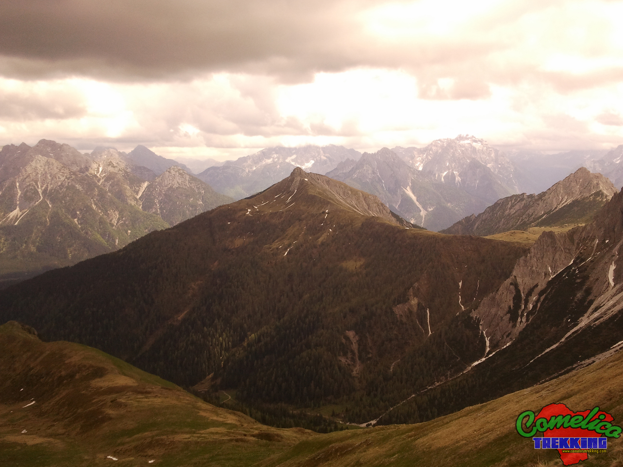
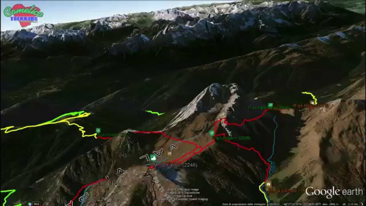
.the PeaksMonte Schiaron enjoys a central position within theComelicoterritory, but from the valleys to the west, beyondCrode dei Longerin, it is not entirely visible due to theLongerinthemselves, which largely cover the view. Instead it is clearly visible in the East because it faces directly on theVal Visdendewithout having any mountain in front. It can also be seen very well from across the border line and from the south by the Group of TheTerze. Monte Schiaron belongs to the Central Mountain Group together with the Crode dei Longerin,Monte San Daniele, Monte Zovo andMonte Curie’. The rocky peak that rises on a first grassy block reaches 2246 m a.s.l.
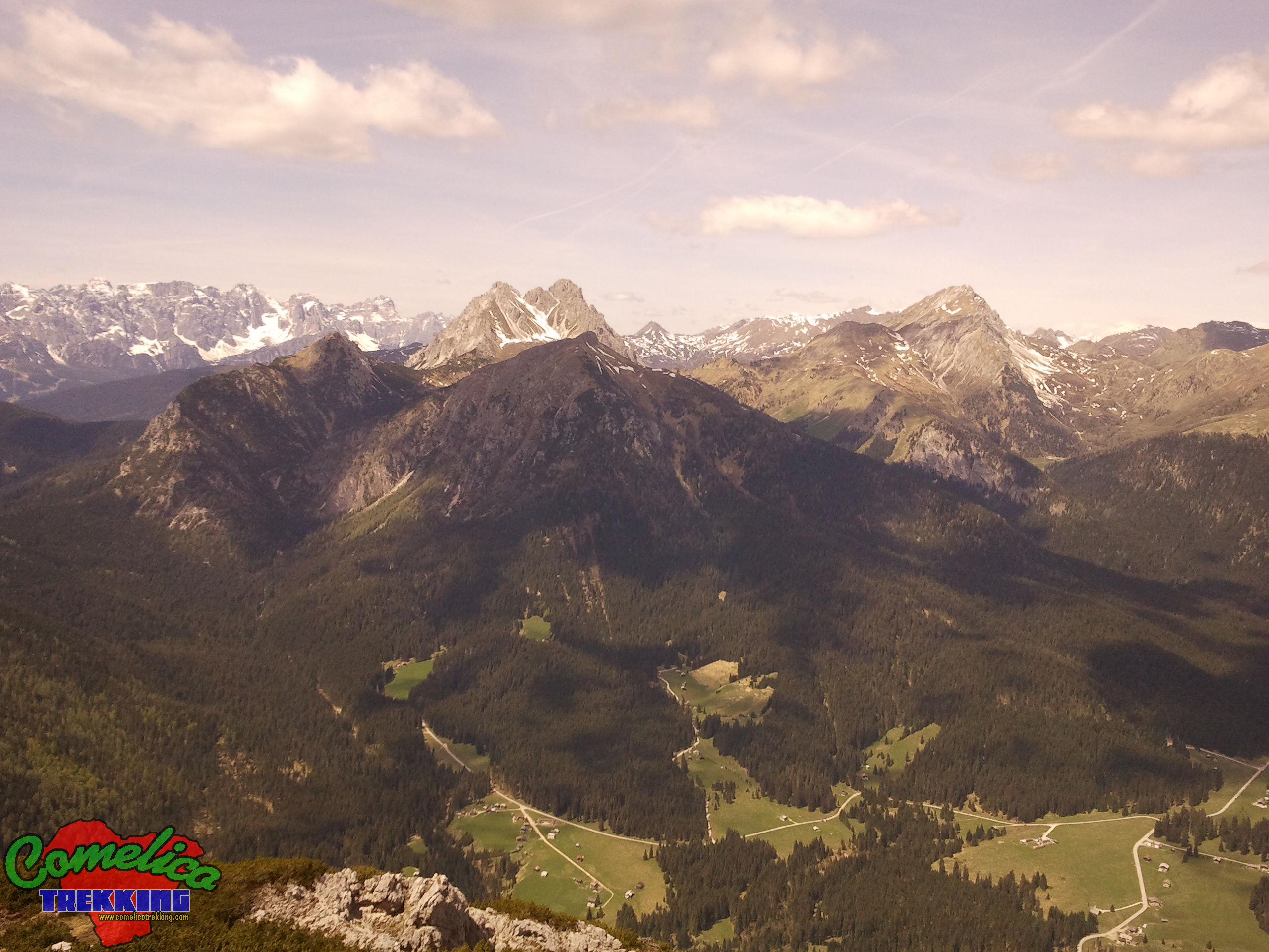
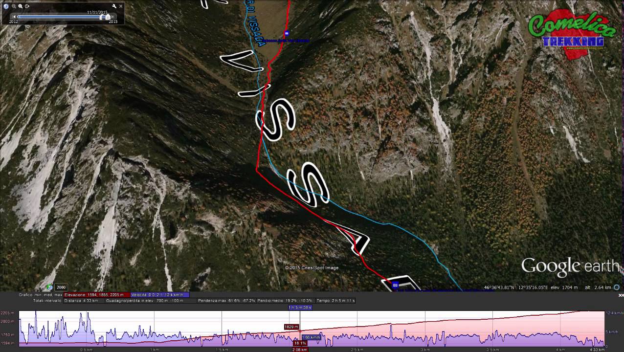
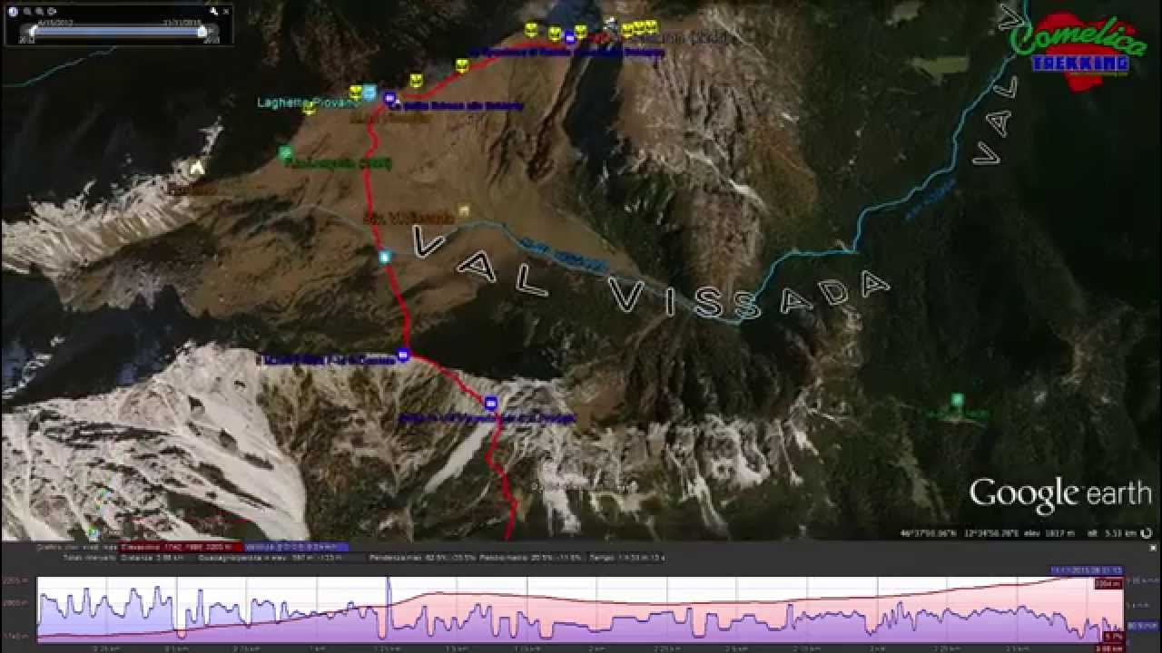
.the ValleysThe M. Schiaron creates theVal di Londoin the North-East, together with theM.Palombino. To the east it overlooks the Visdende valley undisturbed and to the west it meetsM. San Danielein a steep gorge forming theVal Vissada, a small pearl of the Comelico that is still used as a pasture for heifers in summer. To the south it lowers into woods and meets the appendages ofM. Curie’.
.the RiversThe presence of water is generally good and is mostly on the West and South sides, that is, those which face theVal Vissada, crossed by the homonymous Rio of Vissada. On the north side, towardsVal di Londo, the presence of water is guaranteed by several sources which, as you descend towardsVal Visdende, form the Londo Torrent. In the eastern part the Giao of Codippo descends towards the Londo torrent and further south the Rio Dolmi flows into the Cordevole torrent, thus dividingPra MarinofromPra della Frattain the central area of the Val Visdende.
Political boundaries
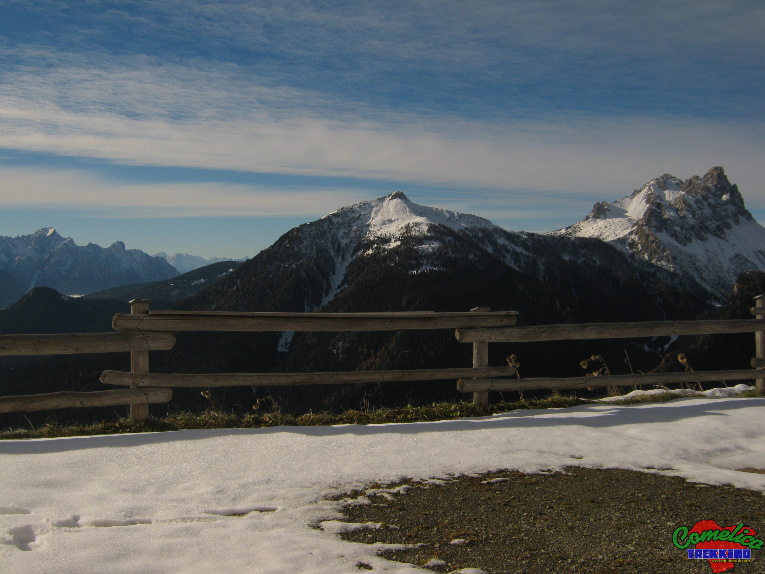
All Monte Schiaron is located entirely in the Municipality ofSan Pietro di Cadore. The appendages that descend into Val Visdende on its eastward side border the Municipality ofSanto Stefano di Cadore.
The Approach
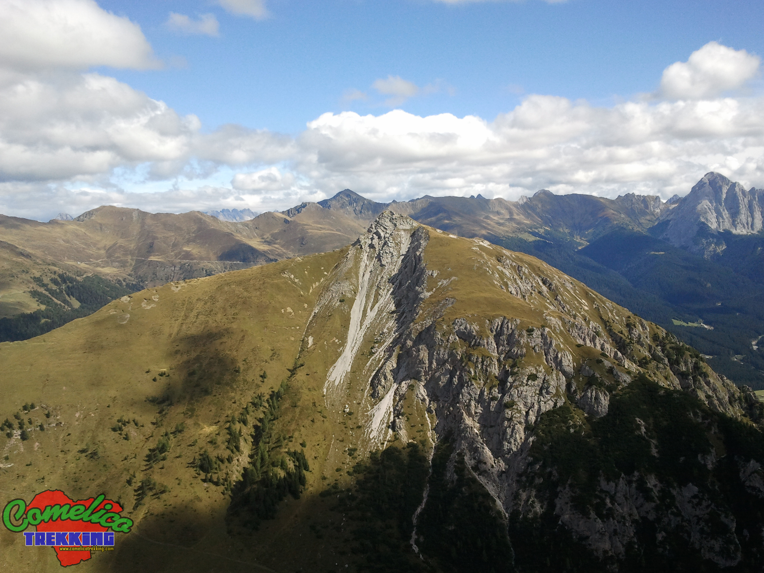
.from F.la ZovoThe mountain can be approached comfortably by car. From the south side you reachF.la Zovowhere there is a small parking lot and arefugecurrently (2025) open.
This fork can be reached in three different ways, however, starting from the built-up area of S. Stefano di Cadore. You can go up by car in about 15 minutes, covering 9.7 km, passing first through the town of San Pietro di Cadore, then crossing its hamlet of Valle and then going up along the east coast ofCol di Tambarand crossing a forest of Firs along the municipal road called “Terrible”, until reaching the altitude of 1605 m a.s.l. of F.la Zovo. You can also go up to the village of Costalta in 16 min, covering 11 km, always along the asphalted municipal road you leave the hamlet of San Pietro di Cadore and you reach, along a narrow flat road, the locality of La Siega and then start going up a steep road until you reach Pramaio and immediately after Forcella Zovo. Alternatively, you can go up through theVal Visdendealong 17 km in about 30 minutes. From Santo Stefano di Cadore proceed in the direction of Sappada, for State 355 until Km 43.5, then turn left going up a comfortable asphalted road and you will reach Val Visdende (1250 m a.s.l.) in the locality ofCima Canale. We continue straight on a plateau up to the junction forPra Marino, there we turn left still going straight to the junction forPra della Fratta, here we turn left again and we continue up toPra Cividellawhere we begin to climb along the woods and so you reach F.la Zovo.
.from S.la dei PradettiFrom South-West the Schiaron can be tackled starting from theS.la dei Pradetti. This route first involves the crossing of Monte Zovo. You can go up from the village of Costalissoio and, after leaving the car in La Baita, continue to climb the paved and steep forest road along the Bosco of Giavi until you reach (1610 m a.s.l.) and cross the Coston diSasso Grigno(1834 m a.s.l.); from here you walk in a false plane approachingM. Zovountil you reach the crossroads for Costa villlage (1896 m a.s.l.) where you descend in a north-easterly direction up to the altitude of 1757 m a.s.l.. of Sella dei Pradetti, travel time 10 min by car and 1h30min on foot (6.2Km and 7.7Km). At Sella dei Pradetti you can also go up from the village of S.Nicolo’ of Comelico. By car you reach Costa, fraz. of S.Nicolo’, and go up through fir woods along an asphalted road until you reach the locality Fronta’ (1573 m a.s.l.), travel time 16min-8.8 Km. Leaving the car go up through meadows along a dirt road up to the junction for Costalissoio, under the summit of Monte Zovo (1896 m a.s.l.), from here go down to the Sella dei Pradetti (1757 m a.s.l.), distance 1h-4.3Km.
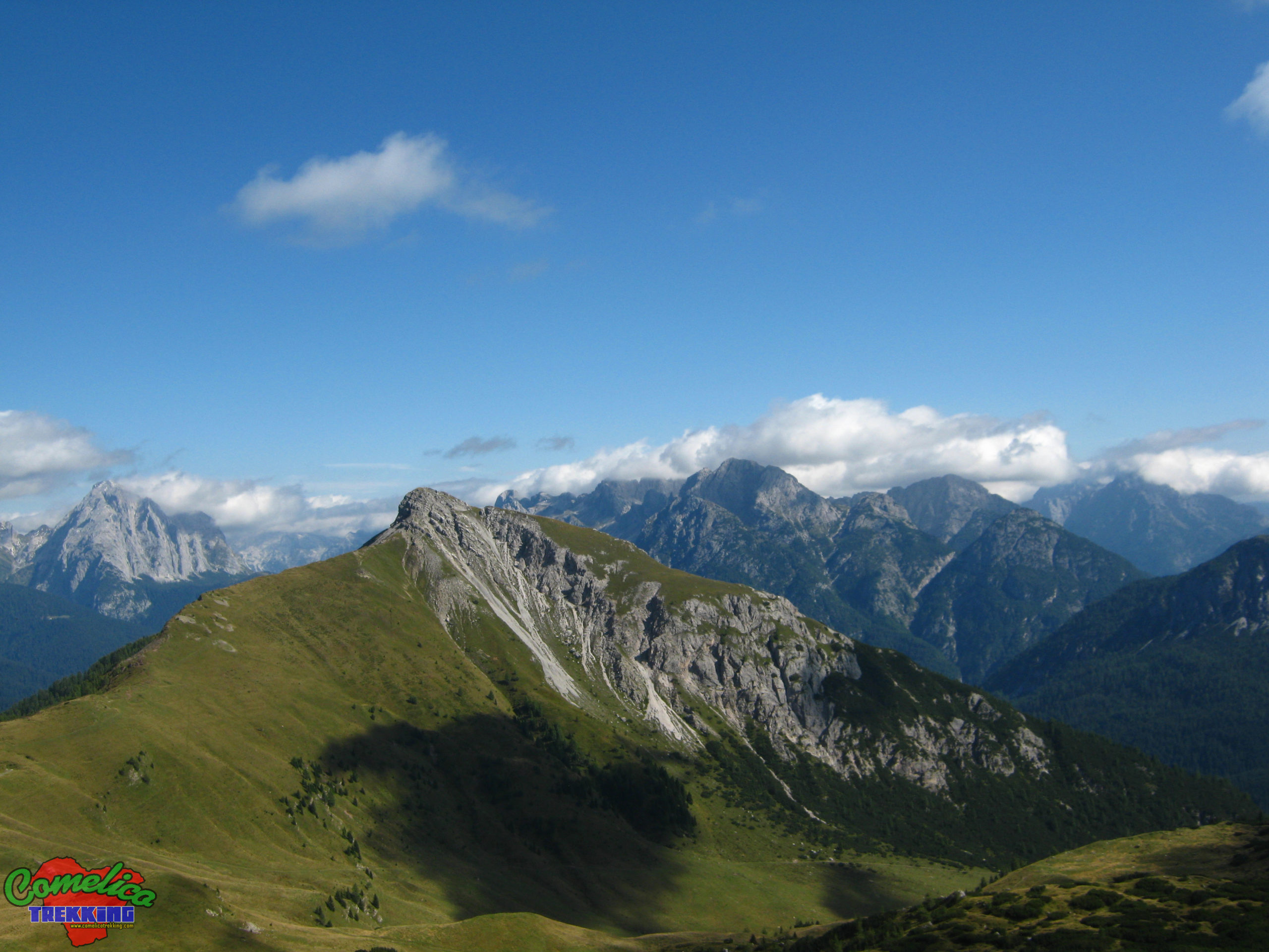
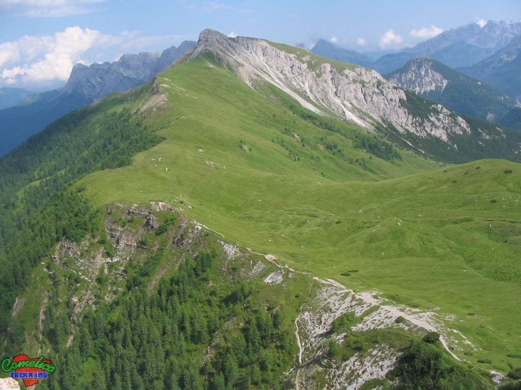
.from P.so PalombinoThe mountain can also be approached from the North-West starting fromMalga Melin(1663 m a.s.l.). From Santo Stefano go up along State Road 52, at Sega Digon, take theVal DigonMunicipal Road on the right. Once on Cappella Tamai, continue straight up to the crossroads for theVal di Melin(11Km 17min) where you can leave your car (1458 m a.s.l.). Continue in the woods to the right in an easterly direction up to Malga Melin on a paved forest road (2km 24min). Alternatively, you can leave your car at Cappella Tamai (7.5 Km 10min) and continue by turning right, once you reach a crossroads, continue straight towards Giao Storto going up the woods along a gravel forest road with the CAI-142 sign to the hairpin bend to the Costa di Aiaredo (1602 m a.s.l.) (3.5 Km 1h10min).
.from Val VisdendeAlternatively fromVal Visdendeyou can reach the Ciadon junction by car by continuing straight toPra Marinoand, after passingLa Fitta, enter the woods and proceed north until reaching the Ciadon junction (1400 m a.s.l.), thus having covered 15 km in 24min approx. Then you go up toM.ga Londo(1643 m a.s.l.) for Trail CAI-167 covering almost 2 Km.
You can also attack the top along an impervious very steep road that climbs along the East gully. Just beyond the locality La Fitta gravel forest road climbs to the west (1310 m a.s.l.). At the end of the Firs forest and at the beginning of the gully the dirt road stops and we have to face the gully without a path at 1600 m a.s.l.
The Climb
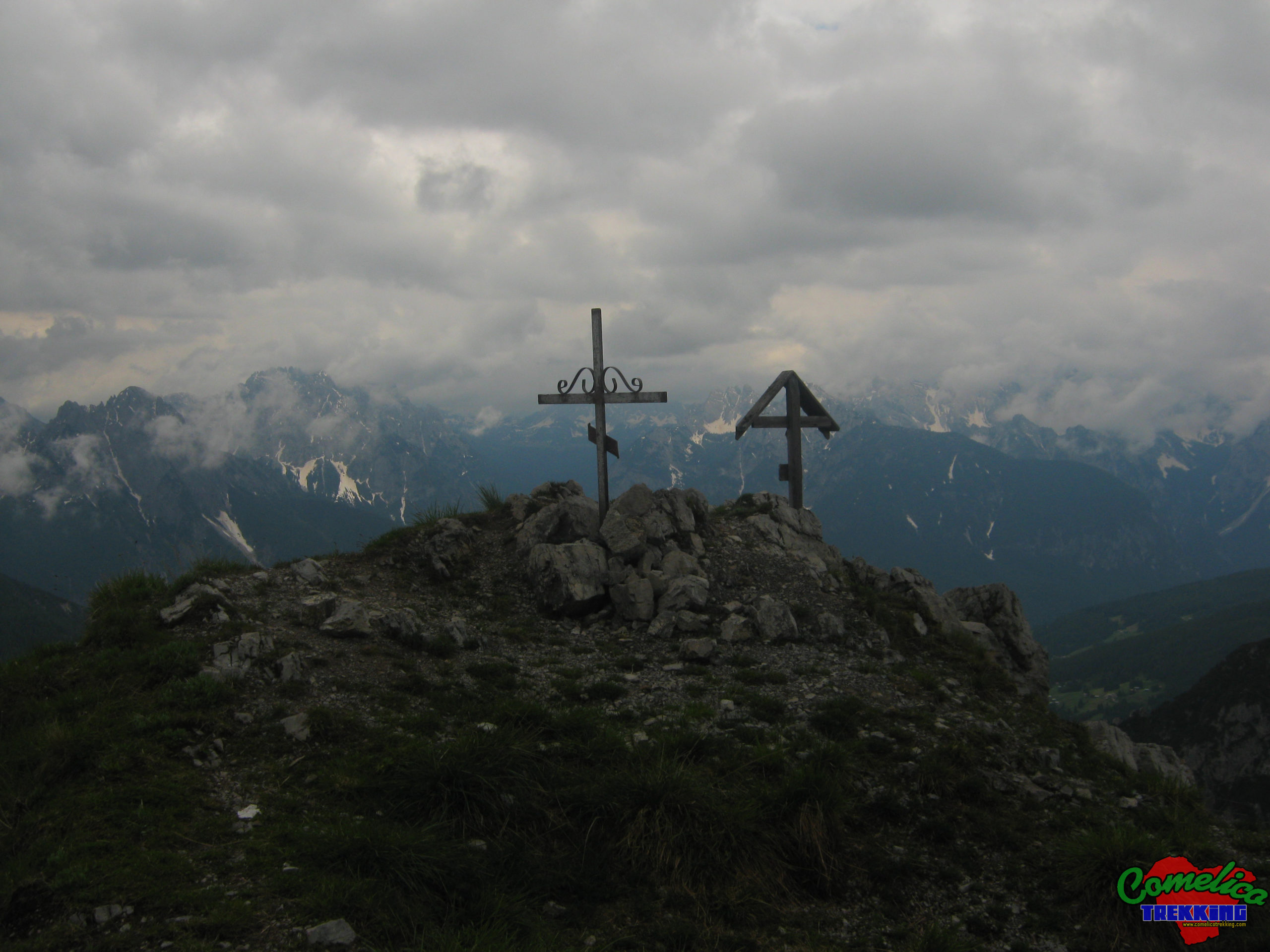
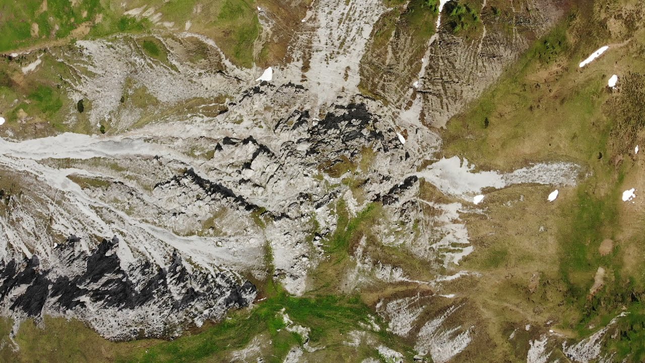
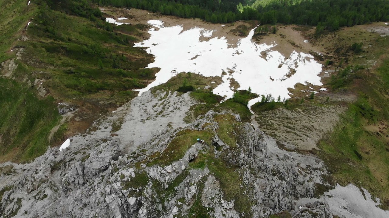
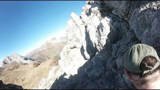
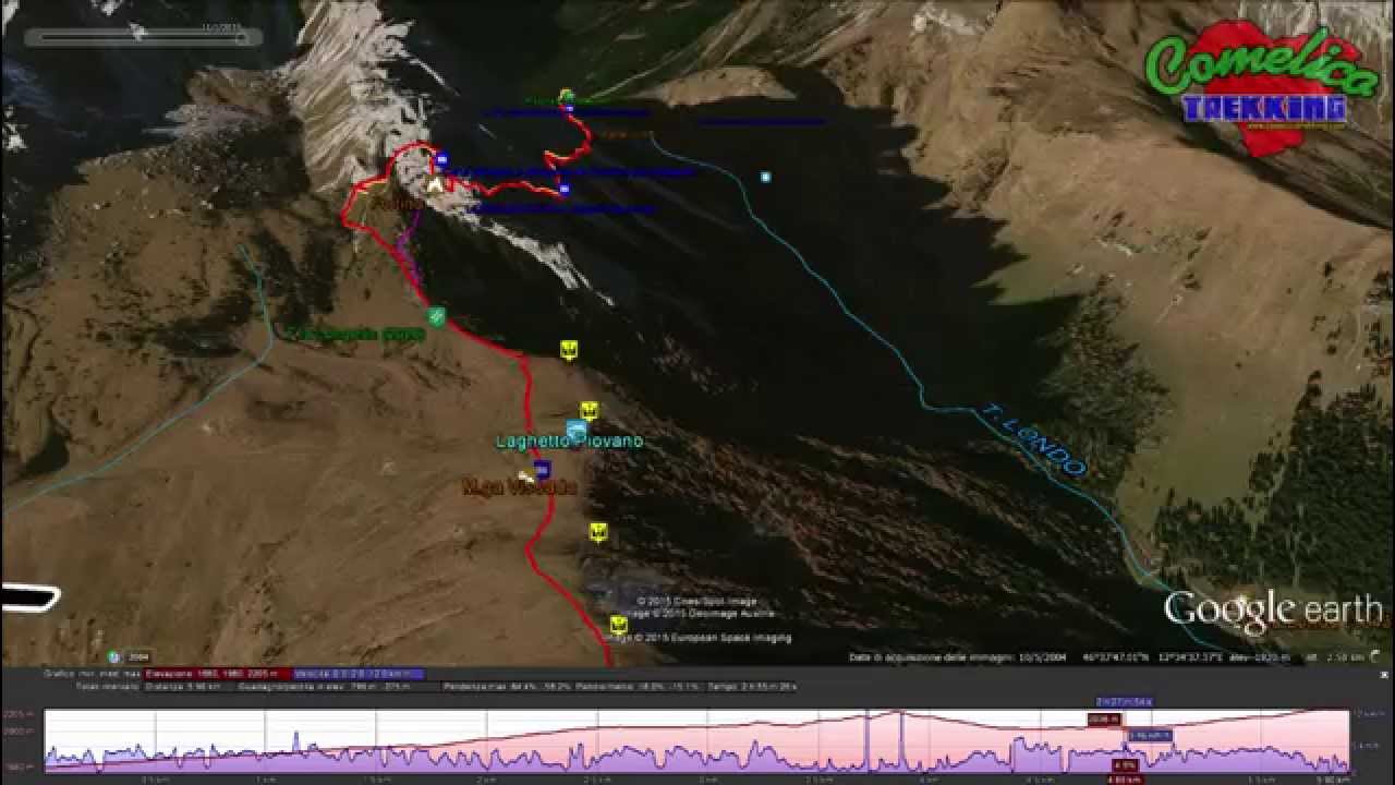
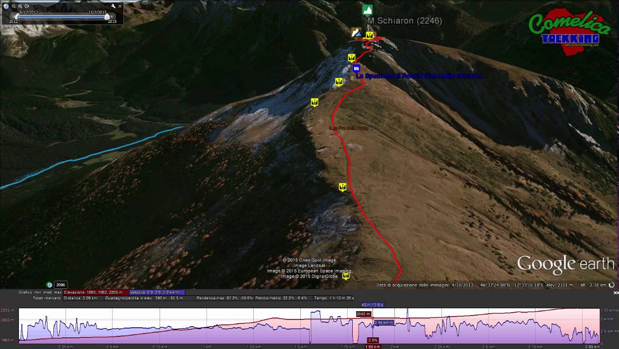
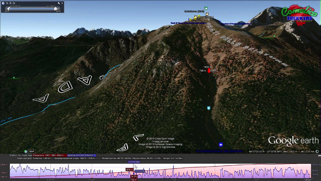
The ascent to Schiaron (2246 m a.s.l.) starts nearF.la Longerinalong a path with the CAI-196 trail sign. FromF.la Zovocontinue on the path with the CAI-169 trail along theVal Vissadato theF.la Longerin(2044 m a.s.l.), while from the Ciadon junction to theM.ga Londofor the path with the CAI-167 trail and longVal dei Longerinup to F.la Longerin by path with CAI-169 sign. FromM.ga Melin, however, you go up the path with the CAI-165 trail toP.so Palombino(2035 m a.s.l.), then go along the scree slopes under the Torrioni dei Longerin towards the east and, crossing the latter on steep little fork at the end, you come to cross the path with the CAI-195 trail from here and descend slightly to F.la Longerin. P.so Palombino can also be reached from the hairpin bend for Aiaredo by going up the path with the CAI-142 sign, passing close to F.la Poipera and continuing horizontally to the pass. Finally fromS.la dei Pradettigo up along a path with the CAI-165 trail, passCol dei Pradettiand reach the upper part of the Piani di Vissada at an altitude of 2073 m a.s.l., from here you cross the plains in a northerly direction -East until you take the path that leads to thesummit.


- 1
- 2
- 3
- 4
- 5
- 6
- 7
- 8
- 9
- 10