
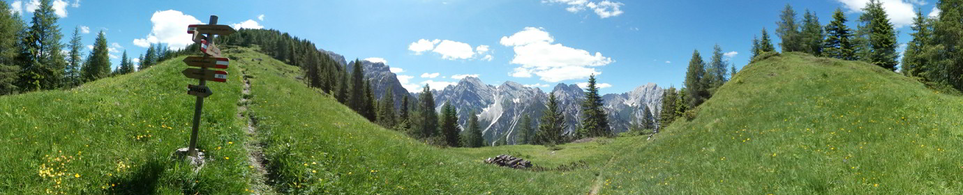
Monte Curie’
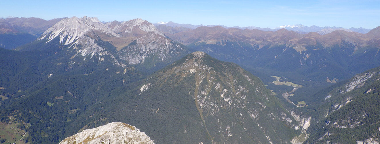
Geographical Features
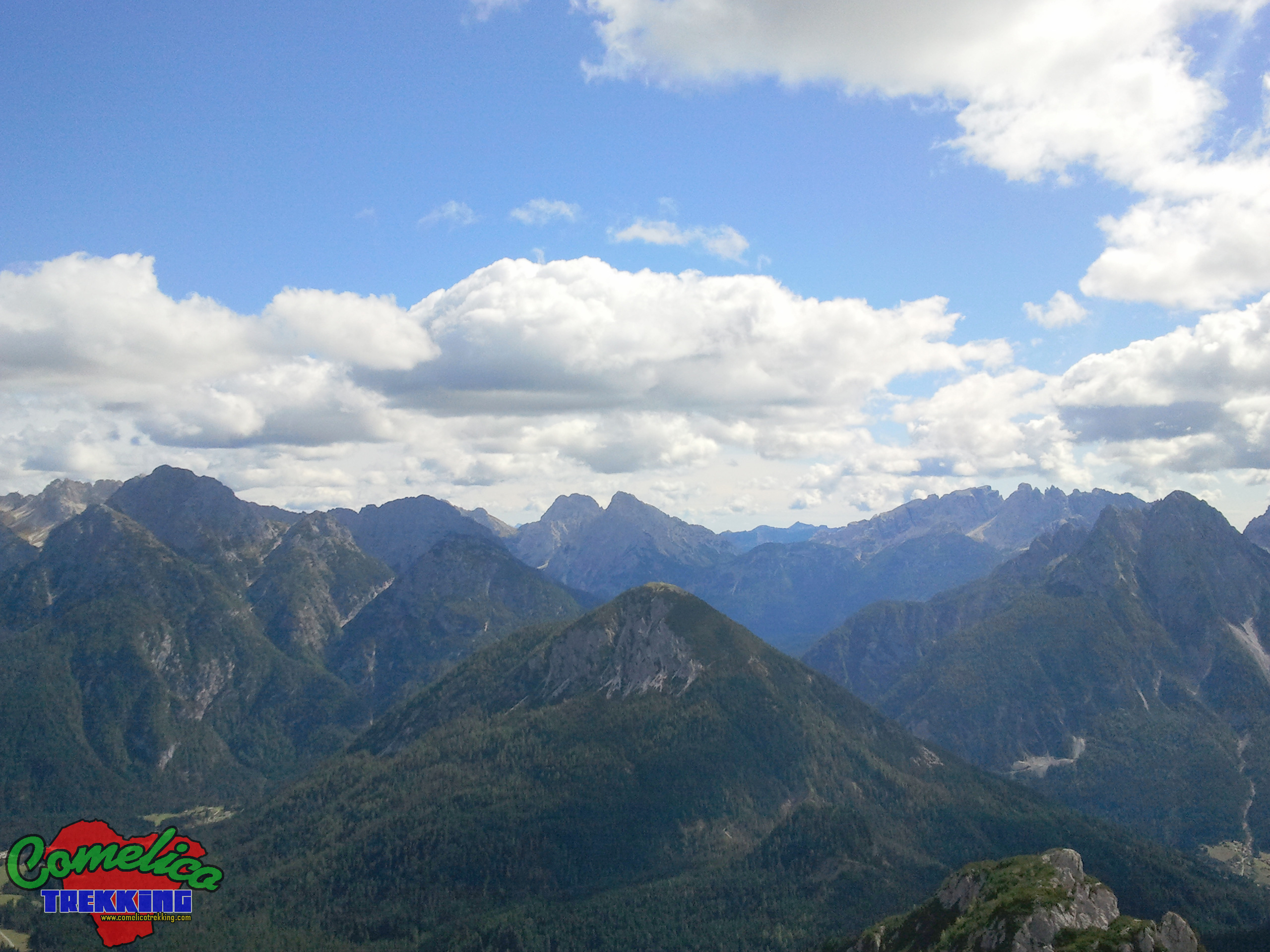
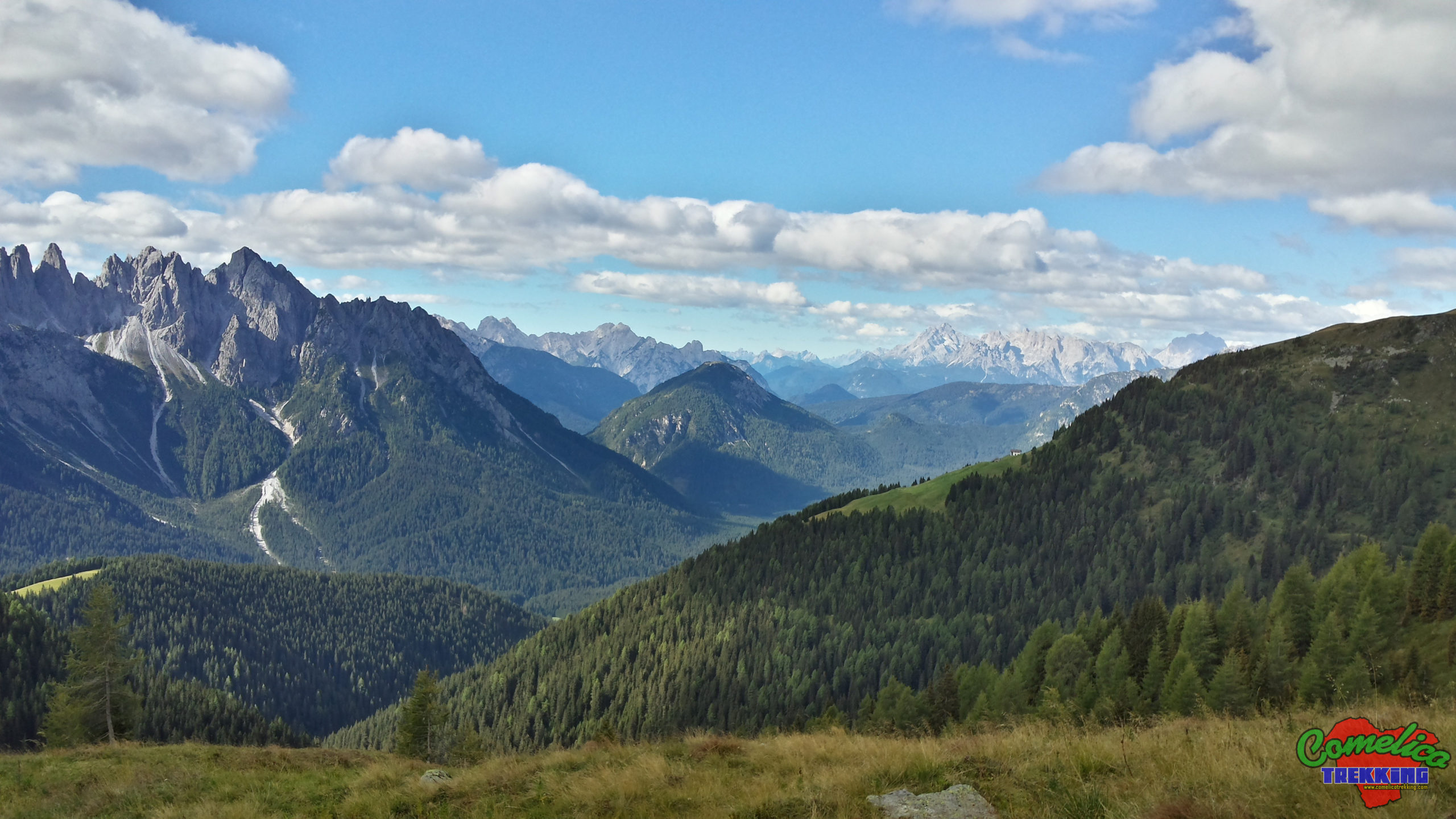
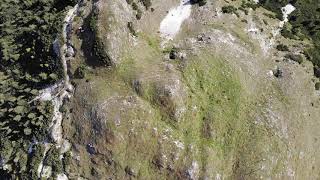
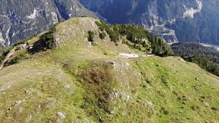
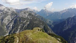
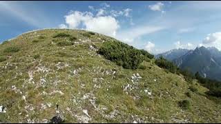
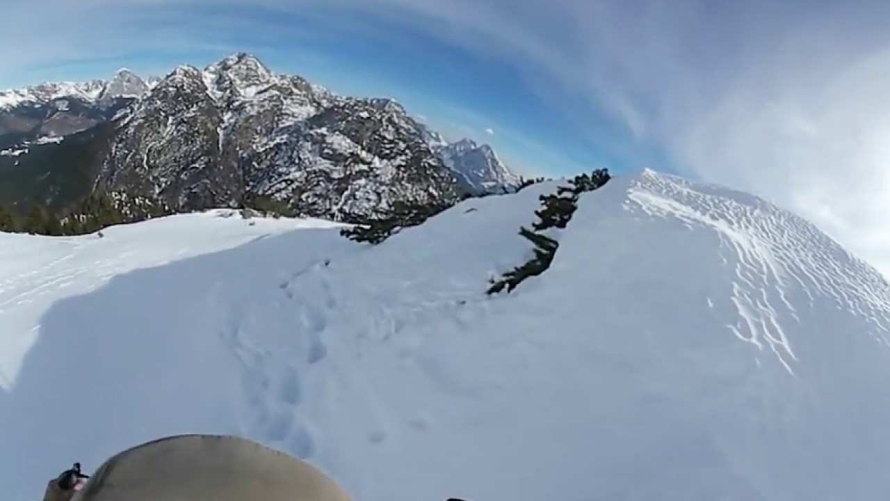
.the TopsMonte Curie’ is part of the central mountain range ofComelicotogether with theCrode dei Longerin,Monte Schiaron,Monte San Danieleand Monte Zovo. Located in a central position, it is almost always visible from all angles of the Comelicense area. It has a rounded base structure with a single large grassy top that reaches 2035 m a.s.l.
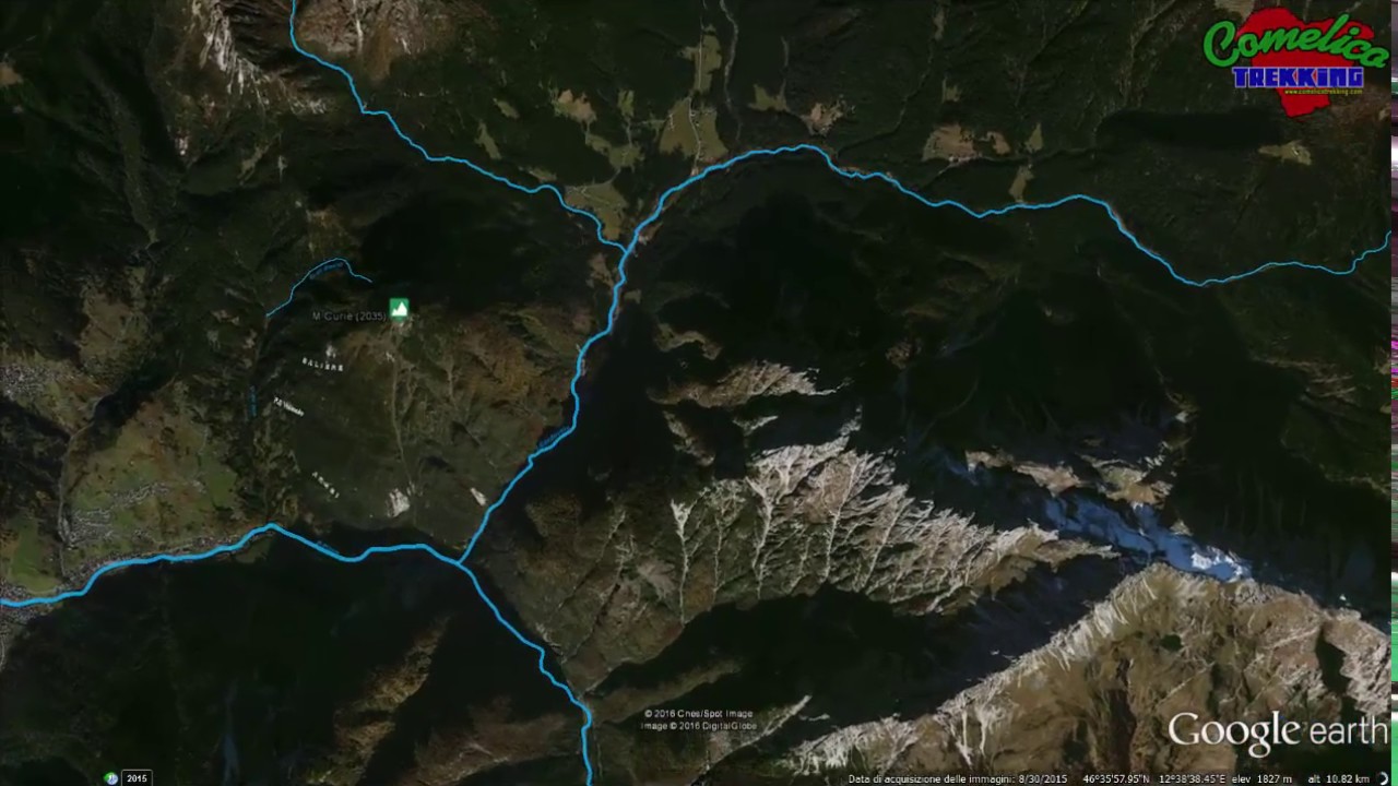
.the ValleysTo the North, the mountain has its rocky part which overlooks the meadows of theVal Visdende. The South side overlooks the villages and is rich in pastures and meadows and is largely passable by mule tracks of variable capacity up to an altitude of around 1500 m a.s.l. The east side borders theM. RinaldoGroup where, together withM. Carro, it closes the Val Visdende with a narrow access channel. The west side has dense typical bush but also pastures and meadows that border with TheCol di Tambarand TheCol della Sentinella.
. the RiversMonte Curie’ is confined to the north by the Rio di Vissada which separates it fromM. Schiaron, on the south side the Piave River separates it fromM. Terza Piccola. To the east the Torrente Cordevole carves it in a deep channel full of suggestive waterfalls. Finally to the west we find countless rivers and streams including the Giau di Saute which go down to form the Giao de Rin at an altitude of 1200 m a.s.l.
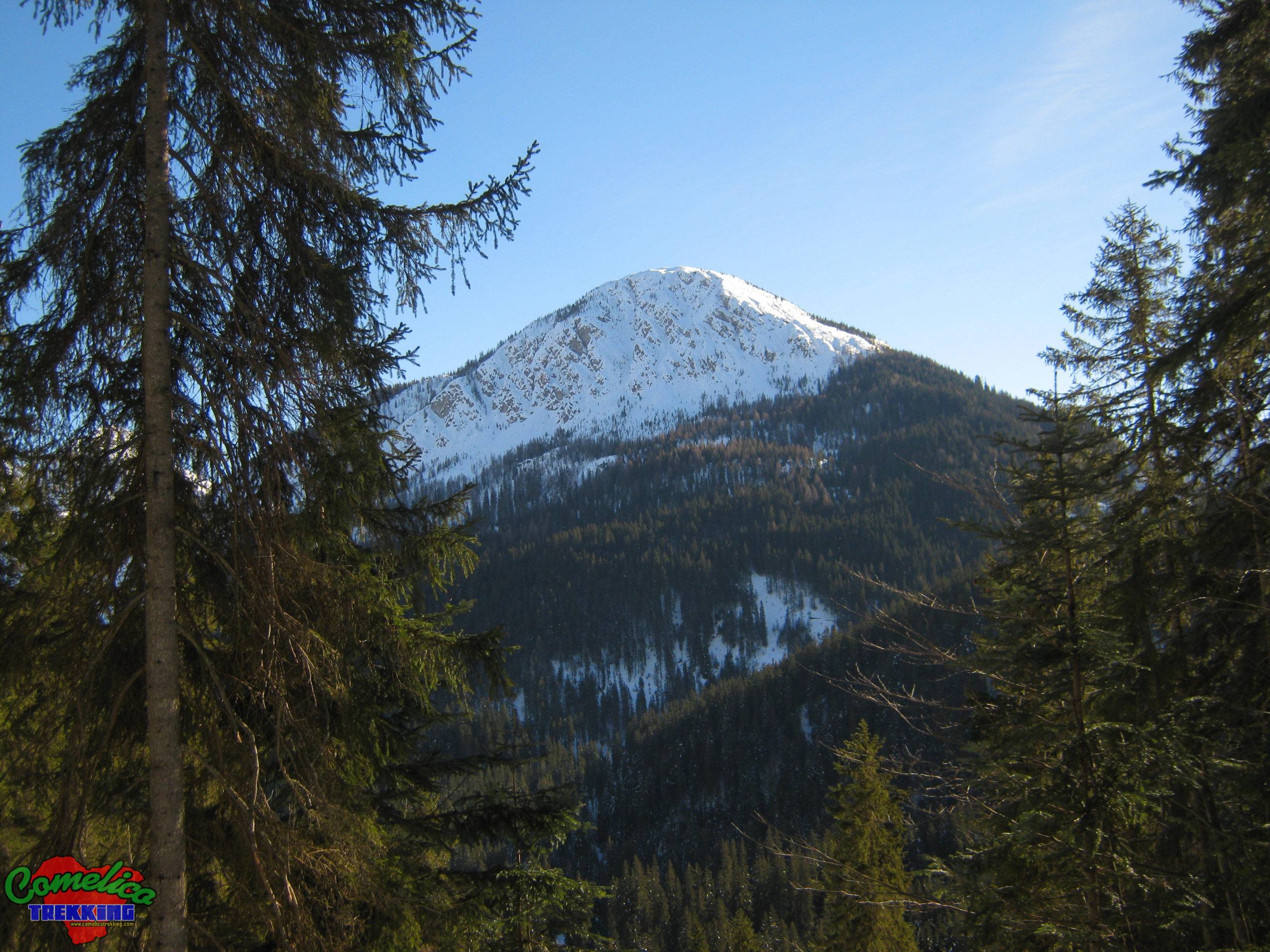
Political boundaries
The whole mountain rises in the municipality ofSan Pietro di Cadore. The south and west sides form the border with the municipality ofSanto Stefano di Cadore.
The Approach
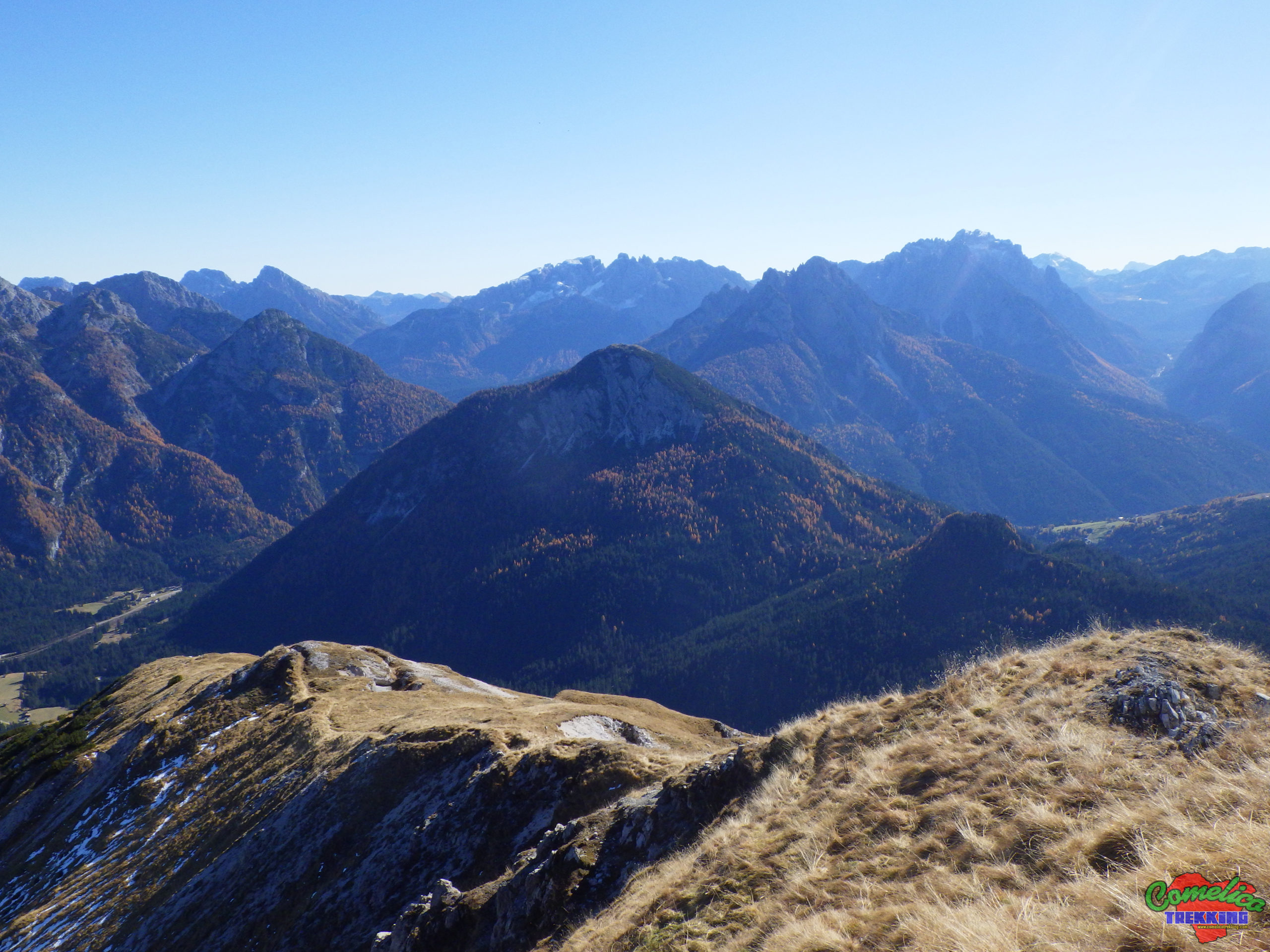
.from SouthThe South side of the mountain can be traveled up to about half of the total altitude with a small Jeep or by motorbike thanks to a wide road built by the company that managed the nearby Salafossa mine onM. Terza Piccola. It is taken by turning left immediately after the bridge over the River Piave along the road that leads up toVal Visdendefrom an altitude of 1000 m a.s.l.
.from F.la ZovoTo Monte Curie’ you can also access from the North-West side arriving atF.la Zovoon the municipal road from 3 distinct directions: going up from the village of Valle di San Pietro di Cadore along the road called “Terrible”or from the built-up area of Costalta di San Pietro di Cadore and finally fromVal Visdende, continuing westwards to reachPra Cividella. From F.la Zovo you descend for a few hundred meters along the road that leads to Valle di San Pietro di Cadore and at the crossroads of “Intra le Strade” you turn east on a comfortable and flat forest road, you pass the Hill of The Sentinel and arrived immediately after the localityForcettabegins the path that leads to the top already from an altitude of 1573 m a.s.l.
. from WestThe West side thanks to the presence of pastures and meadows
as well as several barns, the Mount is crossed by mule tracks which facilitate access to the summit. As soon as you pass the village of Valle di San Pietro di Cadore still onCol di Tambaron the municipal road that goes up to F.la Zovo you go down to the right over the resort ‘Cercena’ to the end of the Giao de Rin valley and then begin the climb to Curie’ from an altitude of 1050 m a.s.l. Another similar access can be undertaken by going uphill just over a kilometer from the town of Valle di San Pietro di Cadore and going down to the foot of the Costa de Ciotan where, after passing the Giao de Rin, the climb to the mountain begins at an altitude of 1200 m a.s.l.
.from NorthIf we are in Visdende valley we can go up to Monte Curie’ immediately after thePra Cividellalocality by going along the forest road southwards. From here the climb begins at an altitude of 1300 m a.s.l.
The Climb
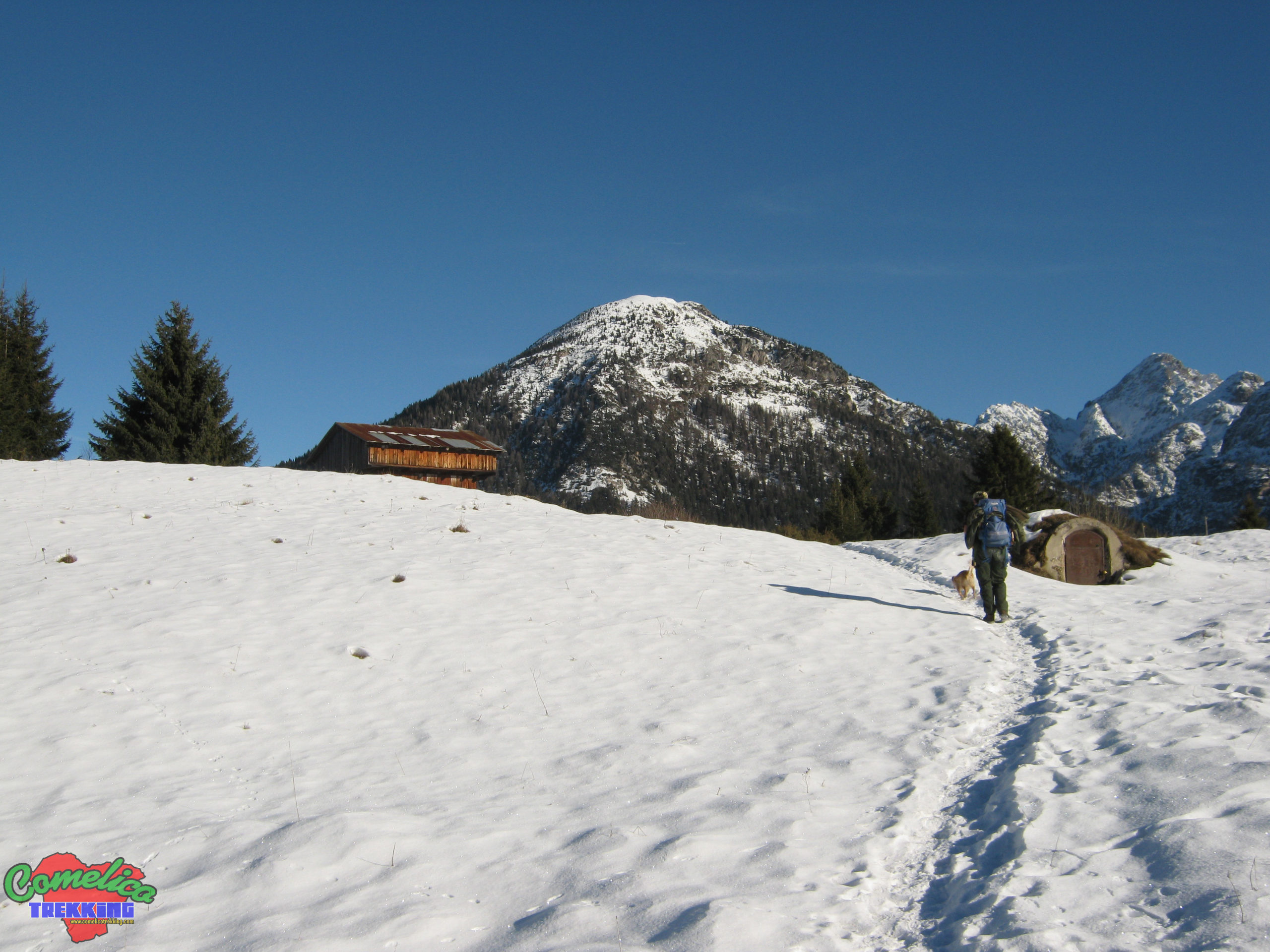
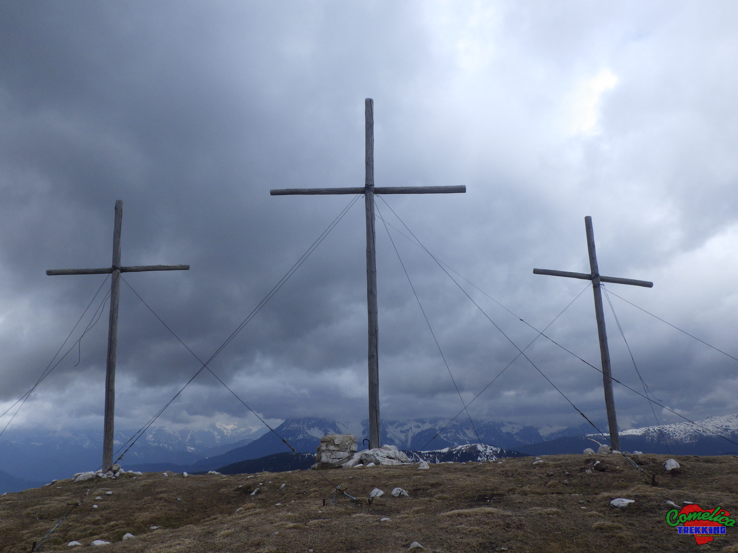
The Mount allows to be approached from the North, from the South and from the West being able to choose to begin the ascent from five different altitudes of altitude that differentiate the general difficulty. The main path with the CAI-158 trail climbs to the top first on a forest road up to the altitude of 1500 m a.s.l. in the locality of Saliere then gradually more and more narrow mule track which becomes a path at an altitude of about 1600 m a.s.l. where you exit the pine forest and go up pastures. When you reachThe Summit, go down westwards, zigzagging through pastures and woods up to the 1500 m a.s.l. of theForcetta.

- 1
- 2
- 3
- 4
- 5
- 6