
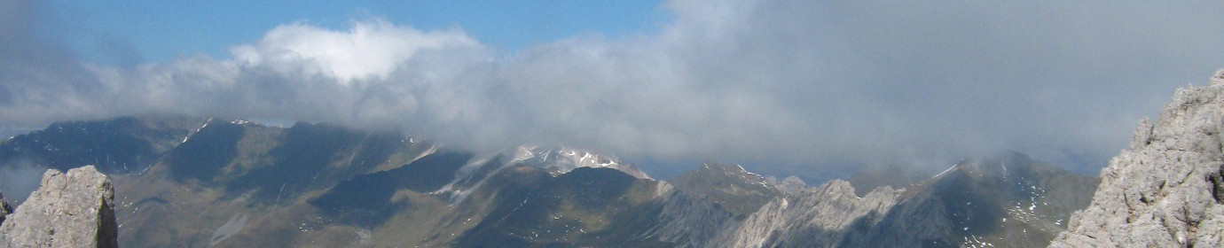
Mount Schiaron from Digon Valley (CAI-165-195-196)
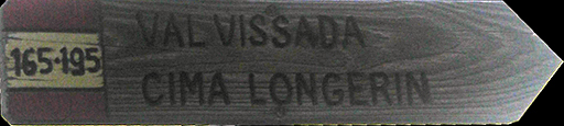
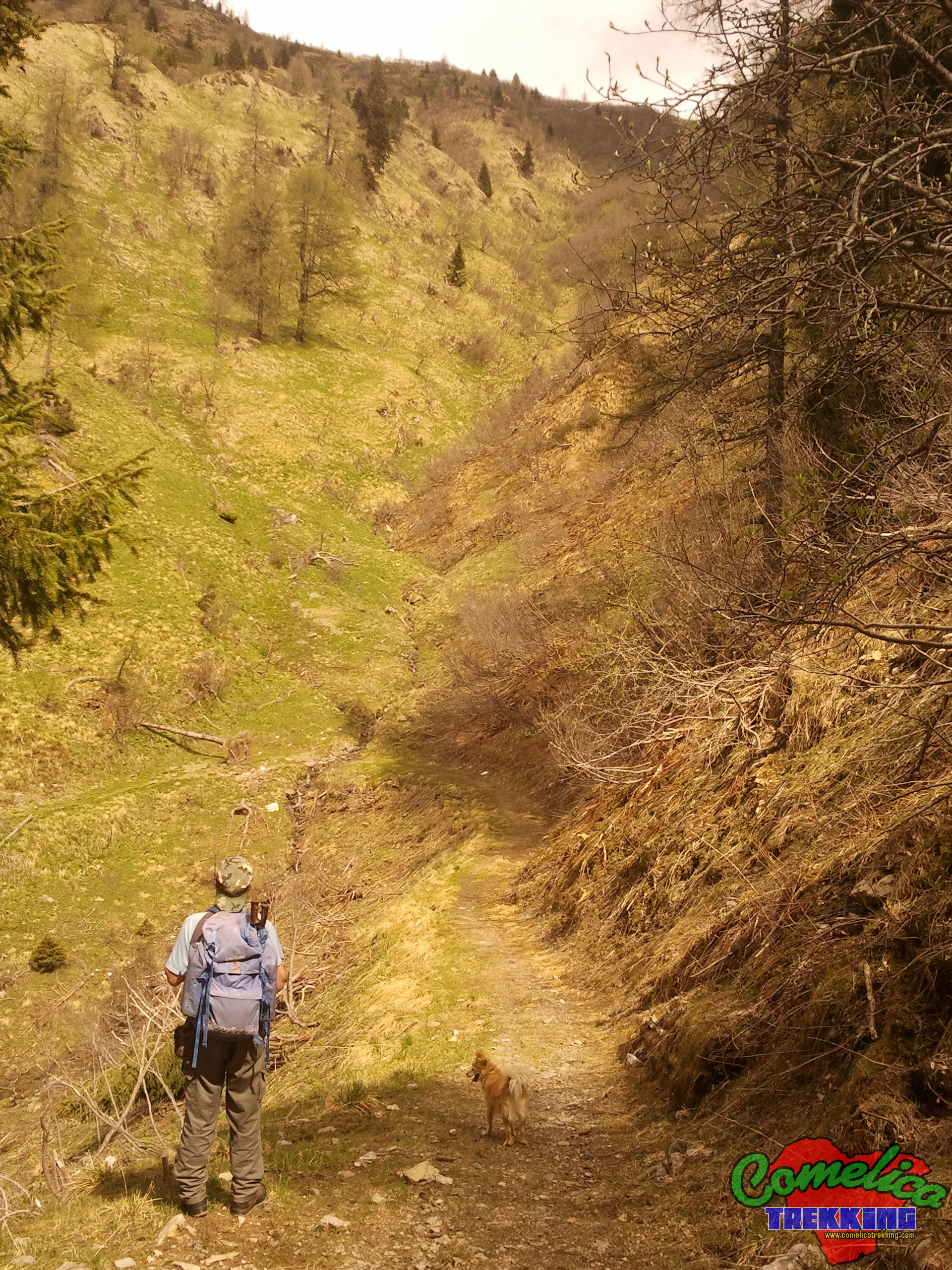
.165Our excursion begins at the share of 1660 m a.s.l byM.ga Melin, or, if we prefer, we can leave the car to Pian della Mola 1420 m a.s.l. The journey to the hut, passes through firing forest and is asphalted until the construction. To date, in some point the road is very rough, especially when you have to cross the Rio Mandrette. In a half hour of climb we travel the wholeVal di Melintowards the east and we reach the alpine hut of the same name, where the woods leaves room for the pasture still used.
We proceed in the same direction, passing now on a dirt road with CAI-165 signpost. Soon, going up, the pasture leaves space again on the woods, mixed between fir trees and bushes. Very rich area of water which also has swampy features. Now let’s proceed by gradually turning south; Abetaia never leaves us as long as she begins to mix with the larches and branches out. At this point we are now at the altitude of 2035 m a.s.l of theP.so Palombino, an important crossroads that dominates theVal di Londoand from which you have access to the climb for theM.Palombinothrough the normal route with CAI-142 signpost, but from which you can also go down toVal Visdendeby path with a CAI-167 signpost.
From the pass the Longerin towers observe Severe and very close. We continue for CAI-165 signpost, which now proceeds horizontally along the gravels at the base of the towers. At the east east of the complex, the path carried out to the south and decidedly altitude salt. We climb until we reach a small fork at the turn of the last tower from which we have a unique gash on the whole upper part of theVal Vissada.
Now, paying close attention to the winding of the street, not always clear, we direct towards the other side of the towers, being careful not to slip down, due to the remarkable slope, the presence of grass: which can be slipped in case of rain, and moreover, also the small width of the path. Slowly, it takes south west and, after crossing a small landslide ups and downs, you can easily go down to steep meadows until you cross the path with a CAI-195 signpost which leads straight toCima Sudof theCrode dei Longerin.
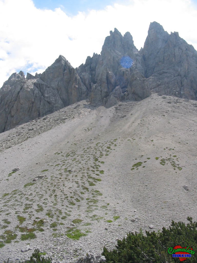
At this point we descend to theF.la Longerinmaking a small stop at the tunnel in the East tower.
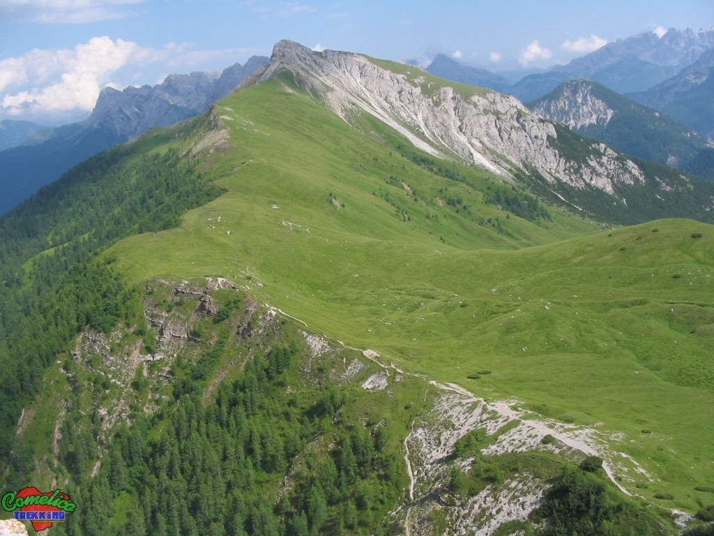
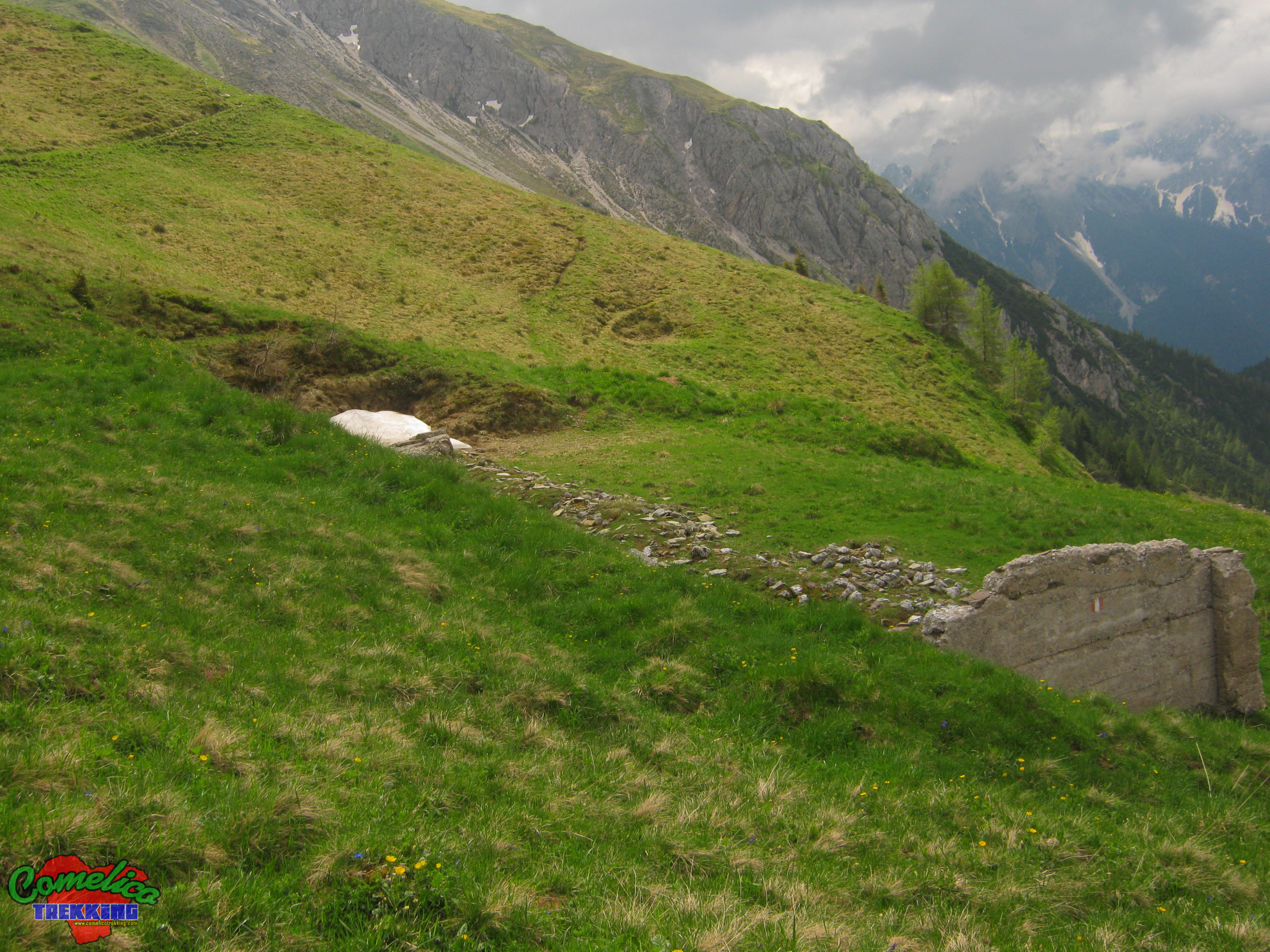
.196The path climbs towards the top ofMount Schiaron. You initially walk flat along the old trench excavations dating back to the First World War. As soon as we go up to the coast we can see on the right side of the path the ruins of theMalga Val Vissadawhich once housed sheep during the summer, while, just above the road on the left, hidden from the passage but clearly visible going down, there is asmall rainy lake.
Now we begin to climb on grassy slopes, the path is always well marked and not challenging. Along this simple stretch, on our left there are somemilitary cavestationsdating back to the First World War, now in a very bad condition. When we reach the fork near the summit, it stands out steeply in front of us. To climb it you have to go around it to the right passing under it and gain it from the south-east side on grassy slopes. In the crossing to the right, about halfway, you have to climb a gully with landslides and once you reach the top you can choose whether to continue to the right or to the left.
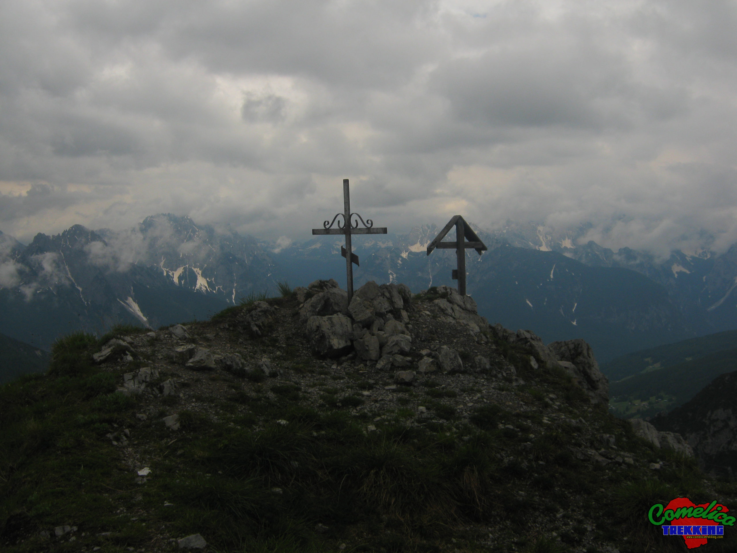
The easiest way turns to the right climbing over a boulder that hides the continuation, here the path is traced with stone cairns, we continue for about twenty meters along gravel arriving at the Sue East side of the peaks and turning 180 ° we just have to climb up to the cross which is about thirty meters from this point.
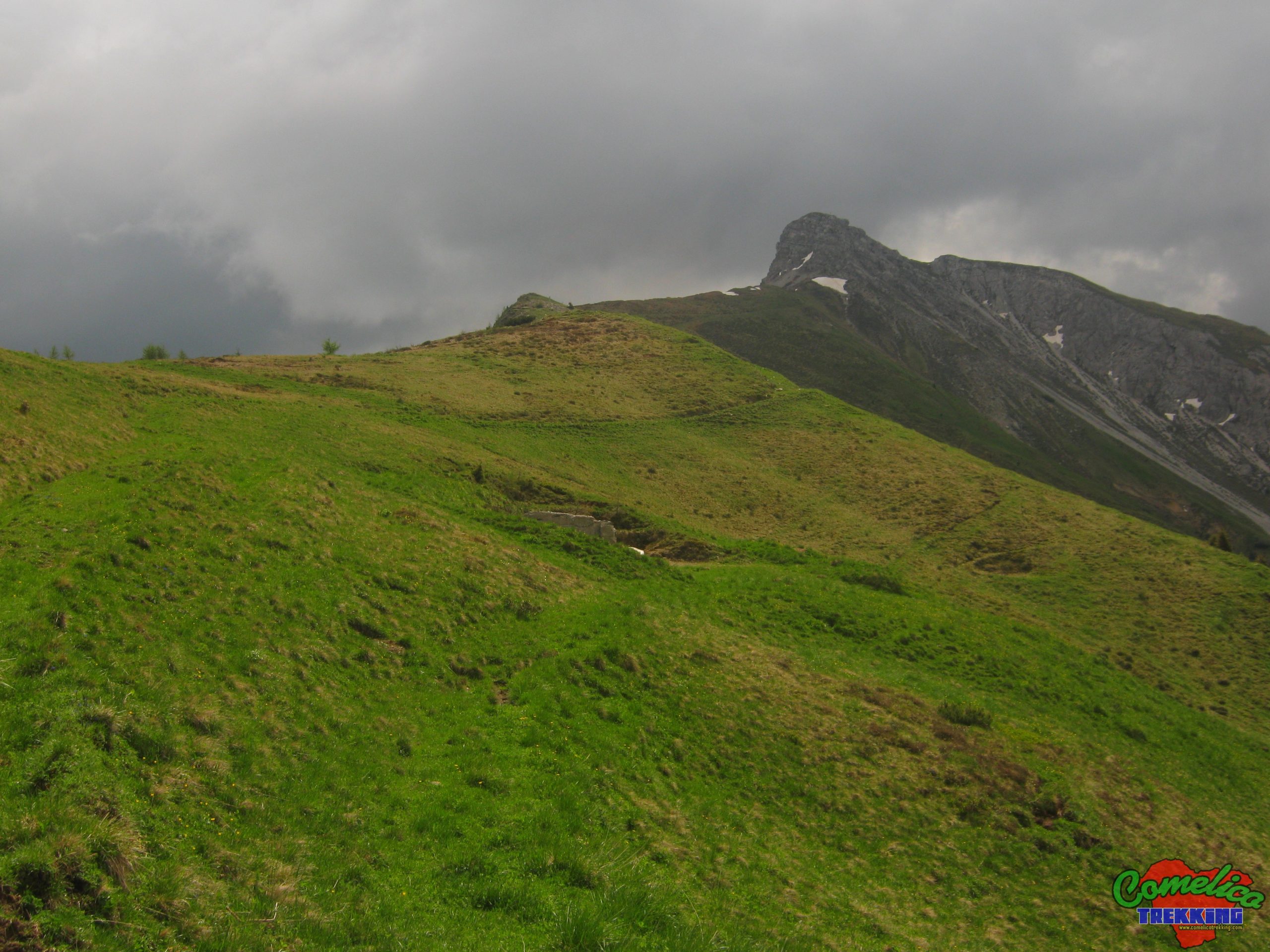
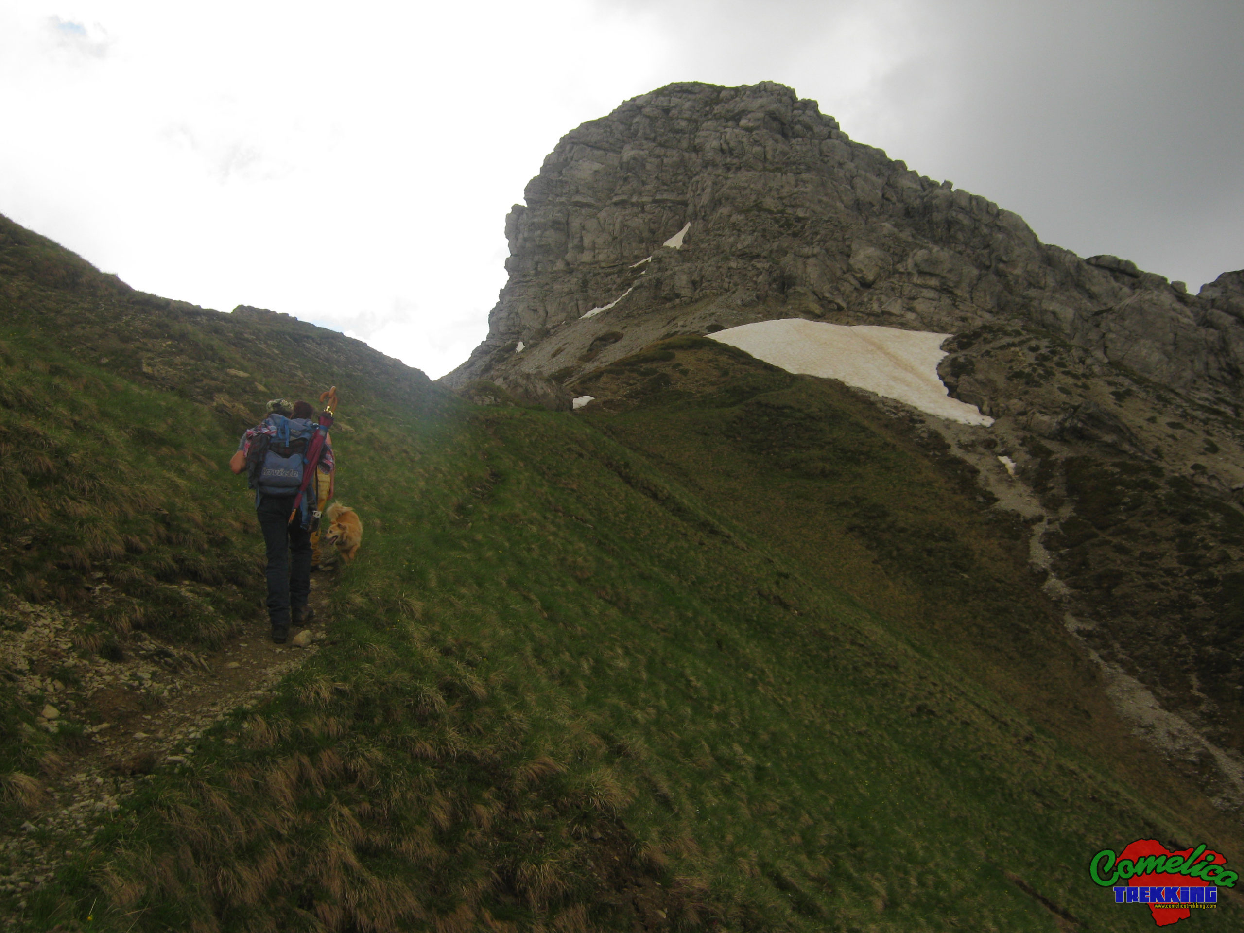
The route that leads to the summit, continuing to the left, is more challenging. On this side we go around the rocky tooth of the mountain and once on the north side, we have to cross a steep gullycrouchingdue to thenarrowpassage.Dangerous stretch for exposure. Then, continuing horizontally, you pass in front of a slit carved into the rock and then pass the entrance to thecave settlementdating back to the First World War, dug directly into the top of the mountain. Still on the north side, you can reach the top in a short time throughsteepmeadows.
The undisputed protagonists of the panorama are the C.de of the Longerin that look out imposing with their spires if we turn northwest. The summit offers a splendid view ofVal VissadaandVal Visdende, but also of the villages of the municipality ofSan Pietroin the first place. Its central position allows a 360° view of the Comelicense area, the nearby Monte San Daniele,Monte Curieand all the neighboring groups starting from the Rinaldo-Ferro Group a few kilometers away. The Eastern Boundary Line is also clearly visible and a little in the distanceMonte Peralba.
.considerationsThe ascent to Monte Schiaron leads to an altitude of 2426 m a.s.l.; starting from the M.ga Melin you have an elevation of 603m and cover 4km in about 2 hours. The difficulty of the excursion is EE as there are no particular difficulties and dangers along the climb, taking the final climb to the right of the summit. Conversely, the left turn, which allows the visit of military remains,is dangerous and no longer used. Instead, the crossing of the towers requires experience in following the track that in some places is not evident. In addition, some passages on the south side can be defined as dangerous. The descent can also be undertaken on theeast sideof the mountain, descending along the steep gully which at the end reaches a forest road that leads to the La Fitta locality in Val Visdende.
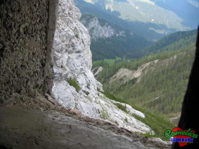
.the TunnelIn the surroundings of the F.la Longerin, facing The Torrioni, we can descend slightly from the Val di Londo side, along a path half-hidden by the pines. Continuing on a slight slope on gravel, it leads to atunnelcarved into the rock dating back to the First World War. The eventual shelter goes into the Tower for about fifteen meters and ends on the other side, where we find an artillery loophole that offers an unprecedented view of the Val di Londo.

.waterThe track guarantees a good supply of water, especially the first part of the climb in Val di Melin and up to P.so Palombino. The second part, on the other hand, does not present any source of water, which must therefore be taken first.

.bikeThe climb can also be undertaken by bicycle but only up to P.so Palombino as the road is generally wide. The ascent to the summit along path 196 can be undertaken but the crossing of the towers for path 165 cannot be undertaken by bicycle. The excursion can continue descending from the pass and heading towards Val Visdende.

.dogThe whole excursion can be accompanied by a dog or more, as long as the animal is used to the altitude and knows how to behave on high mountain paths in the presence of rolling stones. Alternatively, you must proceed with a leash. In general there are no passages that can put four-legged animals in difficulty.

.shelterThe presence of the new Val Vissada bivouac and the Longerin cave as well as the cave at the top of Monte Schiaron guarantee a good shelter in bad weather.