Spherical with the drone
After the mandatory bureaucratic part, necessary to be able to fly safely and in compliance with the law, I publish the spherical photos captured recently. Initially, the result was not exactly exciting! After some...
![]()
..dedicated to those who are not and who can no longer go

After the mandatory bureaucratic part, necessary to be able to fly safely and in compliance with the law, I publish the spherical photos captured recently. Initially, the result was not exactly exciting! After some...
Departure from below, near the tunnel next to the abandoned Salafossa mine. Strenuous climb along the steep road on the CAI-143 trail that winds mainly through the woods along an old mule track at...

New contents for the map of Monte Curie’, two spherical photos of the shelters near the top The Gallery on Mount Curie’ Inside The Gallery on The Peak of Mount Curie’ New video of...

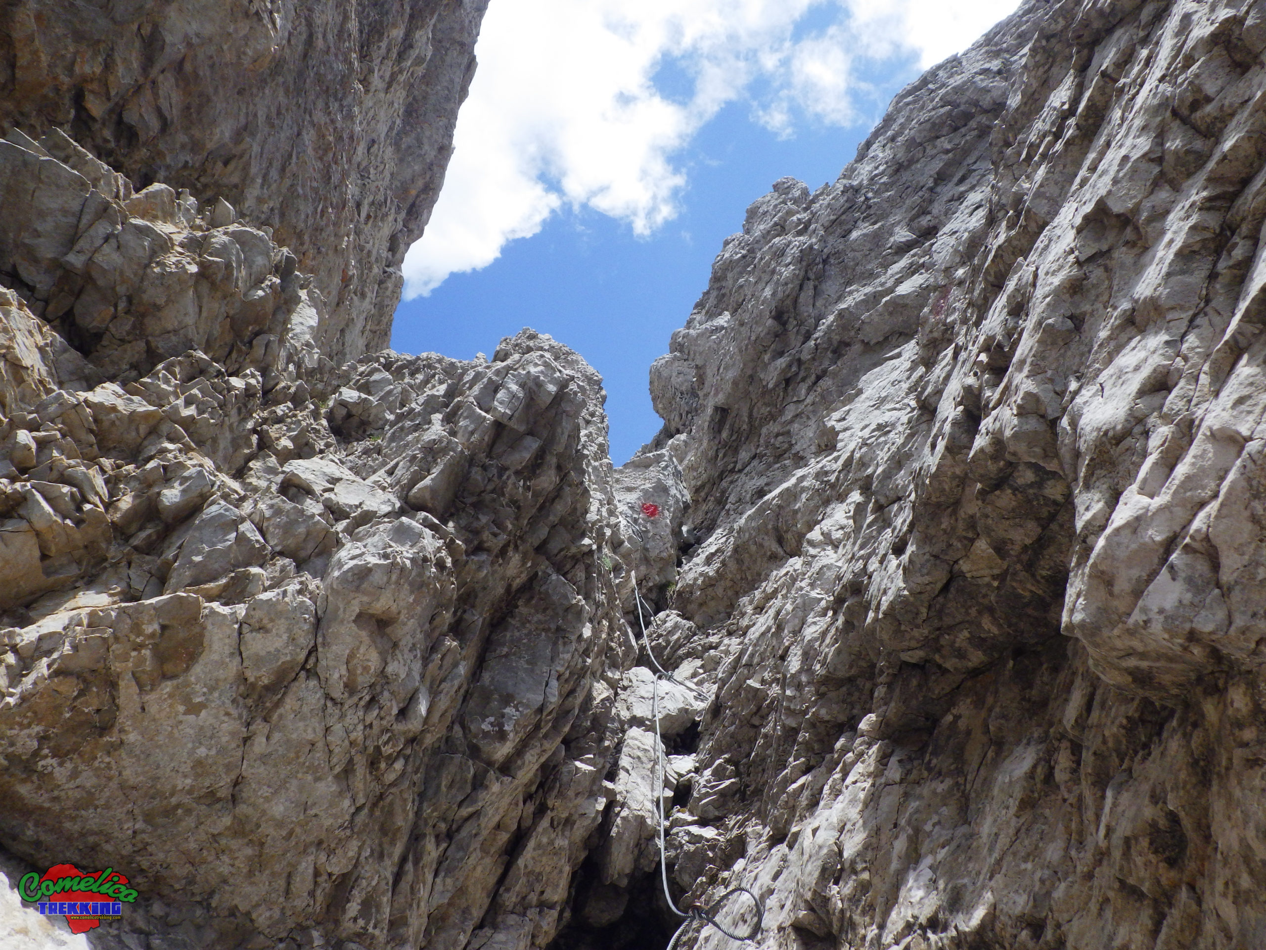
Beautiful sunny day for a climbing excursion like this. Uploaded harnesses and the necessary, we start for a path equipped with a metal rope and stairs, of medium difficulty, which winds along the Italian-Austrian...

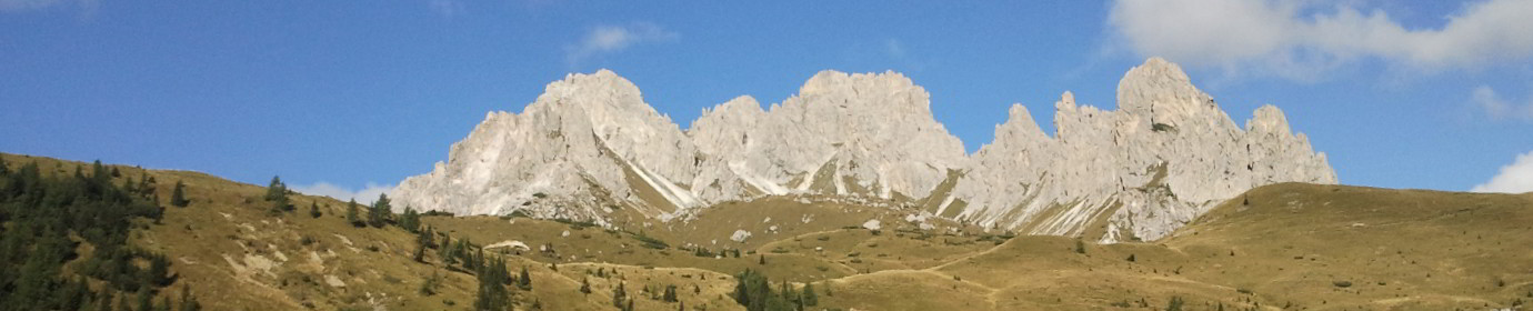
Simple ascent to Vallona starting from Melin Hut, an obligatory stop at the Armando Piva Bivouac and subsequent ascent to the Peak of Vallona and then continuing along the Cresta della Pitturina in the...
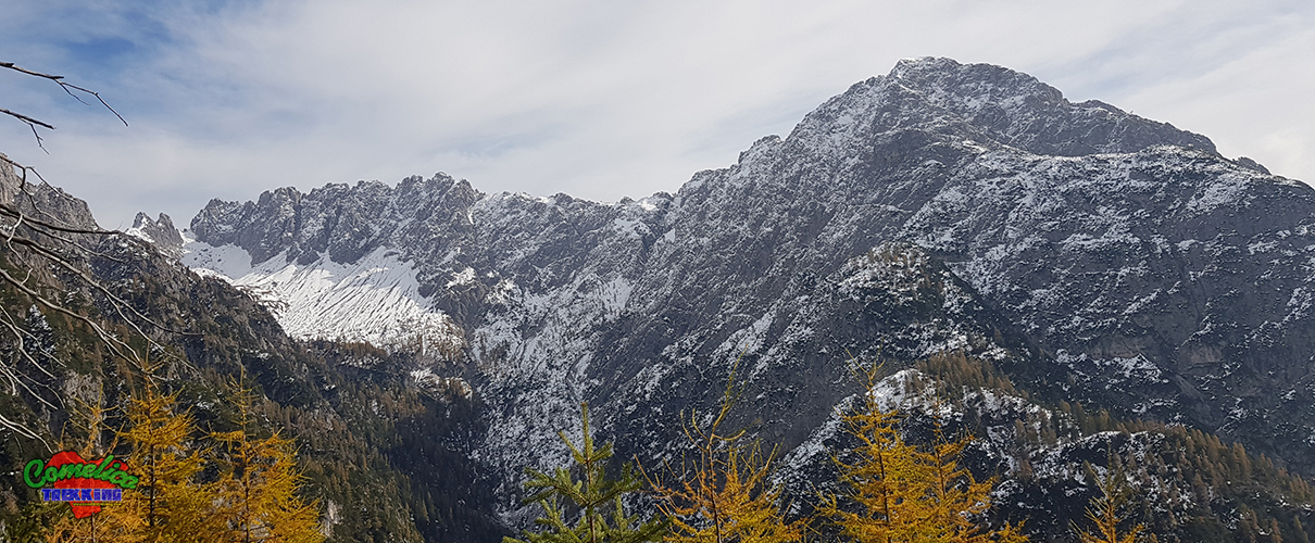
Third and last Spherical for the group of thirds, the highest of the three is completed with Mount Terza Grande with a sun and rock bath. The Oberenghe Pass The Peak of Mount Terza...

The panoramic photos of Comelico Trekking also arrive in Granda Valley and the overlying Mount Cavallino. Popular destination of the Comelico valley also by foreign tourists, thanks to the friendship path and a simple...

Nice route to pass on the colender of Mount Pupera of Valgrande that goes from Fork Stareza to Fork Camporosso in the territory of the municipality of Vigo di Cadore. The Fork Stareza The...

Street View also arrives at the fortifications of the First World War in Frison valley, after all this time the tunnels and bunkers are still closed for too long .. When will an opening...
An alternative way to reach the Valgrande fork of Santo Stefano is to start at the Peak of Ciampigotto valley and walk north, first crossing the Losco fork and then The Camporosso fork, at...