Google Maps – The Quaterna’ Hill
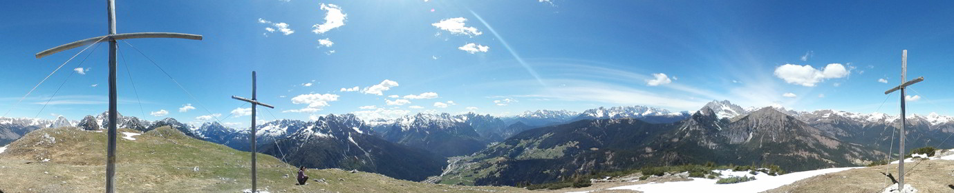
Simple loop excursion on Col Quaterna ‘which brought us to the altitude of 2500 meters above sea level of the summit which in time of the First World War was the scene of bloody clashes. Given its strategic position, it was used as a lookout and sniper post. Once remote, it was also a volcano! We start from the Coltrondo hut reaching the Riffreddo hut / hut using the CAI-149 trail marker. As soon as you pass the Refuge, you begin to climb on a large and pebbly mule track bearing the CAI-173 trail.
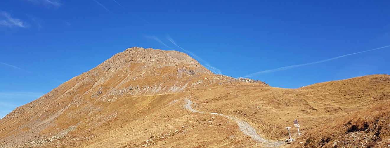
We easily reach the Sella del Quaterna from where the path to the top begins, which we gain in 20 minutes accompanied by an icy and persistent wind. After shooting with the drone, we go down to the saddle and continue towards the Silvella Pass along a narrow mule track showing the CAI-148 signpost. Here, always downhill, we walk for a short distance on the mule track that leads to the Malga di Nemes (CAI-146 trail sign). Reached the altitude of 2231 msldm we leave the road that goes down and we take an easy path that goes down slightly and will bring us back to the Coltrondo hut crossing a suggestive old larch wood (CAI-159 trail sign).
Shortly before returning to Malga Coltrondo we visit the military fort of Vallo Littorio, which has been kept in excellent condition.