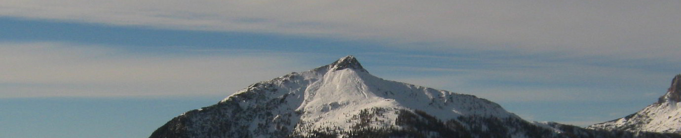
Mount San Daniele from Visdende Valley (CAI-167-169-165)
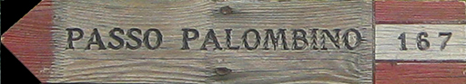
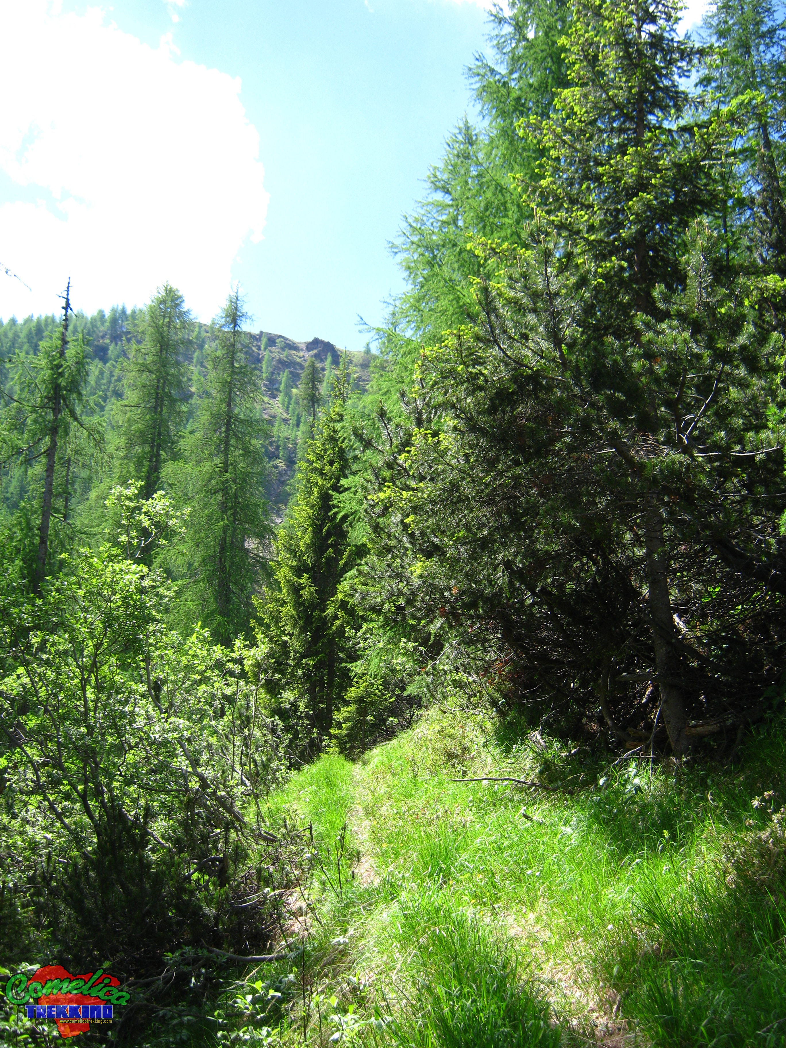
.167 If we are not allowed to drive on forest roads in the municipality of San Pietro di Cadore, our walk starts from the Ciadon crossroads, otherwise we can reach the M.ga Londo by car. The asphalted road with the CAI-167 trail proceeds towards the North West and, following the bed of the Londo River, we find ourselves in the mixed larch and fir forest between Colle Spina and Monte Schiaron. Soon in twenty minutes we arrive at M.ga Londo (1643 msl). Our path becomes more slender and increases in slope; when the wood begins to thin out, in the locality of Sorgenti del Londo (1696 masl), we leave the path for P.so Palombino and undertake the ascent to F.la Longerin, entering the steep and steep Val dei Longerini for the CAI-169 trail sign.
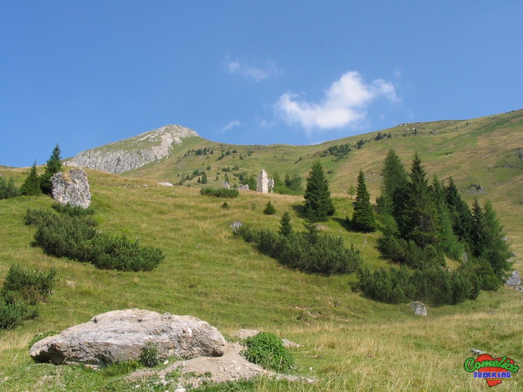
.169 The whole ascent takes place in the mixed forest along a well-marked and hollowed track, with the exception of the initial attack on the road which is accessed through meadows. In an abundant half hour we are therefore at F.la Longerin (2044 mslm) ready to take the path with the CAI-169 sign which then shortly crosses the 165 sign which crosses I Piani di Vissada entirely to the edge of the Valley.
.cstm As soon as we pass the fork that from Val di Giao Storto we turn southwards slightly up the ridge of the mountain from the Vissada side. After passing the small scree that goes up we continue on the ridge now among the mountain pines a few dozen meters more. The path without official signs is marked by little stone men, now it climbs steeply to the right until it reaches the ridge and then continues on the other side for gravel. You go beyond climbing the screes that give on the Giao Storto Valley. Always oriented towards the South, we proceed on a stony and non-binding path until we reach a small stony plateau below the summit. Now turning 90 ° we face the last climb that leads to the summit paying attention to the slope that becomes more demanding.
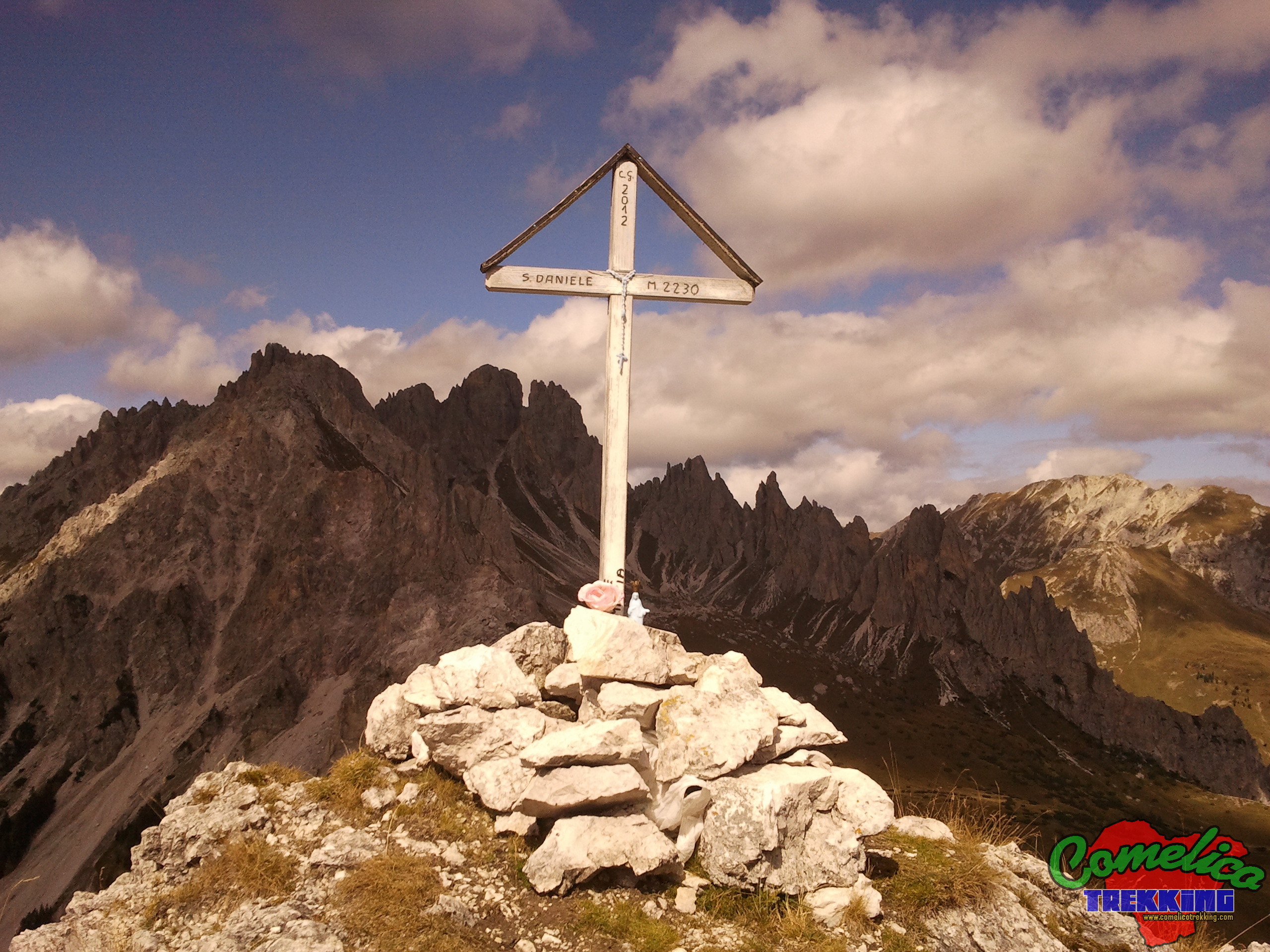
.Considerations The climb to San Daniele leads to an altitude of 2229 msl. della Cima; starting from M.ga Londo you have an elevation of 586m and you can walk 3.5km in about 2 hours. The difficulty of the excursion is E as it does not present particular difficulties or dangers.
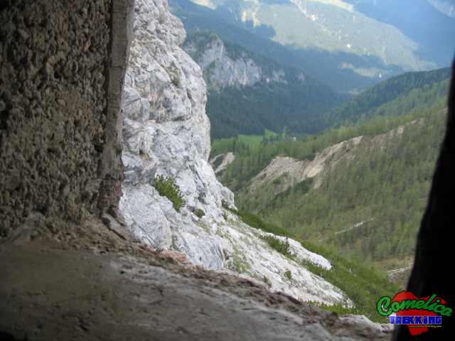
.the Tunnel Just past the Longerin river, before crossing the path to P.so Palombino, going down a path hidden by the pines, you can visit a cave dug into the rock dating back to the First World War. Any shelter goes into the Torrione for about fifteen meters and ends on the other side, where we find a small window overlooking the Londo Valley.

.water The track guarantees a good supply of water, especially the first part of the climb in Val di Londo. The second part, on the other hand, does not present any source of water which must therefore be taken first.

.bike The ascent along the Longerin Valley cannot be undertaken by bicycle and the ascent to the summit cannot be undertaken with the said means. The cycles can travel, with some difficulties because of the marshy terrain, only the ascent to P.so Palombino.

.dog The whole excursion can be accompanied by a dog or more, as long as the animal is used to the altitude and knows how to behave on high mountain paths in the presence of rolling stones. Alternatively, you must proceed with a leash. In general there are no passages that can put four-legged animals in difficulty.

.shelters The presence of the new Val Vissada bivouac, the Longerin cave and the M.ga Londo guarantee a good shelter in bad weather.