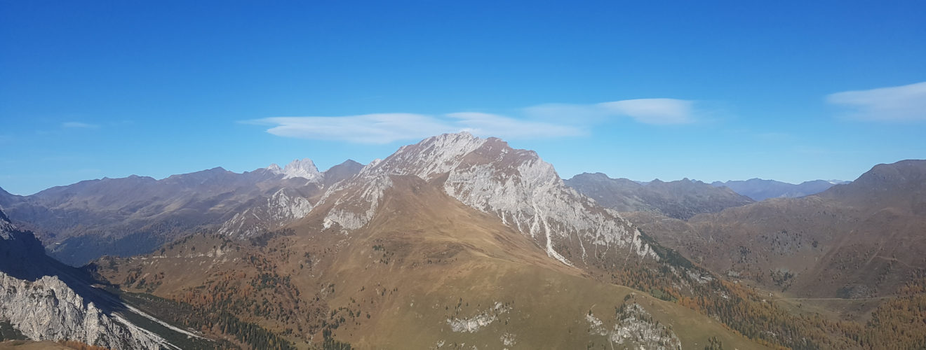
Google Maps – The Mount Palombino

Long tour for aided paths today. I went up to the Fork Dignas by car for the spherical photos then descended to the Hut, where I left the car, I went up the Valley of the Palombino up to the double peak of the mountain. Subsequently, I went down to the Vallona Pass via ferrata and climbed the ridge to the west gully. The return to the Hut for the chamois via ferrata.


