
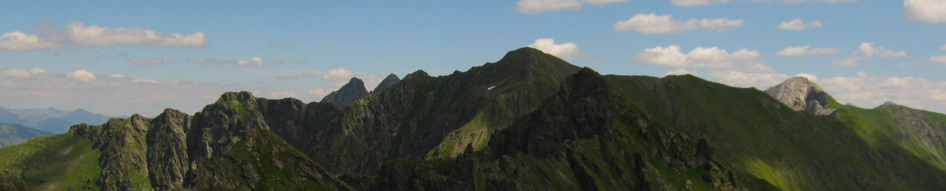
Monte Aiarnola
The Geographical Characteristics
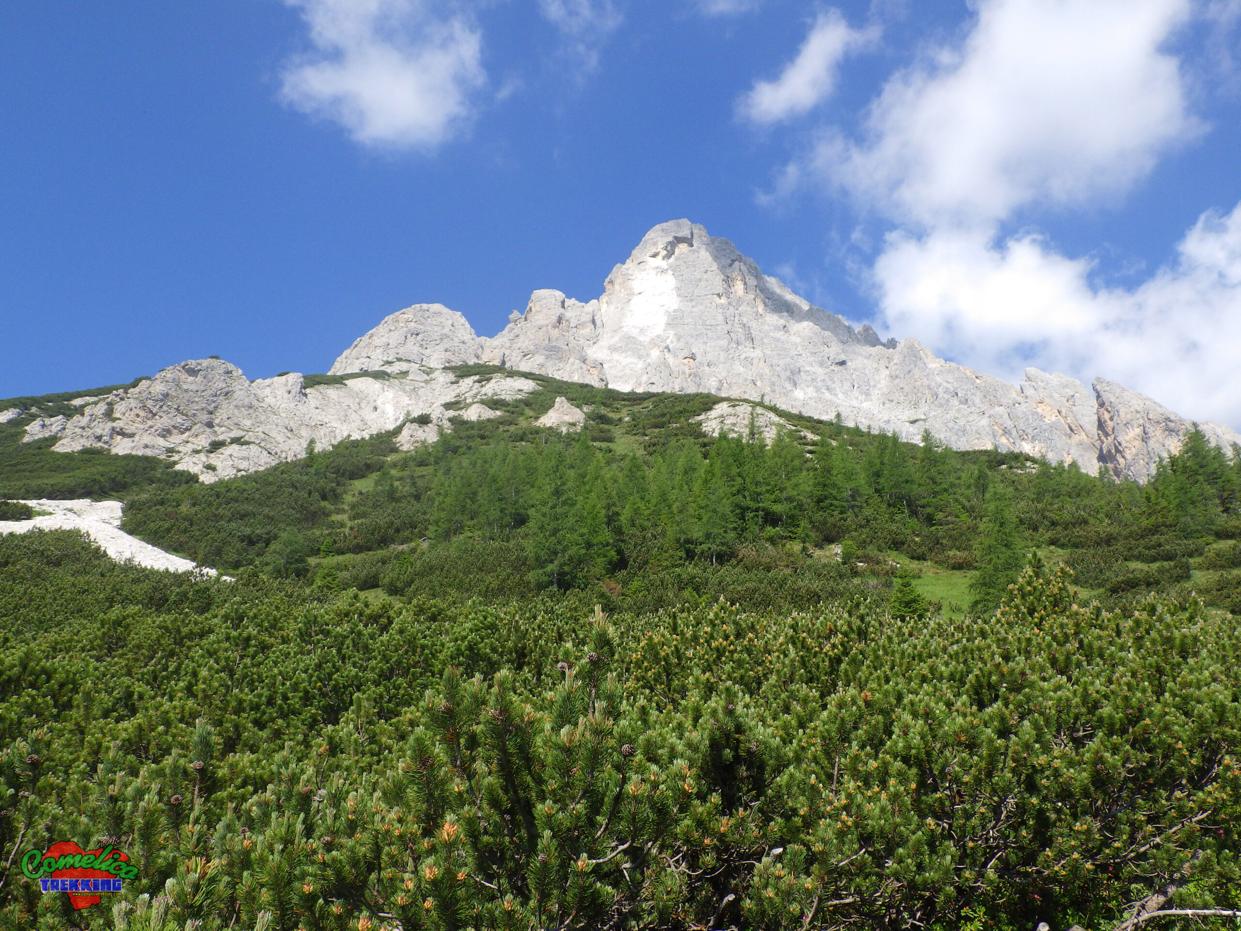
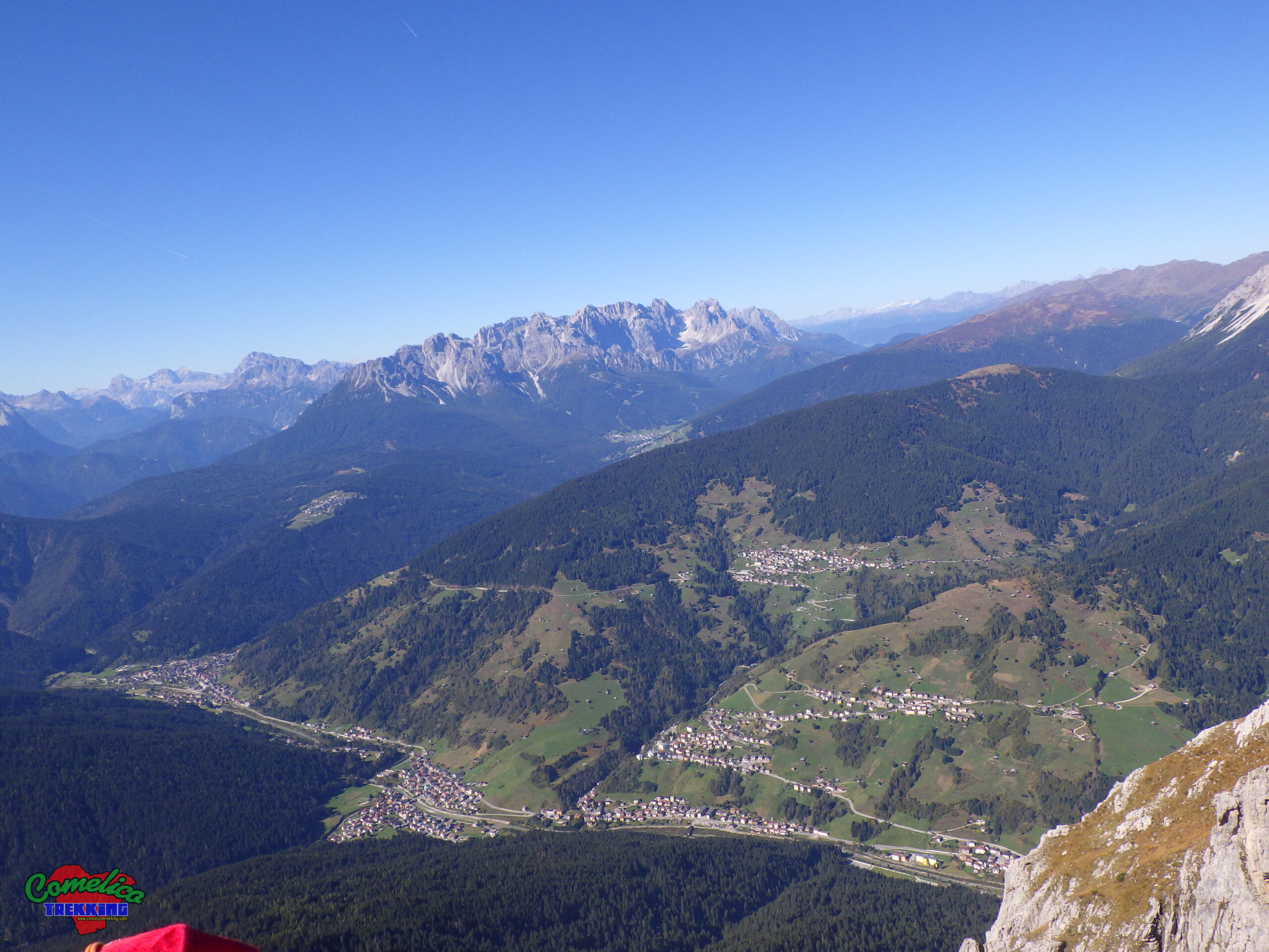
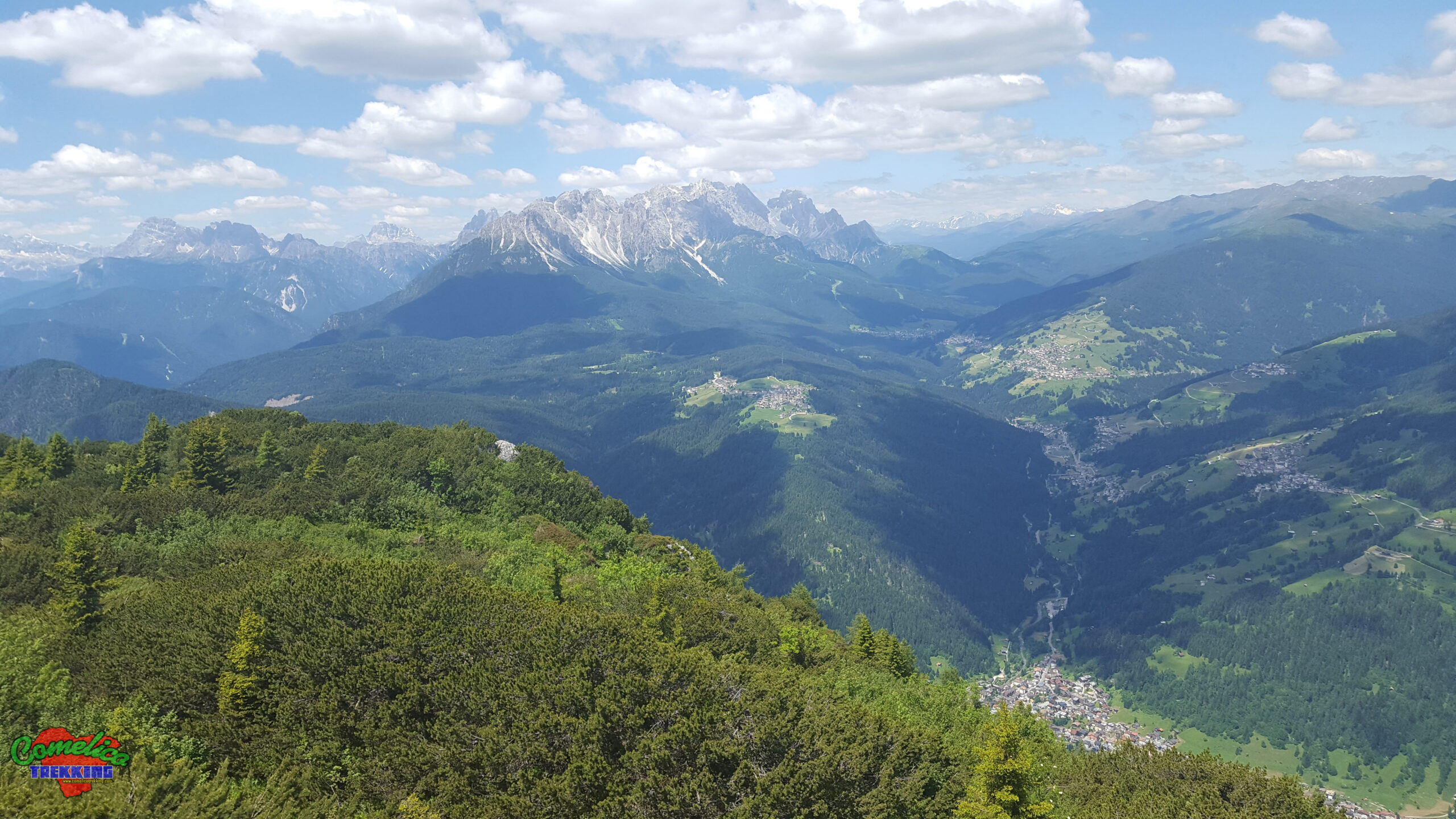
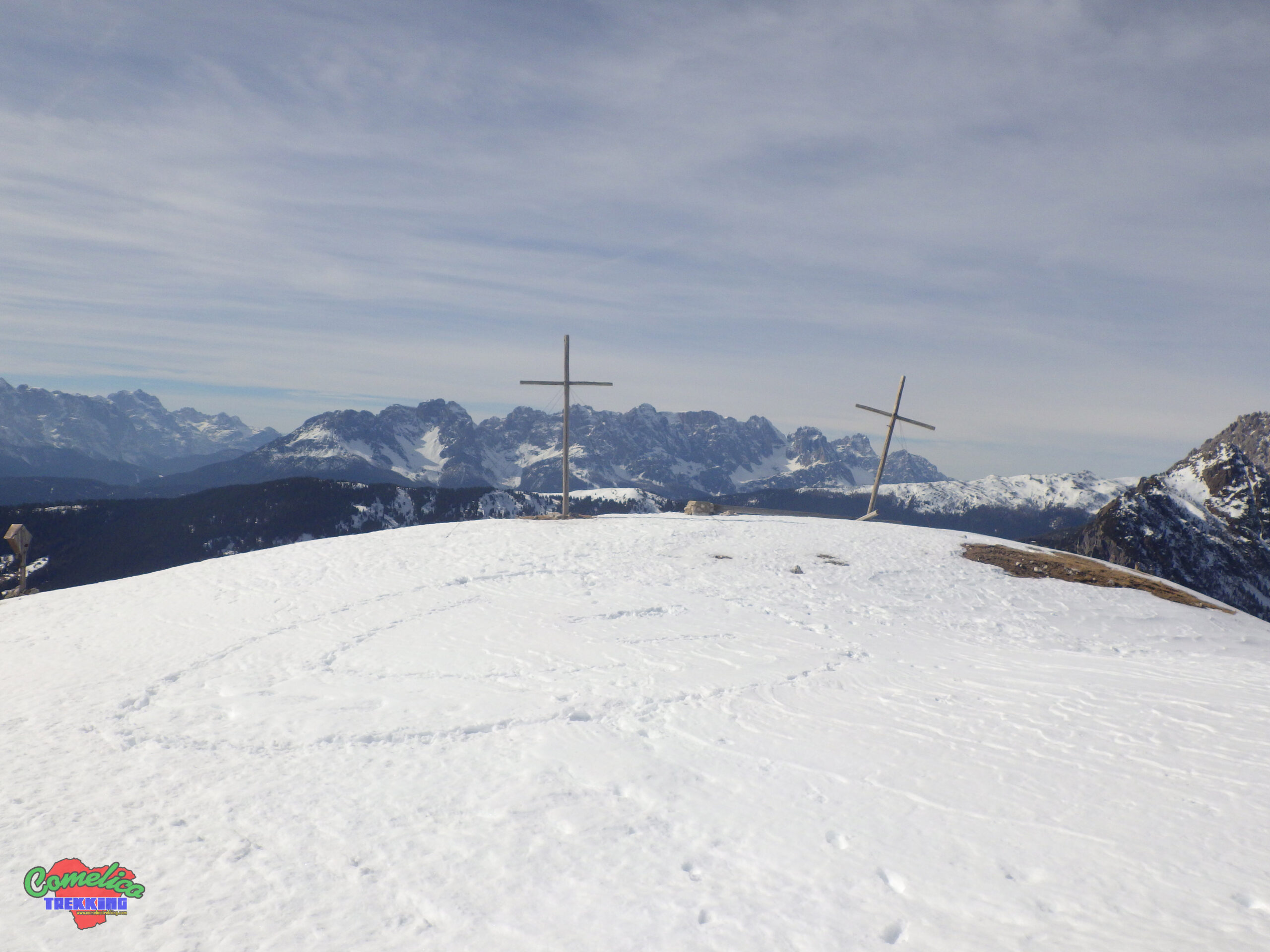
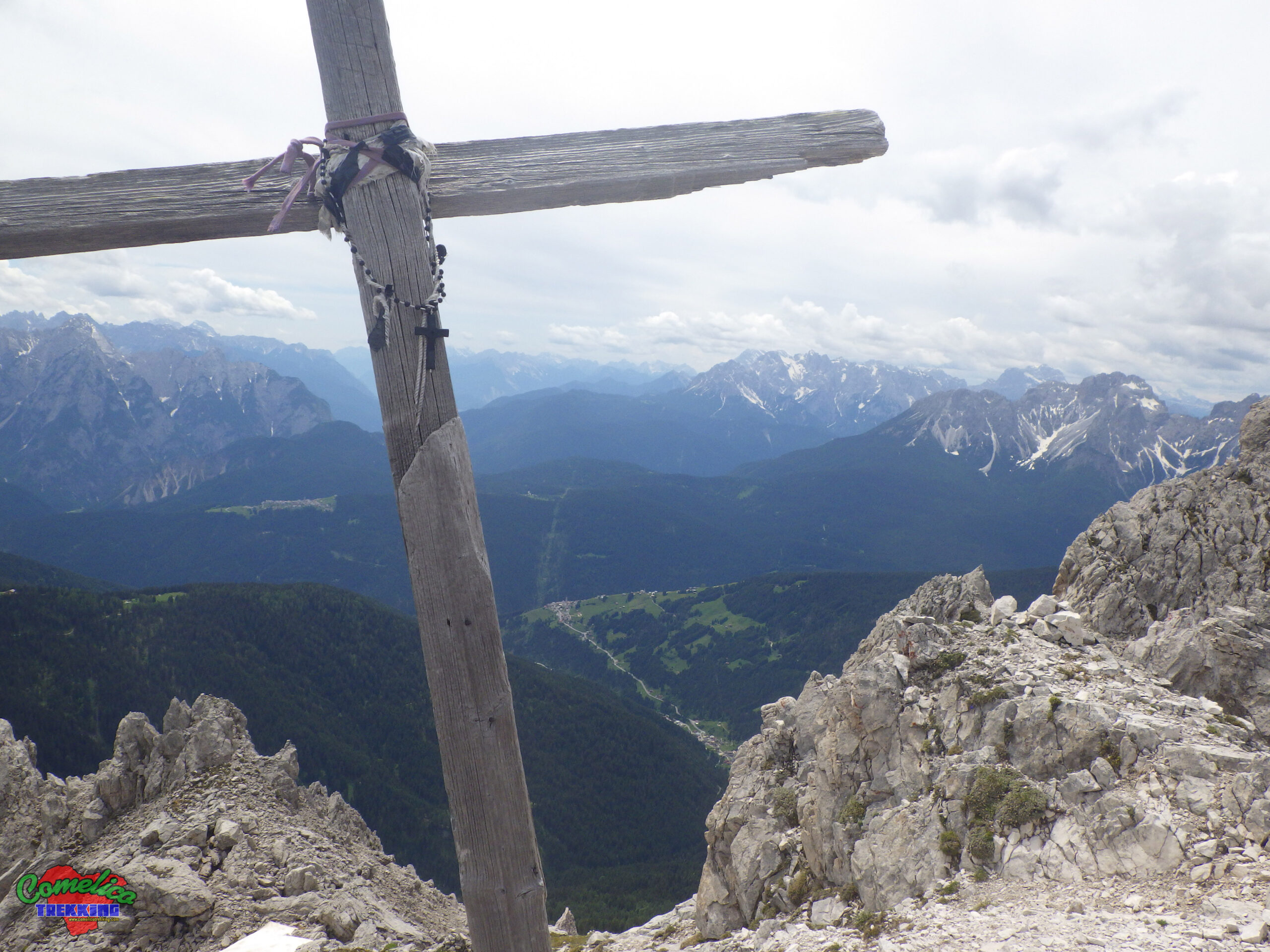
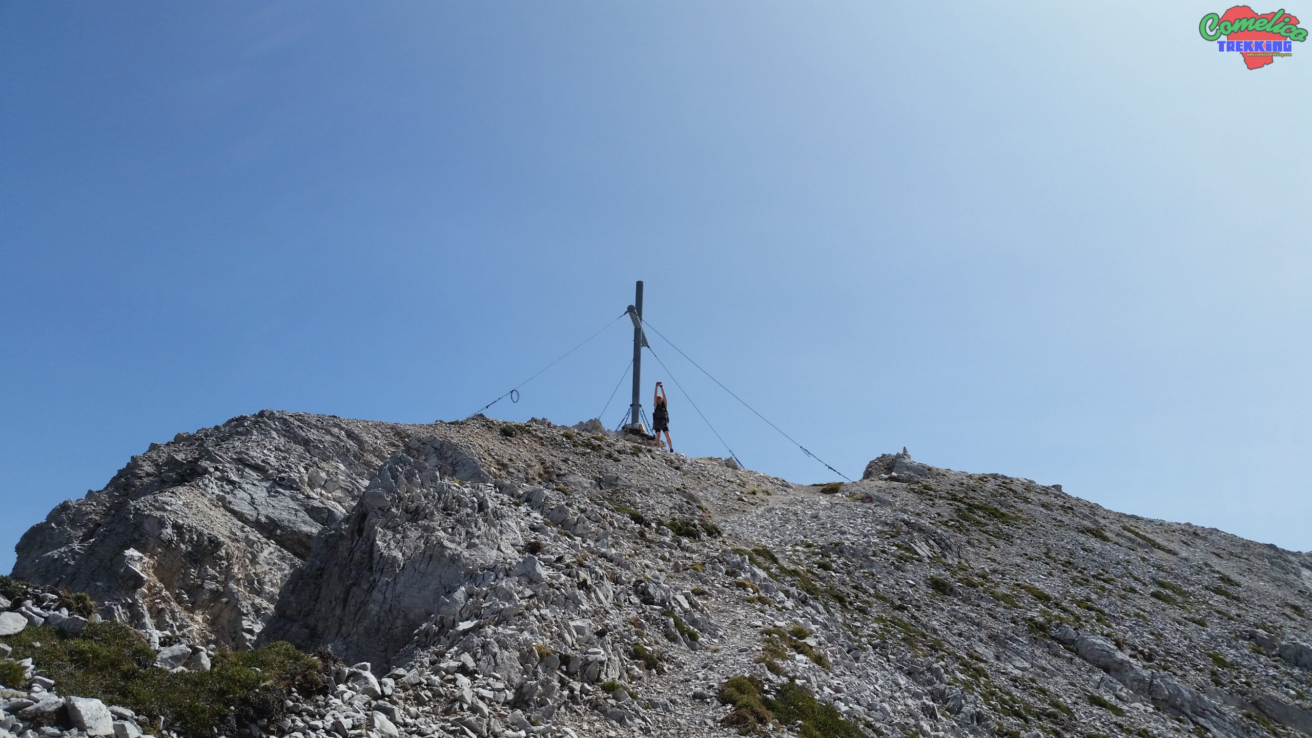
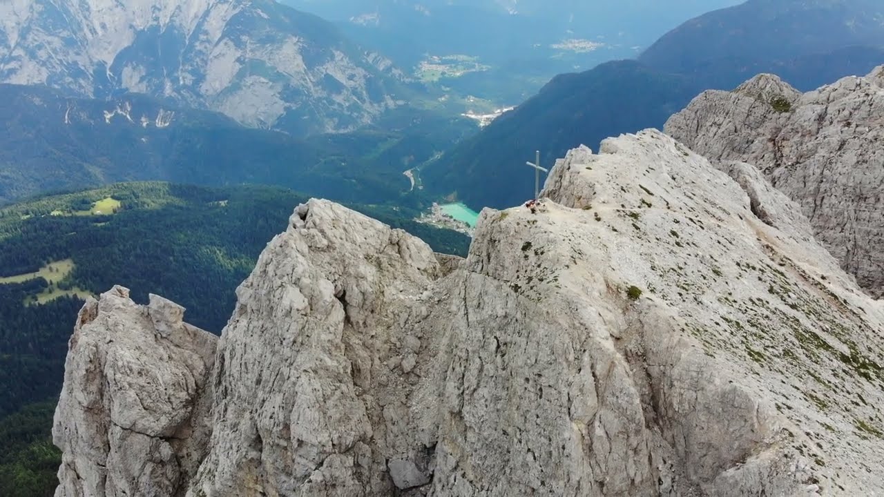
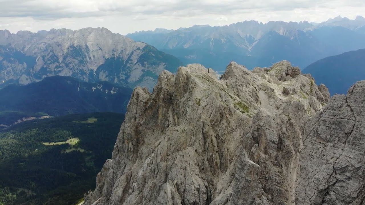
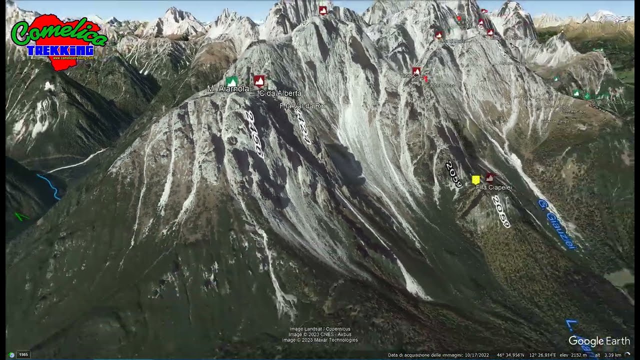
.the PeaksThe Monte Aiarnola belonging to the Popera group reaches the altitude of 2456 m a.s.l. It stands as the first summit of the block, along its southern side. The East side overlooks the fir woods surrounding the inhabited area of Padola while towards the Southwest he towers on the town of Auronzo. To the North, after theForcella Val da Rin, the group continues with the Croda da Campo. Instead the southern side thinns to the Mountain Pine woods. The Peak, not for everyone, due to the crumbly rock can be reached by both sides, The normal way is easier and starts near thePasso di S. Antonio.
.the ValleysAround the mountain extend Mountain Pine forests and subsequently Fir trees. In greater presence on theVal Comelicoside, as before the inhabited areas of Padola and Danta di Cadore. The South side ditto towards Auronzo di Cadore. On the back of the mountain, the long Val da Rin de Aiarnola is carved, to face the mountain on that side, one must go up entirely by the location of Villa Grande in the town of Auronzo.
Political Borders
Monte Aiarnola together with the whole group of Popera separates the municipality ofComelico Superioreto the East from the municipality ofAuronzo di Cadoreto the West. The Summit, and all the ridge that thinks Northwest act as border between the two Belluno municipalities.
The Approach
.from PadolaReached the inhabited area of Padola di Comelico, continue on the SP-532 in the direction of thePasso di S. Antonio, before crossing the lake ofS. Annawe leave the car on the roadside, in the appropriate pitches and, we walk towards the west in the direction of theMalga Aiarnolaon forest roads.
.from DantaCertainly more comfortable, access to the Normal way from Danta di Cadore is more immediate. Leaving the town behind us we continue on the SP-6 to the Passo di S. Antonio from where we take the forest road that takes us to the slopes of the mountain.
.from AuronzoStarting from Auronzo the approach is short. Immediately after the center of the town, after the straight, you go up steep on the right, near a small church. Initially you travel a stretch of asphalted forest road.
The Climb
Whether starting from Comelico, or by Auronzo, climbing to the top ofMonte Aiarnolais not awarded for everyone. The normal route with CAI-127 signpost starts from the Comelian side and is channeled to the South, on a steep gully, initially grassy, and subsequently rocky. The presence of unstable debris is rich. It reaches the top from the South and continues the ridge to theForcella Val da Rin.
By climbing instead from Auronzo you have a remarkable difference in height (+1600) and reaching the Val da Rin fork is even longer. Alternatively, you can reach the Normal Comeliana way by going up Pian da Barco, an alternative that significantly shortens the road, but not the difference in height, also takes place almost in a straight line, almost entirely, for hot Mountain Pines.
Finally, it is possible to earn theForcella Val da Rinalways starting from the Comelico side, via solitary and, at the time I write (2023), totally abandoned. We go up to theMalga Aiarnolaand before reaching thehomonym lake, we go up the Cadin da Campo. In this alternative the CAI-125 trails accompany us. After the gravels that descend from the Croda da Campo we deviate South and we go up the narrow channel that leads to the Val da Rin Fork.ATTENTION, the channel is alwaysvery unstable, with the presence of crumbly rock, mobile stones and gravels, without notable escape routes or cover. The travel of large groups of participants or hikers without experienceIS NOT RACCOMANDED.

- 1
- 2
- 3
- 4
- 5