
Monte Cavallino
The Geographical Features
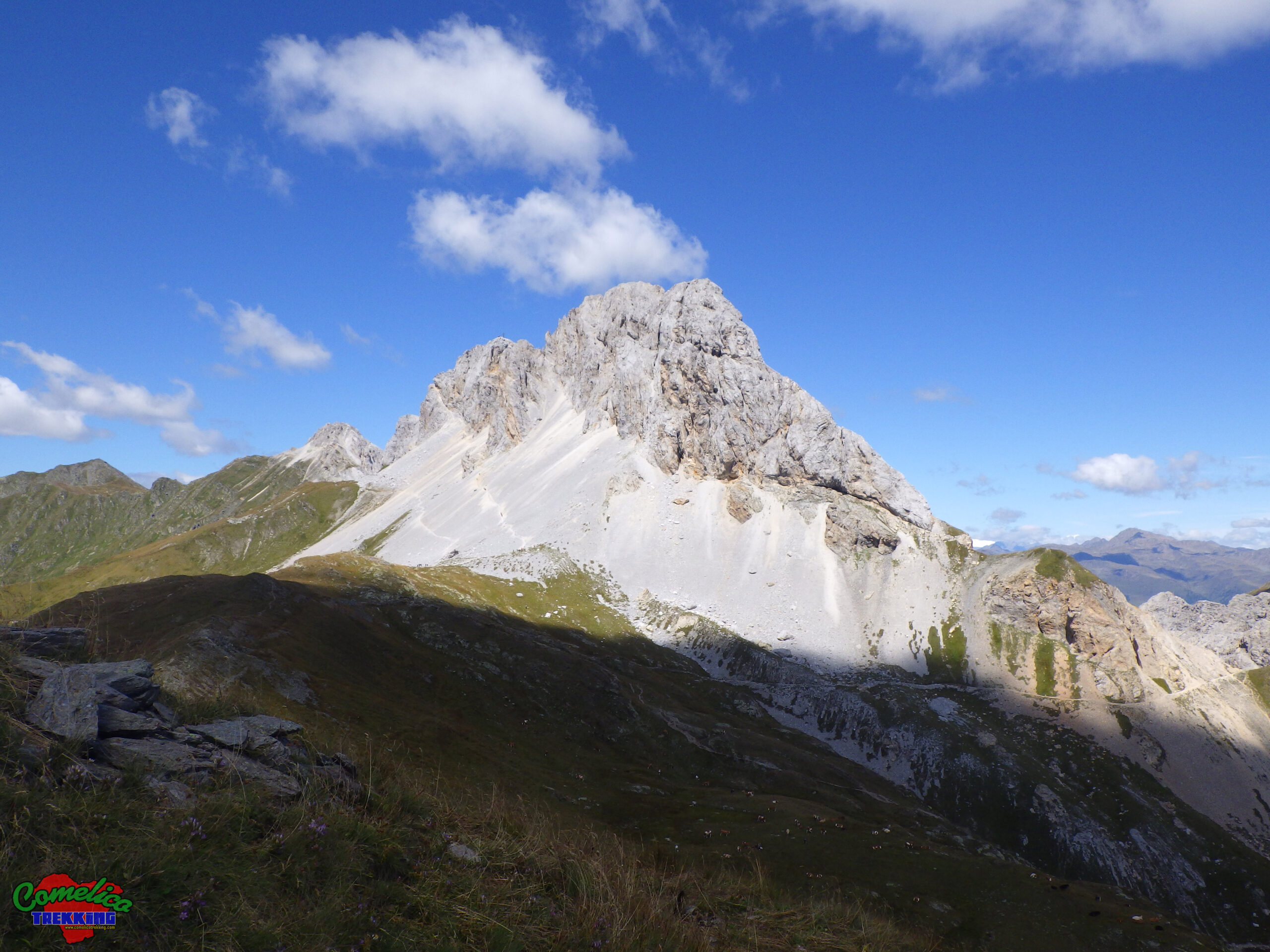
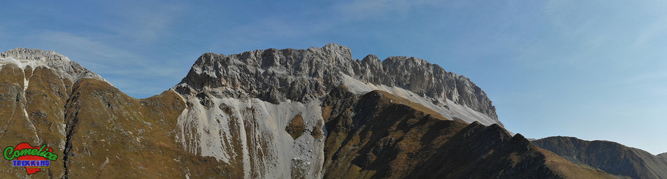
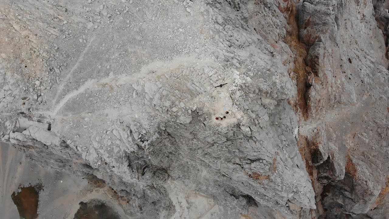
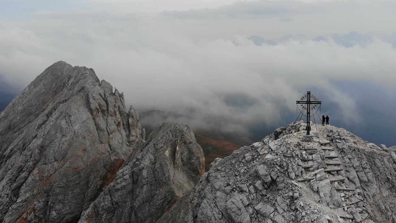
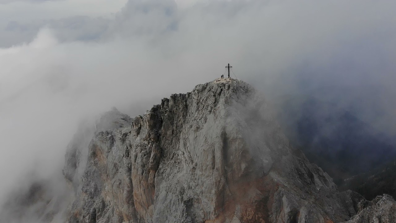
.the PeaksMonte Cavallino with its splendid white, reaches an altitude of 2689 m a.s.l. It is richly composed of marble rock which gives it its characteristic white colour. It stands on the Italian-Austrian border line dividing Austria to the North and Italy to the South. The East side, after the wideForcella Cavallino, continues with thePitturina and its crestwhile towards the West it borders closely with Monte Cavallatto through theForcella Pala dei Ciuzes. The summit can be reached by crossing a large ledge equipped with a metal rope, a path that takes the name of Frendship’s Way in memory of the clashes that took place in the area during the First World War and invites us to propose union and friendship among all the peoples of the earth.
.the ValleysThe southern side of Monte Cavallino overlooks theVal Grandaon its Eastern side and the Costa di Rigoieto /Pala dei Ciuzeson the remaining Western side. More generally on the GreatVal Digon, which it is necessary to climb up to the top to admire the majesty of the mountain up close.
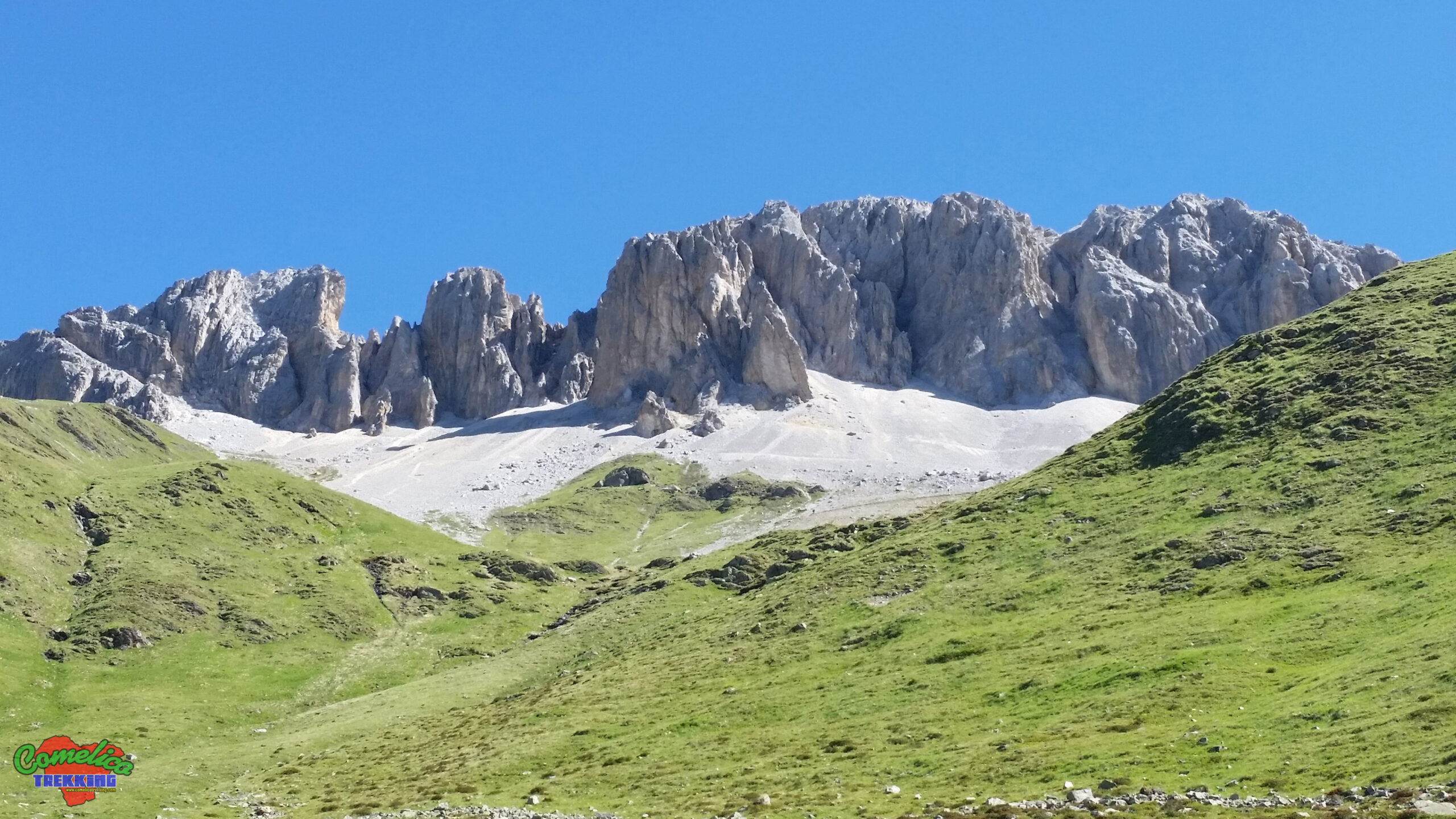
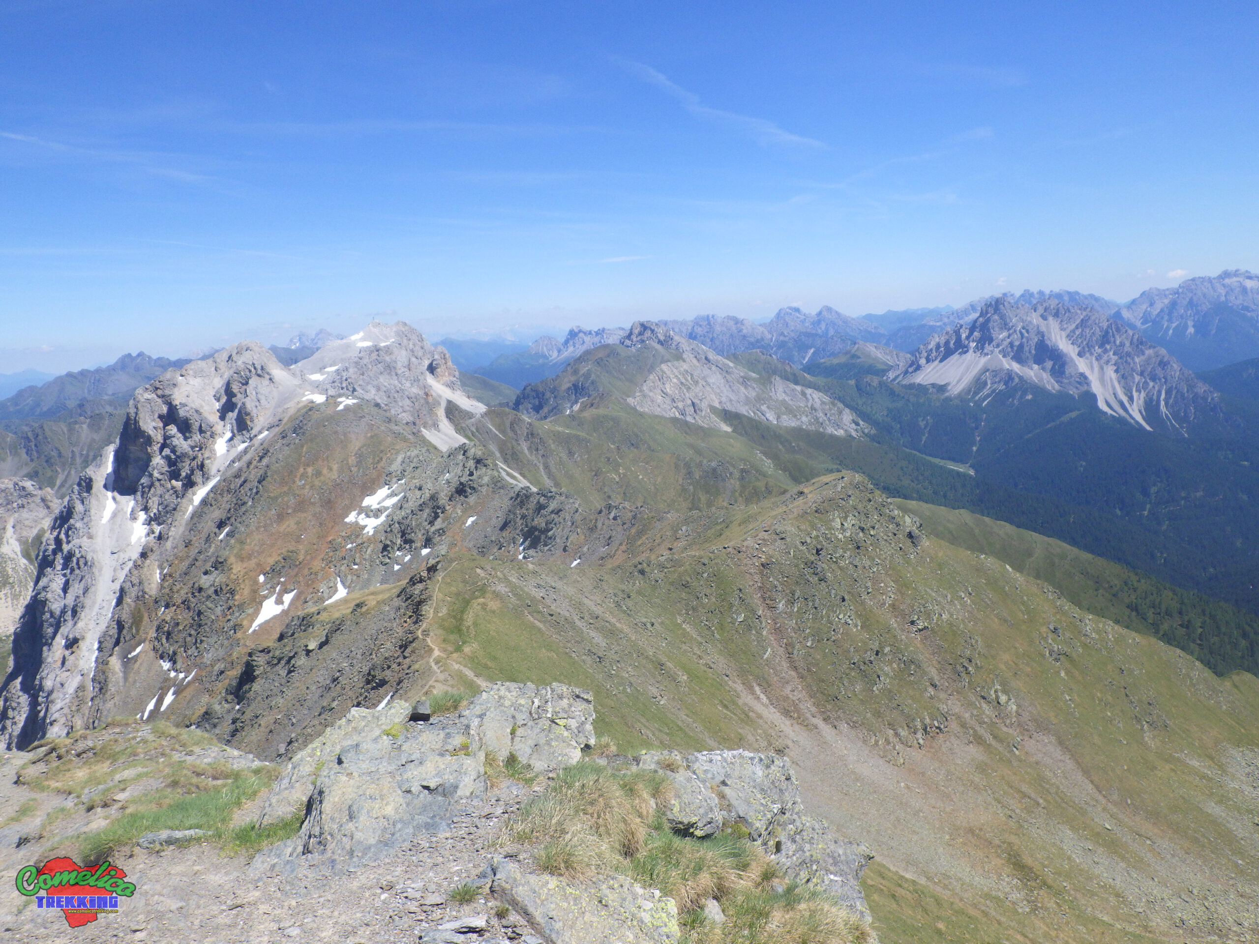
.the RiversThe Digon Torrent flows at the foot of Monte Cavallino and all the peaks of the West Border Line ofComelico. It descends South towards the Piave River drawing the shapes of the block ofMonte Spina, wedged between the state border and the Central Group. The Rio Montanelle is born from the white scree of the mountain, and descends along the Val Granda carrying the precious water towards the Digon stream. Rio Fedon also originates along the scree of Cavallino but flows on the Western side along the Costa di Rigoieto.
Political Borders
Monte Cavallino rises in the municipal territory ofComelico Superiore. The North side overlooks the Austrian municipality of Obertilliach and the South side overlooks Italy. The Fork Cavallino, once heavily fortified during the First World War, is a convenient passage for crossing the state border.
The Approach
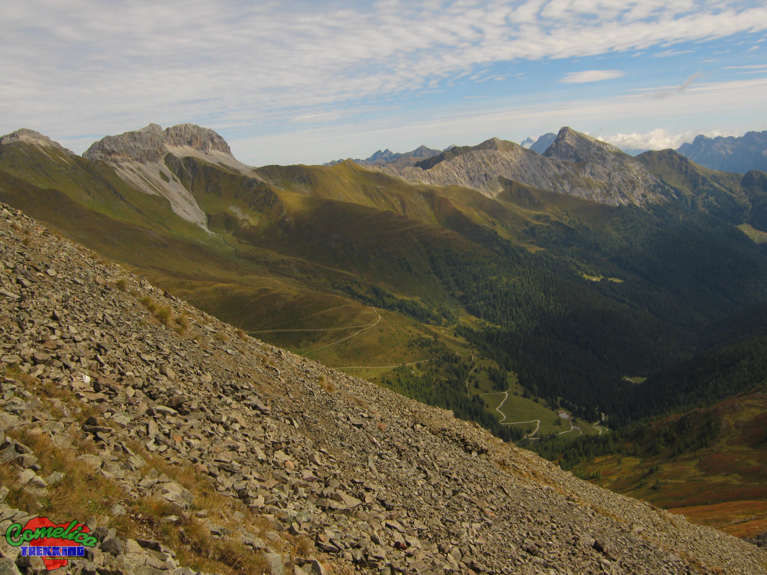
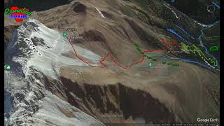
.from Val GrandaThe normal route to Monte Cavallino is undertaken starting from the locality of Pian dli Tabeli, reached by car going up theVal Digonfrom Sega Digon. We go up the forest road towardsMalga Pian Formaggioand after having passed the wood we begin to go up the Val Granda up to the Forcella Cavallino.
.from Costa di RigoiettoAlternatively we can go through the Costa di Rigoietto or as an alternative climb after having already traveled the Normal Way or during the descent. Go past Pian dli Tabeli and continue up toMalga Silvella. Leave the car near the structure and climb theSilvellapastures along an easy forest road up to the crossroads forMalga Rigoietofrom where the ascent path begins on the slopes of Mount.
.from West WayIn addition to the equipped Ledge, there is an ascent route on the Western side of Monte Cavallino which starts at theForcella Pala dei Ciuzesand joins up with the Normal Way at the top of the Mount. Simple path equipped with metal ropes for additional safety.
The Climb
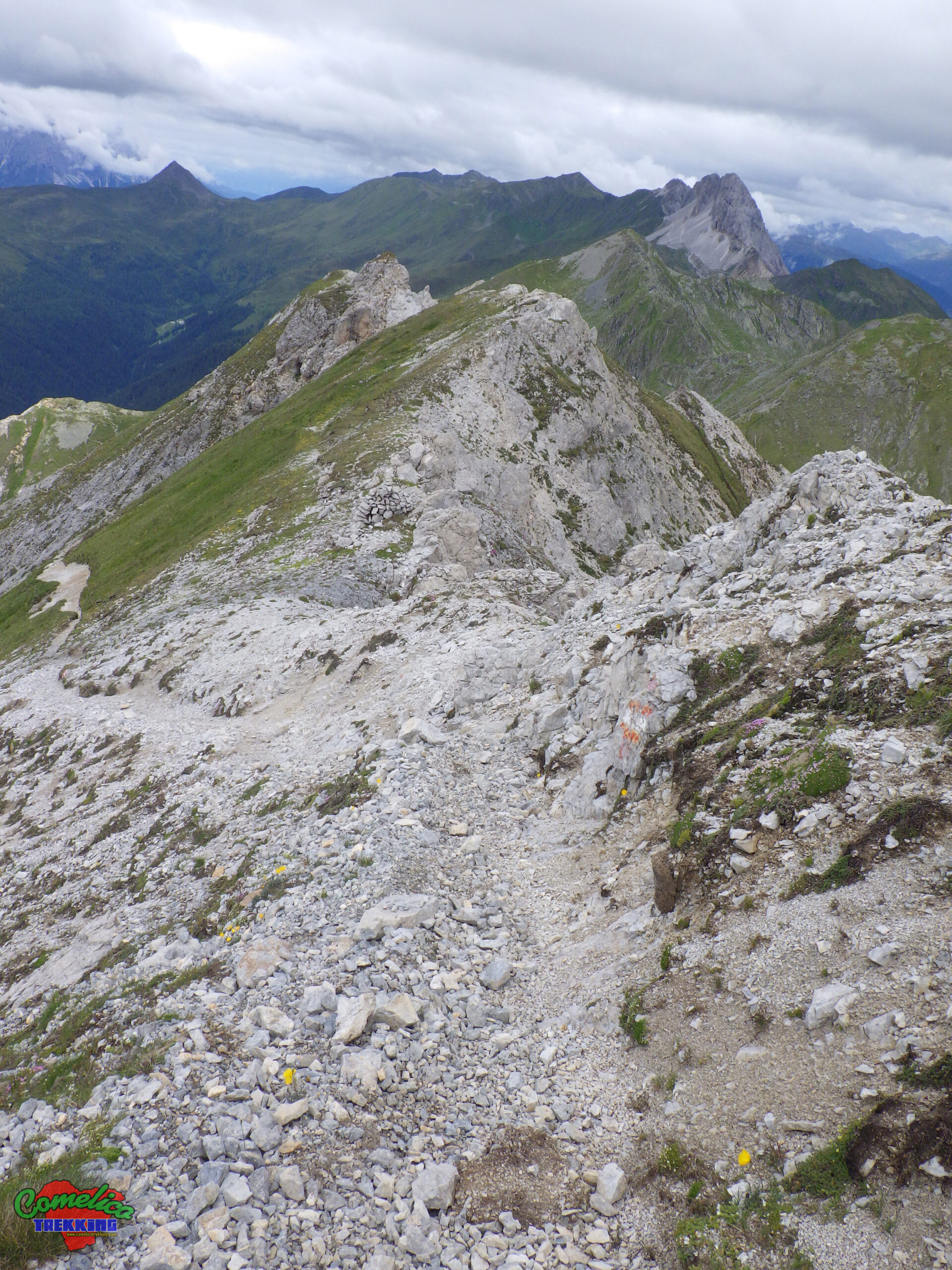
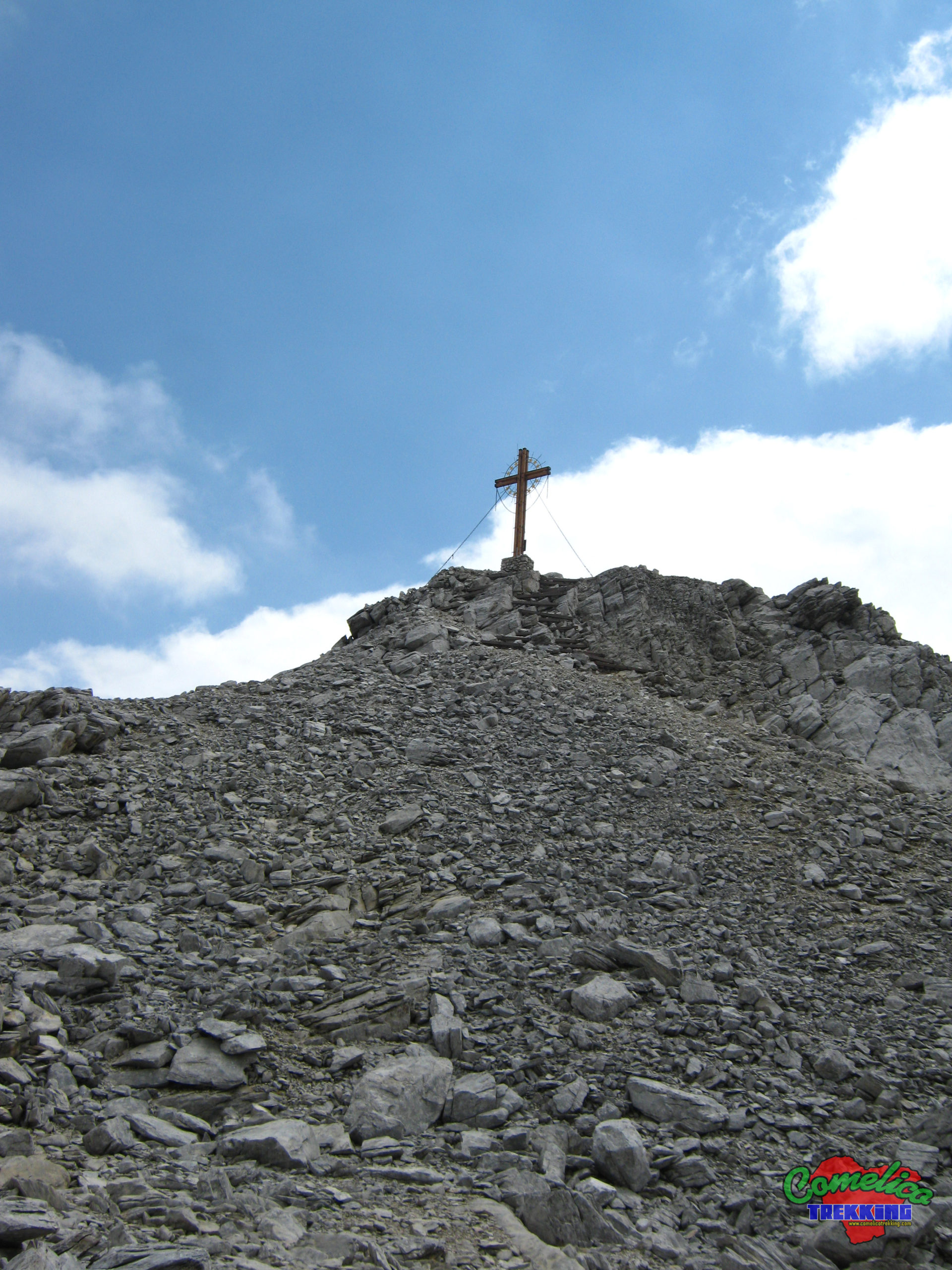
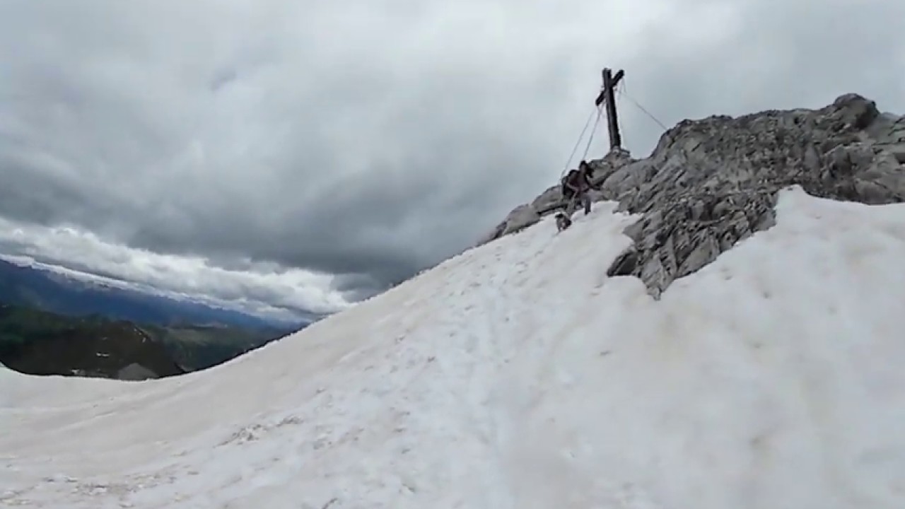
Climbing to the top ofMonte Cavallinois quite simple using the normal route along the path of friendship. FromForcella Cavallino, cross the shining scree to the left up to a wide ledge equipped with a metal rope and steps to facilitate the ascent. Once the rag is finished, you come out on the ridge 5 minutes from the large Top.

- 1
- 2
- 3
- 4
- 5