
Longerin Cima Sud from S.la of The Pradetti (CAI-165-CSTM)
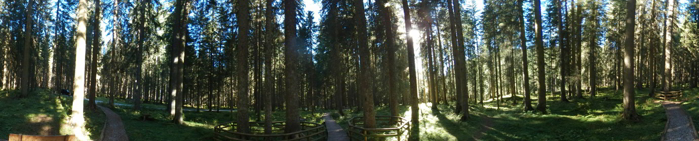
.165We begin our climb from theS.la dei Pradetti, to whom we came from M.Zovo, or fromF.la Zovovia forestal street with CAI-154 signpost. On the hairpin bend at the share of 1757 m a.s.l. We leave the road to gravel and take the path on the left, which enters a fir forest along the ridge of theColle dei Pradetti. You go up to the sweetly up to about 1820 m a.s.l., where we begin to climb along theM.S.Daniele; Here you exit the woods and the slope is felt more. The track is well marked and rises on the north side of the M.San Daniele, under us there is the Valle di Giao Storto and theC.de dei Longerinstand out in front. After a few hairpin bends, the meadows also leave us and we find ourselves having to climb, oriented towards the south, a steep and yielding frost. We meet a little effort to go beyond it because of its slope and frinos. After about 20 meters we are at the top ‘Under Croda’ and our way proceeds north.
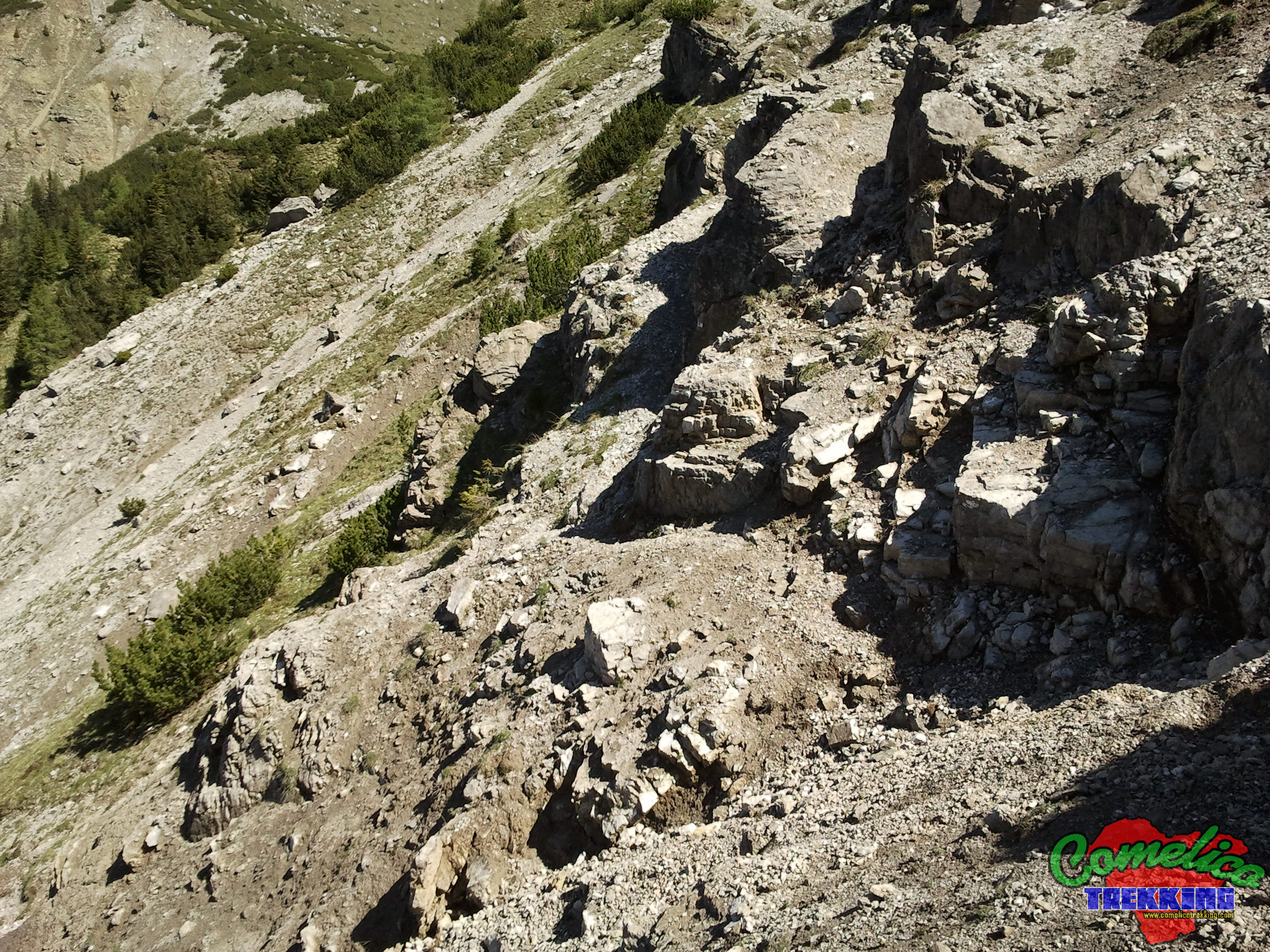
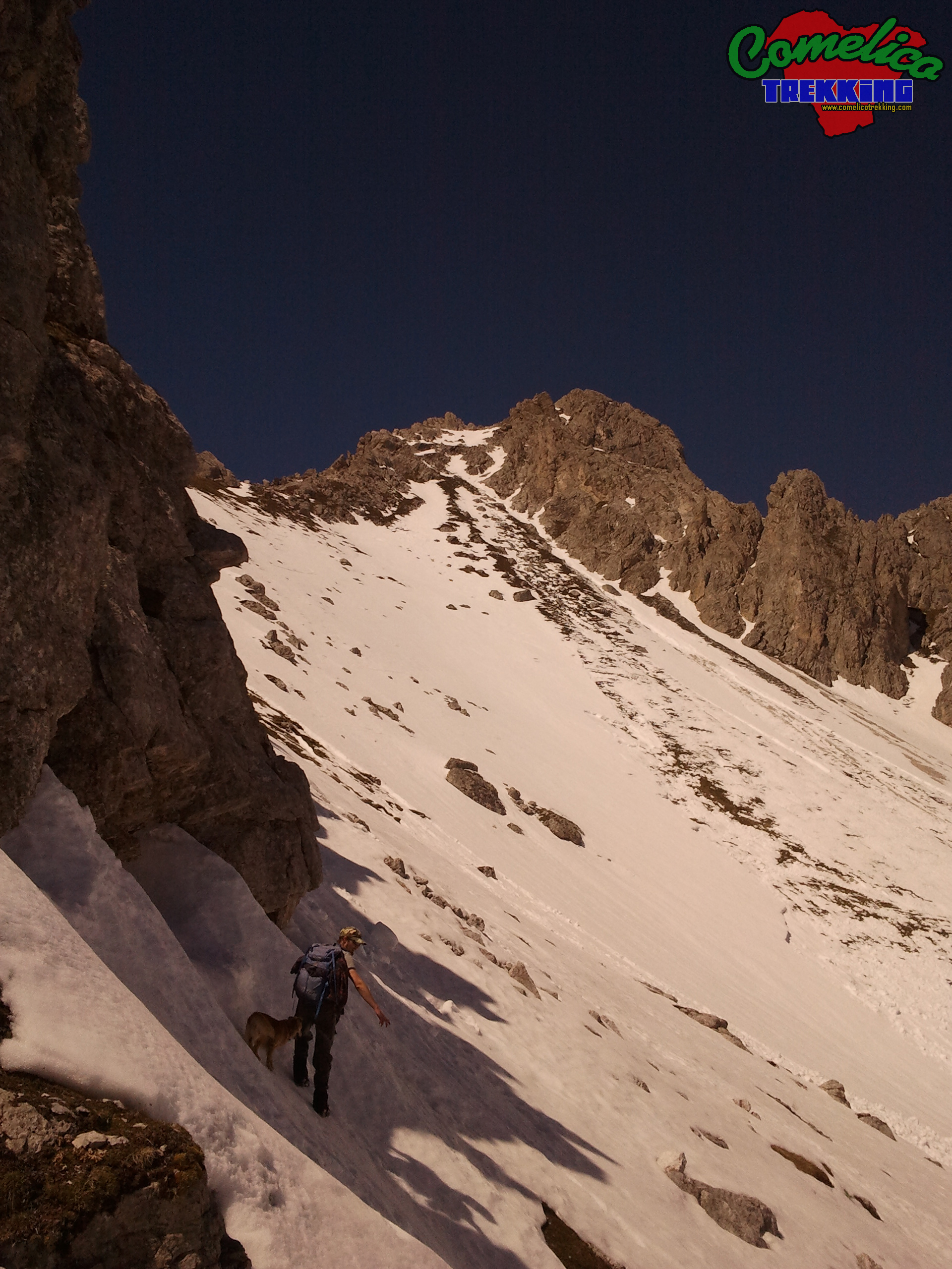
After a short stretch of crossed of other small gravels, you are at the perhaps most difficult point of the climb as the path is not clearly visible and, despite being equipped with a signpost, you cannot understand how to go on. Above us we see the Stones of the M.San Daniele and under a valley with a high slope; The ground is gravelly and this does not help the stability and, used to as we are going up, we don’t think of that every now and then we must also go down. In fact, this time it is precisely what you have to do to resume the path behind a rock placed a few meters more at the bottom. After this step, a little difficult for the less experienced, it is up to the share of 2073 m a.s.l. ofForcella San Daniele.
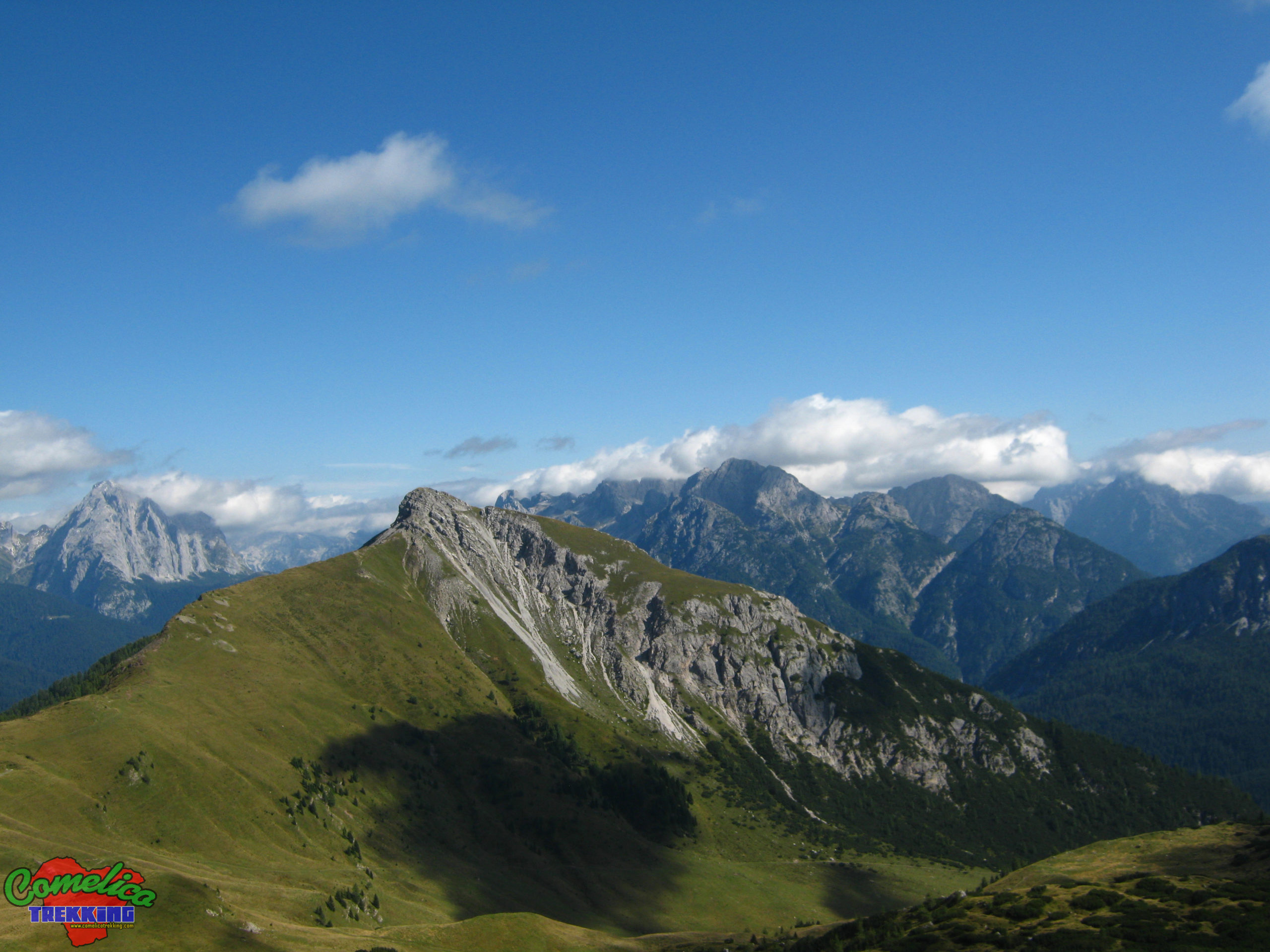
Here you can dwell for a small break and admire the panorama. In Front of Us:Monte Zovo, TheCol Rossonand Behind the Whole Group of Popera.
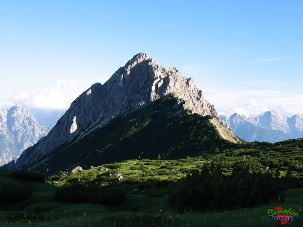
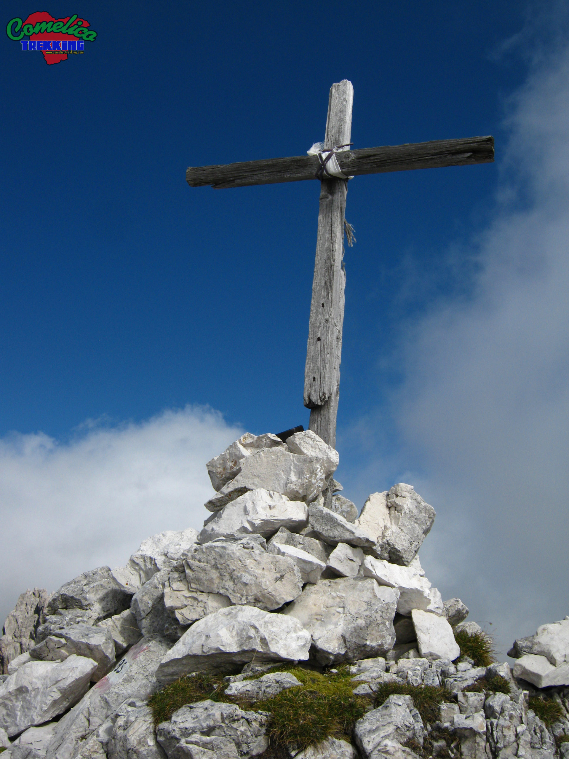
.CSTMThis section of the path has no CAI signs, has stone cairns and is not particularly difficult. It takes us to cross the entire upper part ofVal Vissadaalong the border with the municipality ofS. Nicolo’. Now the real climb to the C.de of Longerin begins. The first stretch of the path runs along the edge of the border, we find ourselves from time to time among the pines and from time to time forced to descend into the landslide part in order to cross the bush that has become too dense. We climb gently northwards until we meet the first sharp rocks of the Longerin, then we go around them to the right, leaving the landslide part, and we enter the amphitheater of the mountain. Now the climb begins to ‘pull’, the slope is felt and the track is not clearly visible; We proceed mainly through meadows but also through some stretches of gravel. Climb in a zigzag pattern to make it less effortless, skirting the first tower bypassed earlier. Once we reach the top we gain again the panoramic view towards the northwest, the worst is over and we just have to reach the top by rocks following the stone cairns. From here the summit cross is already visible and in a few minutes of effort we reached theCima Sud dei Longerin.
.ConsiderazionsThis route has a positive elevation of 783 m, a distance of 4 km and a walking time of 4h. The route on the path marked CAI-165 from M.Zovo to Cima Sud dei Longerin offers an excellent view of the area. The section without trail signs must be undertaken with some experience although it is not dangerous. The descent can be made along the CAI-195 trail sign first and thenCAI-169in the direction F.la Zovo. This allows us to make a ring that is certainly very pleasant from a landscape point of view because it allows us to admire all the valleys that surround the Val Vissada, and precisely: theVal Digon, theVal di Londoand theVal Visdende. The difficulty is EE due to the barely visible path along the climb to the top and also in the passage crossing the screes of M. San Daniele.

.waterThe absence of veins of water characterizes the entire journey, therefore you will need to stock up before leaving.

.bikeThe whole journey cannot be covered by bicycle.

.dogThe whole excursion can be accompanied by a dog or more, as long as the animal is used to the altitude and knows how to behave on high mountain paths in the presence of rolling stones. Alternatively, you must proceed with a leash. Generally there are no passages that can put four-legged animals in difficulty.

.sheltersThe area crossed by the paths in question does not present any shelter, but nearby they are present. We have the Bivouac of Vissada and the Grotta-Fortino in F.la Longerin.