
Monte Terza Media
The Geographical Characteristics
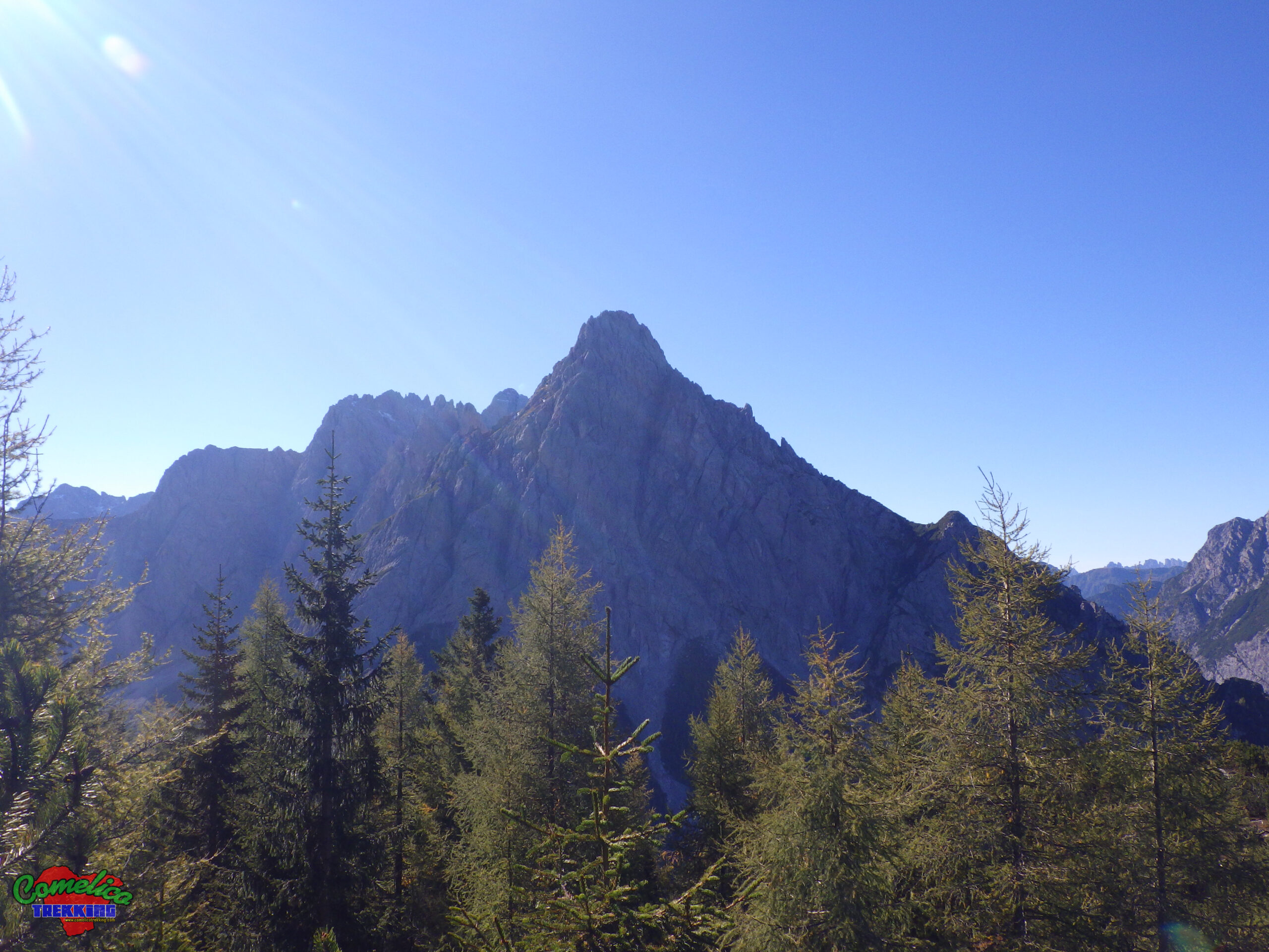
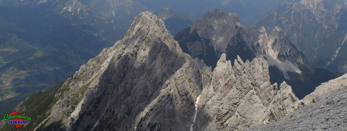
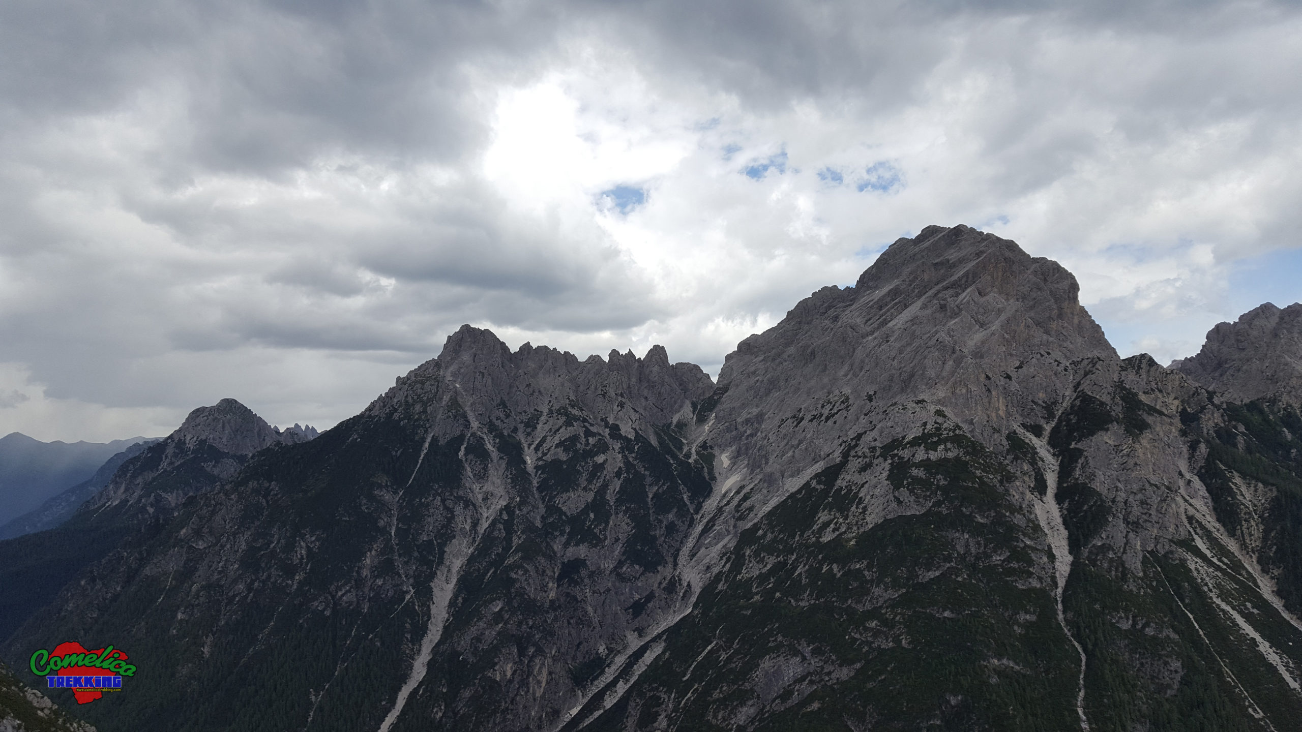
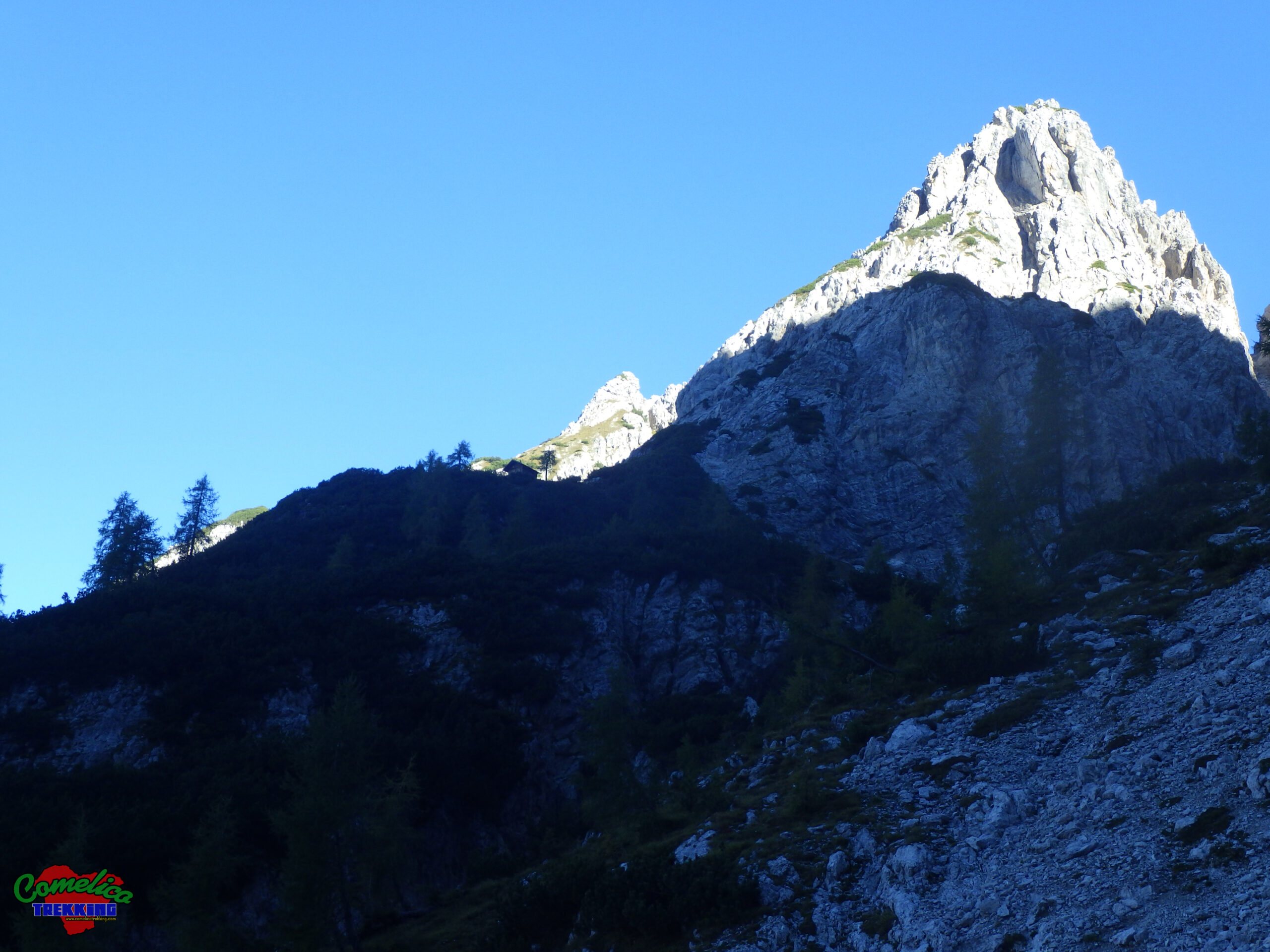
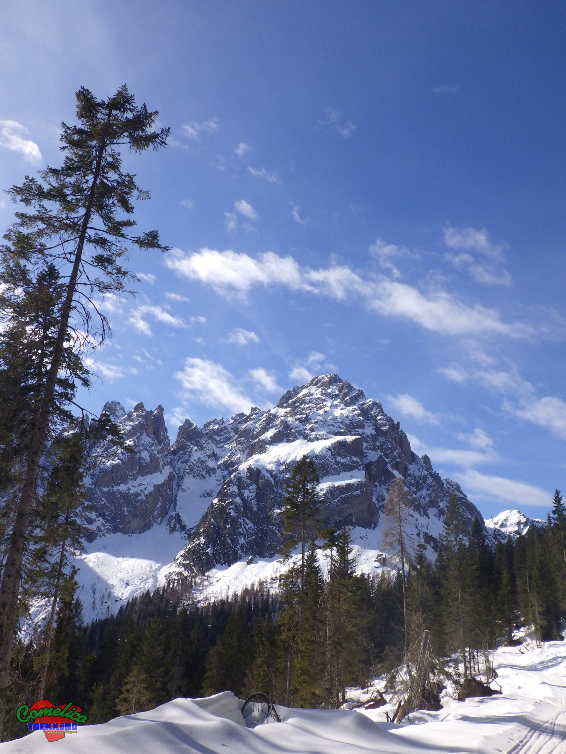
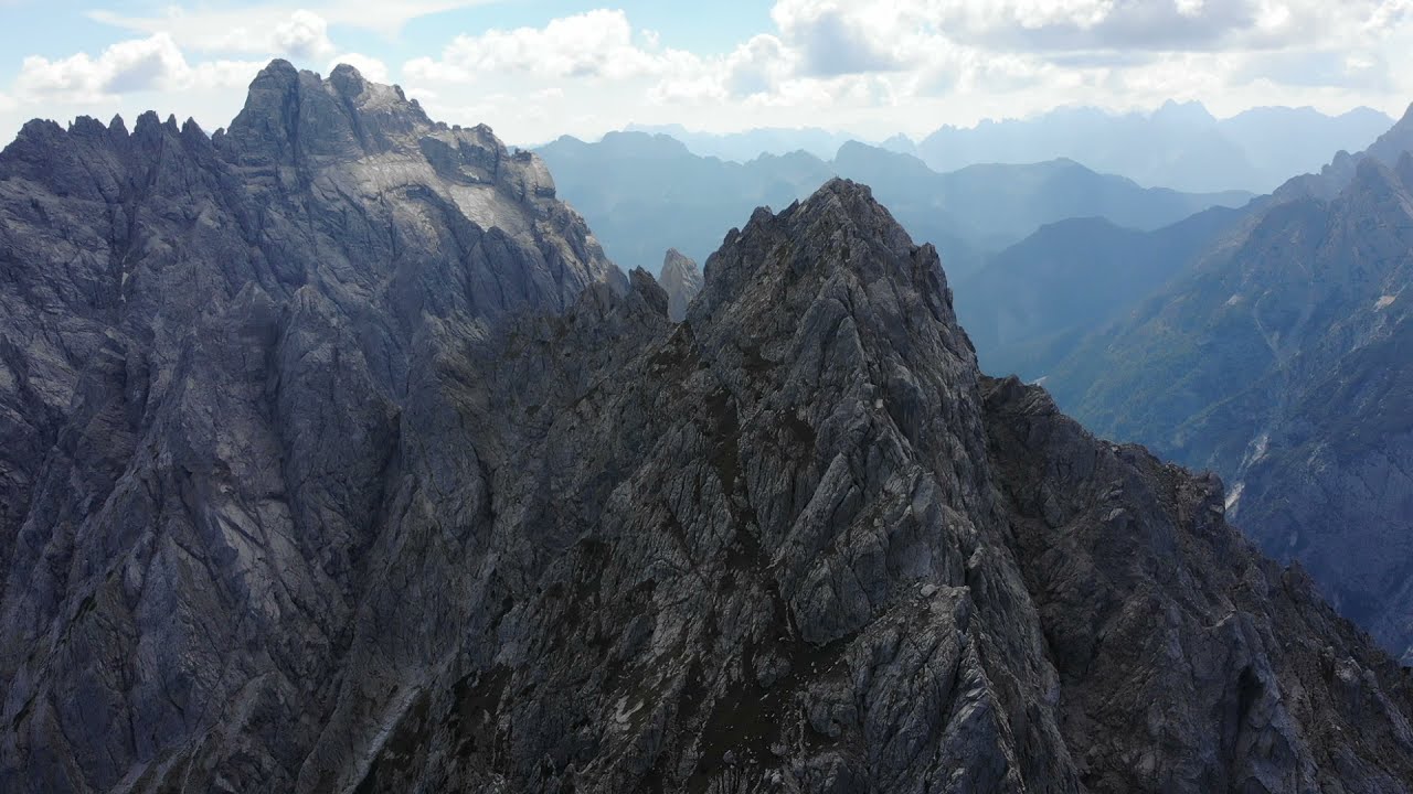
.the Summits Monte Terza Media and its two sistersTerza PiccolaandTerza Grandemake up the mountain group of the Terze. The Terza Media rises between the other two, attaching itself to the South to the Terza Grande with a wild jagged ridge. The more accessible North Side, on the other hand, thins out in the pastures of thePasso della Digola, where it meets its little sister Terza Piccola. The Cima del Monte Terza Media reaches 2455 m a.s.l. and can be reached by paying attention in some exposed sections equipped with metal ropes.
.the Valleys Since the mountain is wedged with the other two peaks of the group in a northerly and southerly direction, it borders to the west with the Brentoni Group, forming theVal Frison, and precisely borders withM. Cornon, which ends its rocks vertically choking the Val Frison in the stretch where there are the characteristic hairpin bends that climb the slopes of Monte Terza Grande. At this point theVal delle Naierises Eastwards; narrow valley that runs between Monte Terza Media and Monte Terza Grande. On the East side, the mountain overlooks the territory of Sappada with the luxuriant forest of the Digola.
.the RiversOn the North side of the mountain the water is present in the thaw and as the season warms it disappears in swampy patches. To the southwest, on the other hand, the Rio delle Naie flows almost all year round thanks to the slabs of the Terza Grande that collect the water, channeling it and accompanying the precious resource down to the Frison stream.
Political borders
The line that crosses the Terza Media, passing through the top of Monte Terza Grande and the Digola Pass, has recently formed the border between the Veneto region and Friuli Venezia Giulia. In particular, it separates the municipal territories ofSanto Stefano di Cadoreto the west andSappadato the east.
The approach
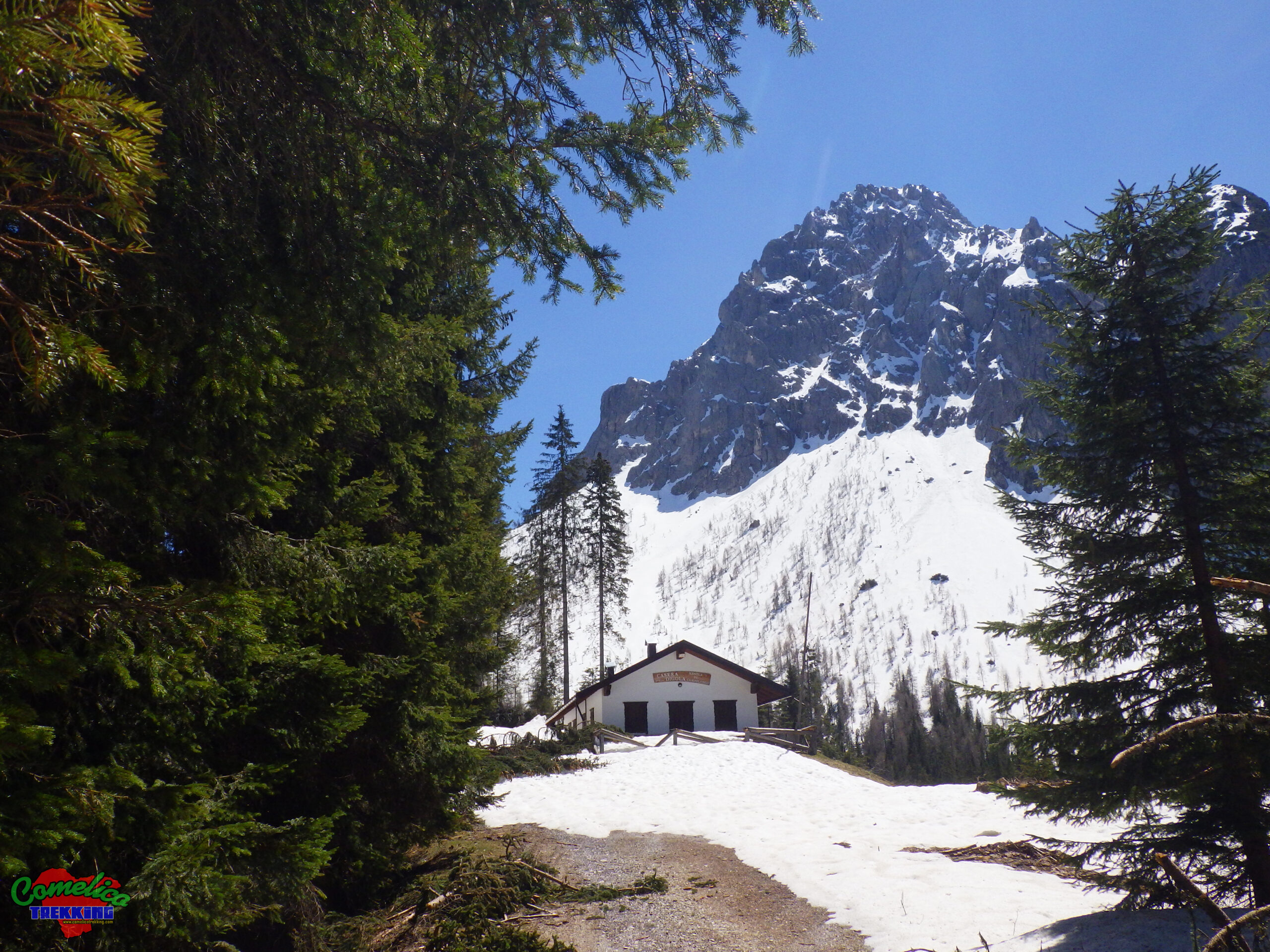
.from CampolongoApproaching the mountain from its North-West side we can start on foot just outside the town of Campolongo, in the locality of Pomare’. Climb along a wooded ridge to the edge of the Paschere forest along the CAI-313 trail sign until you reach theCasera della Digolaand then, just before thePasso della Digola, you begin the climb to the mountain proper. Alternatively, you can opt to arrive by car up to the Digola Pass on a narrow forest cart track with CAI-312 signpost, which starts from the Regional Road SR-365 just out of the Bosco di Salamora. In this case, you must have a permit to transit on forest roads.
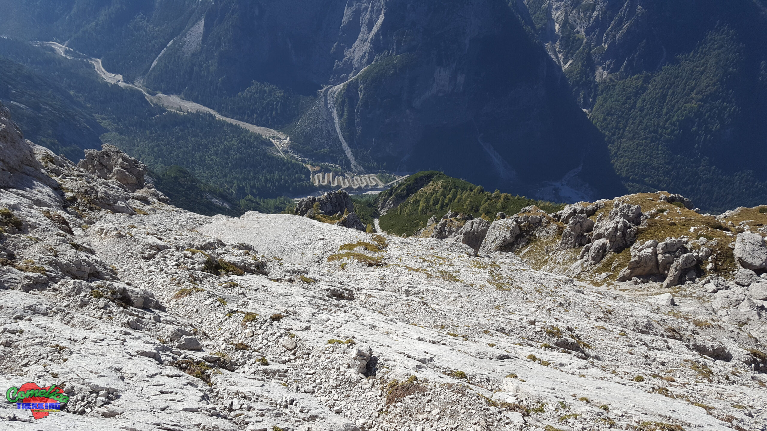
.from Val delle NaieThe approach along theVal delle Naieis by far the most adventurous given the presence of numerous sections equipped with metal rope and metal steps. It starts from the town of Campolongo by car along theVal Frisonalong thenot always openRegional Road SR-365. We pass the climbing wall ofM. Cornonand follow the suggestive hairpin bends of the Marendera, until we reach the plateau where theRifugio Volontari Alpiniis located. Suggestive sunken stretch between the mountains where there are several military bunkers dating back to the Second World War. Near the refuge, take the path with CAI-310 trail sign that goes up the Val delle Naie to the Cadin delle Naie where we meet theFranco Marta Bivouac. From here you go around the mountain on its West side in a Northerly direction. Keeping almost always the same altitude, you cross several rocky channels sometimes helped by metal ropes. Before descending back to the Passo della Digola, turn east and begin the ascent to the summit.
.from SappadaWe can also reach the Digola Pass from the town of Sappada. We start in Borgata Lerpa, cross the Piave River and go up the Bosco della Digola along a forest road equipped with CAI-313 trail signs. On this side the approach is slightly longer but less steep, a valid winter alternative.
.from MareLately even the North side of the group can be climbed beyond Monte Terza Piccola. It starts from the village of Mare di San Pietro di Cadore. Leave the car in the parking lot of the square of the hamlet, cross the Piave River on the comfortable bridge. The climb along the Bosco del Paschere starts in Pradolfo; initially you take a recently built forest road that leads up to an altitude of about 1200 m s.l.m., then take a path with signs that leads to the locality of Tabia’ Ronco del Popo. From here horizontally we reach the path marked CAI-313 that climbs from Campolongo and takes us to thePasso della Digola. Along this route it is possible to visit some military stakeouts dating back to the First World War.
The climb
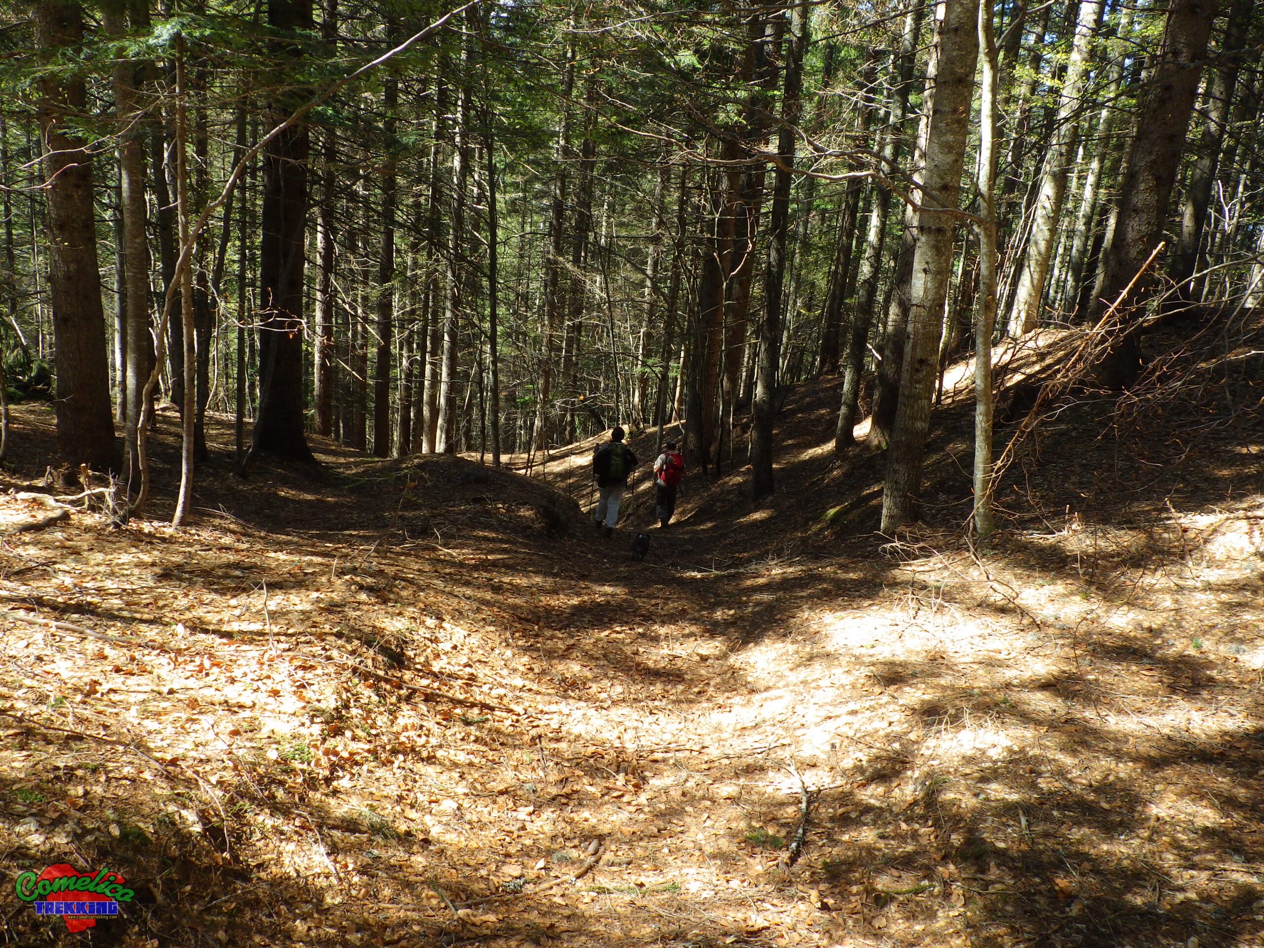
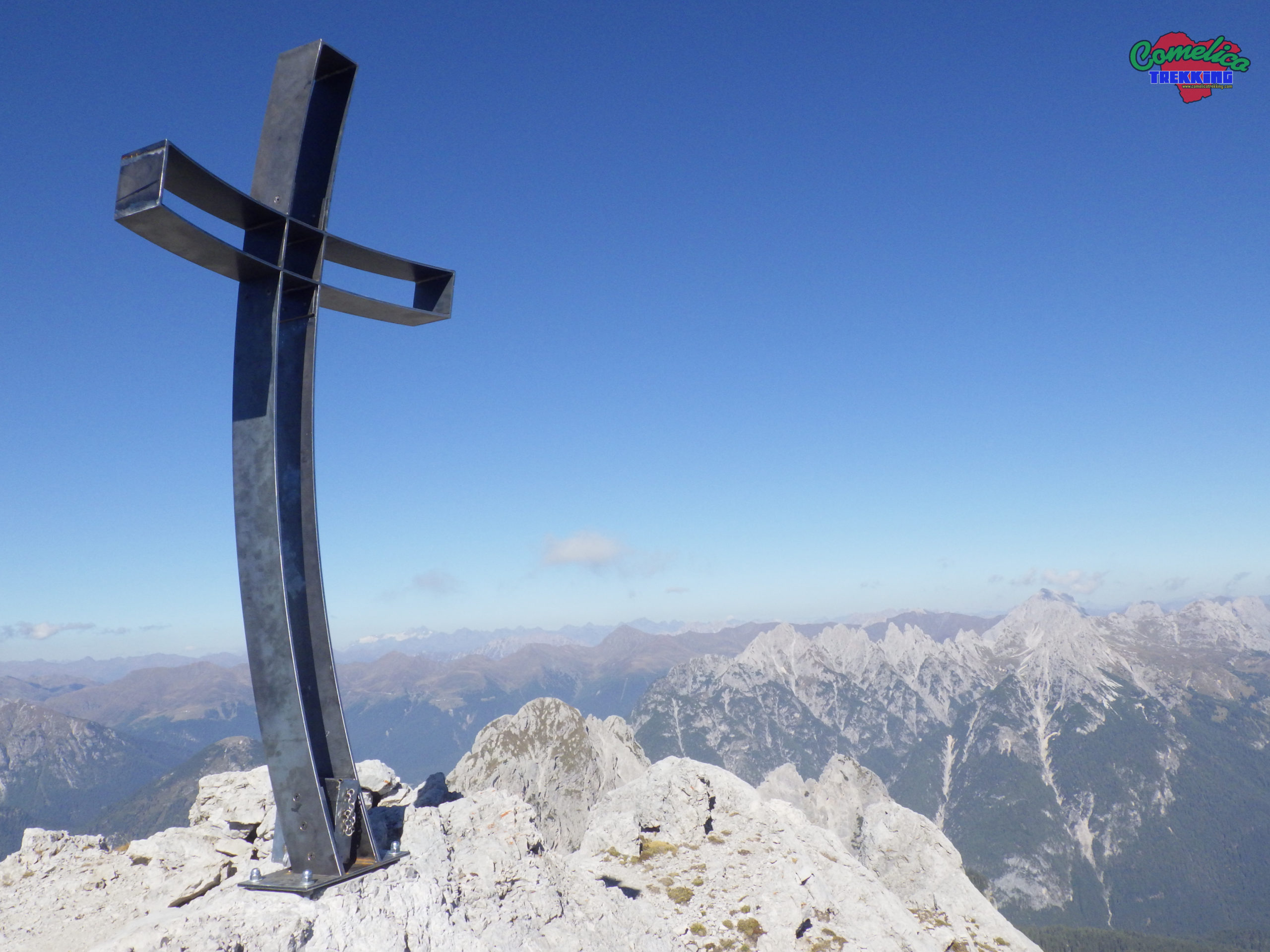
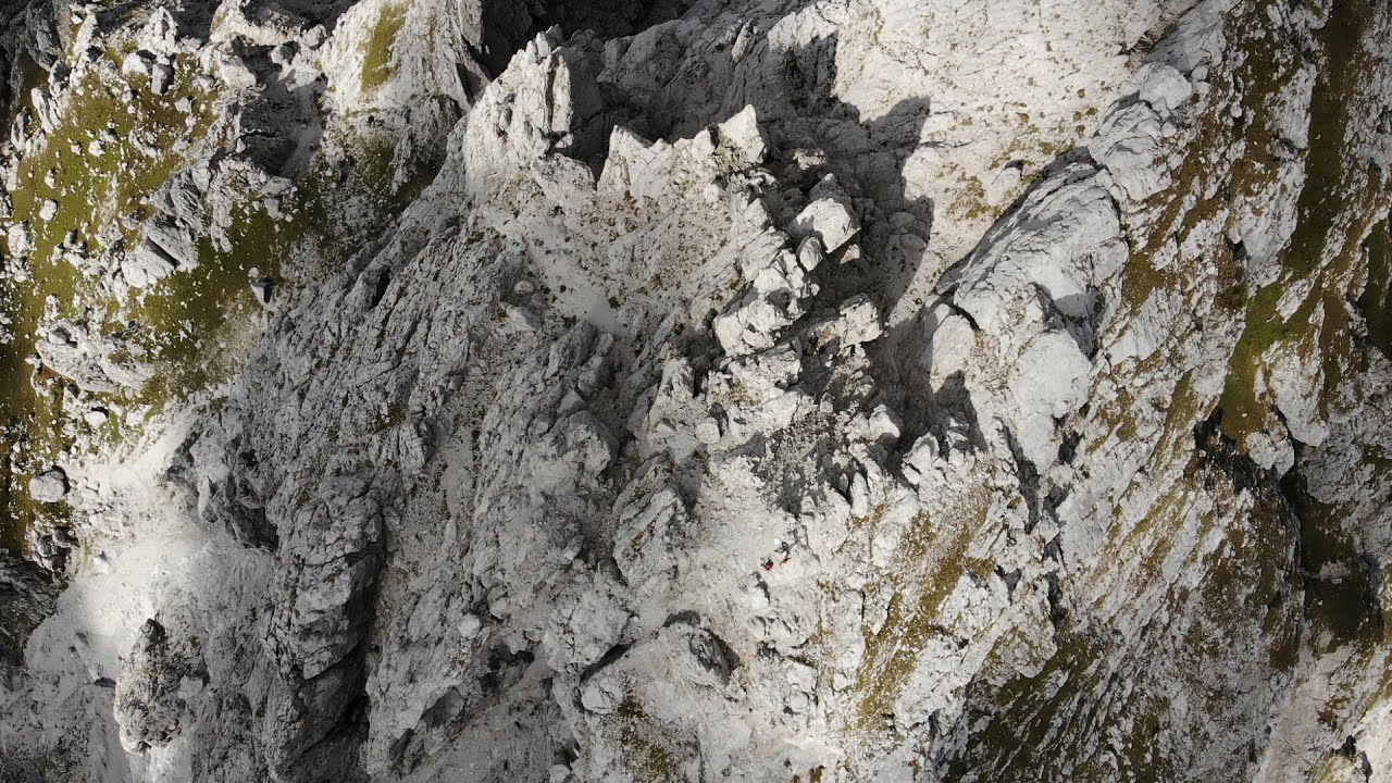
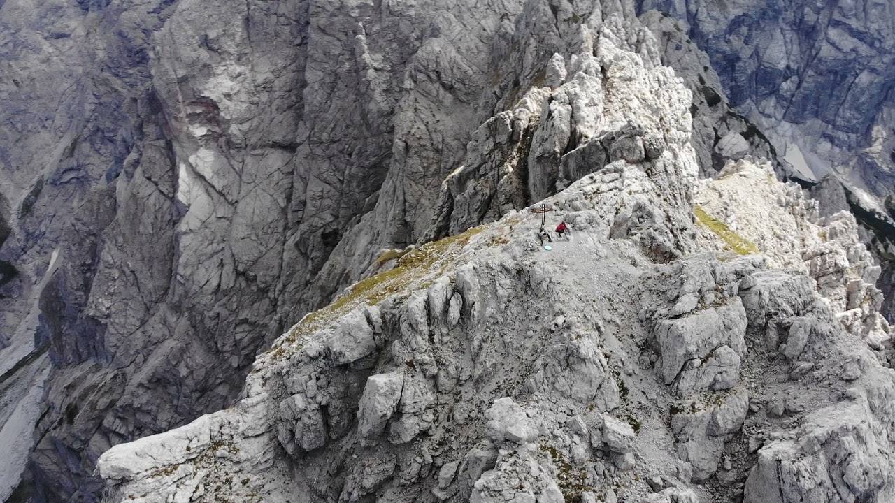
The ascent to the top ofMonte Terza Media(2455 m a.s.l.) starts from the path marked CAI-310 just before descending along the gully that leads to thePasso della Digola. Climb steeply through pines on a clearly visible track marked with red dots. Climb by deviating to the right, climbing the southern slope of the mountain, until you reach the ridge. First passing a stretch of rocks and hairpin bends, then an exposed plastron and finally a steep grassy gully. From here we face a bottleneck between two boulders that requires you to remove your backpack to pass. Finally, helped by a metal rope, we pass an exposed section of the ridge and soon we are at the top.

- 1
- 2
- 3
- 4
- 5
- 6