Monte Rinaldo
The Geographical Characteristics
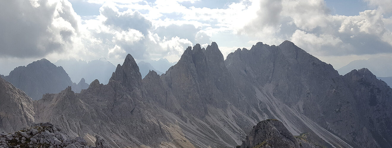
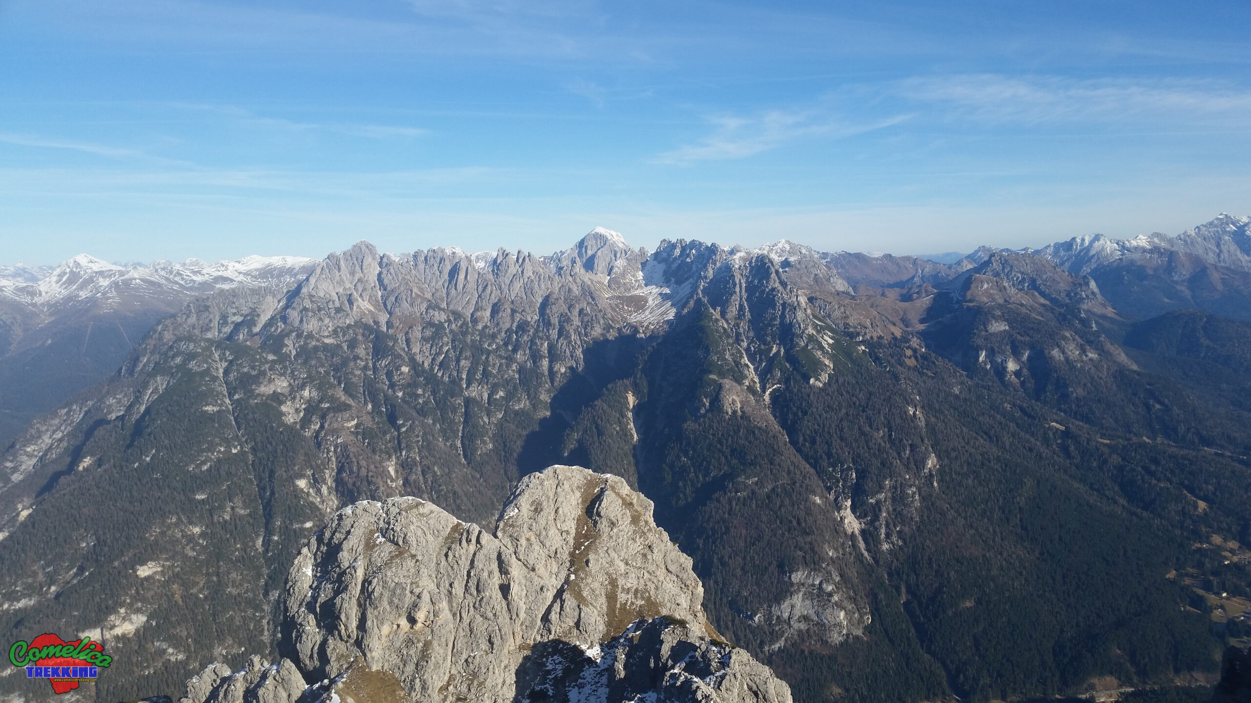
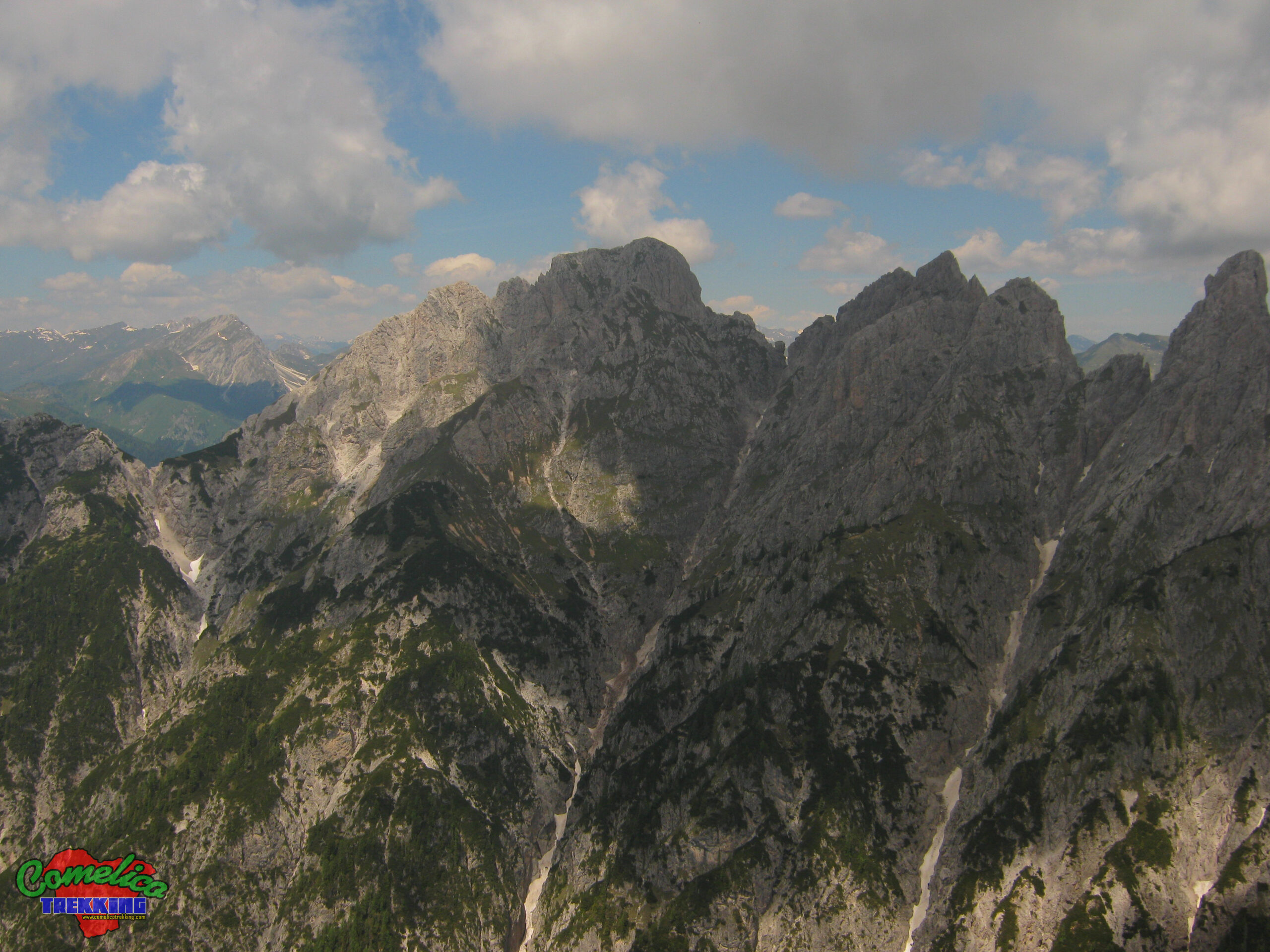
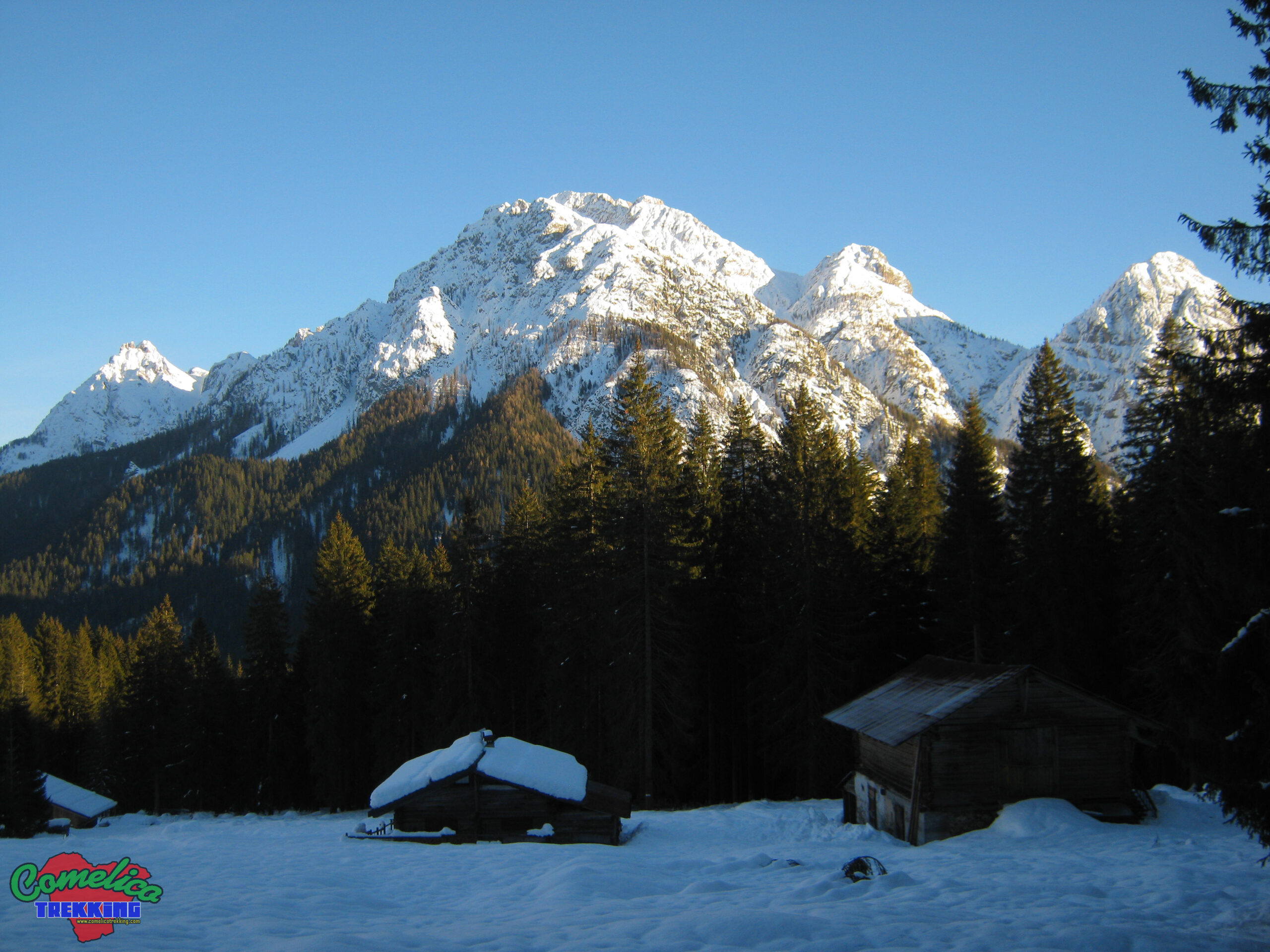
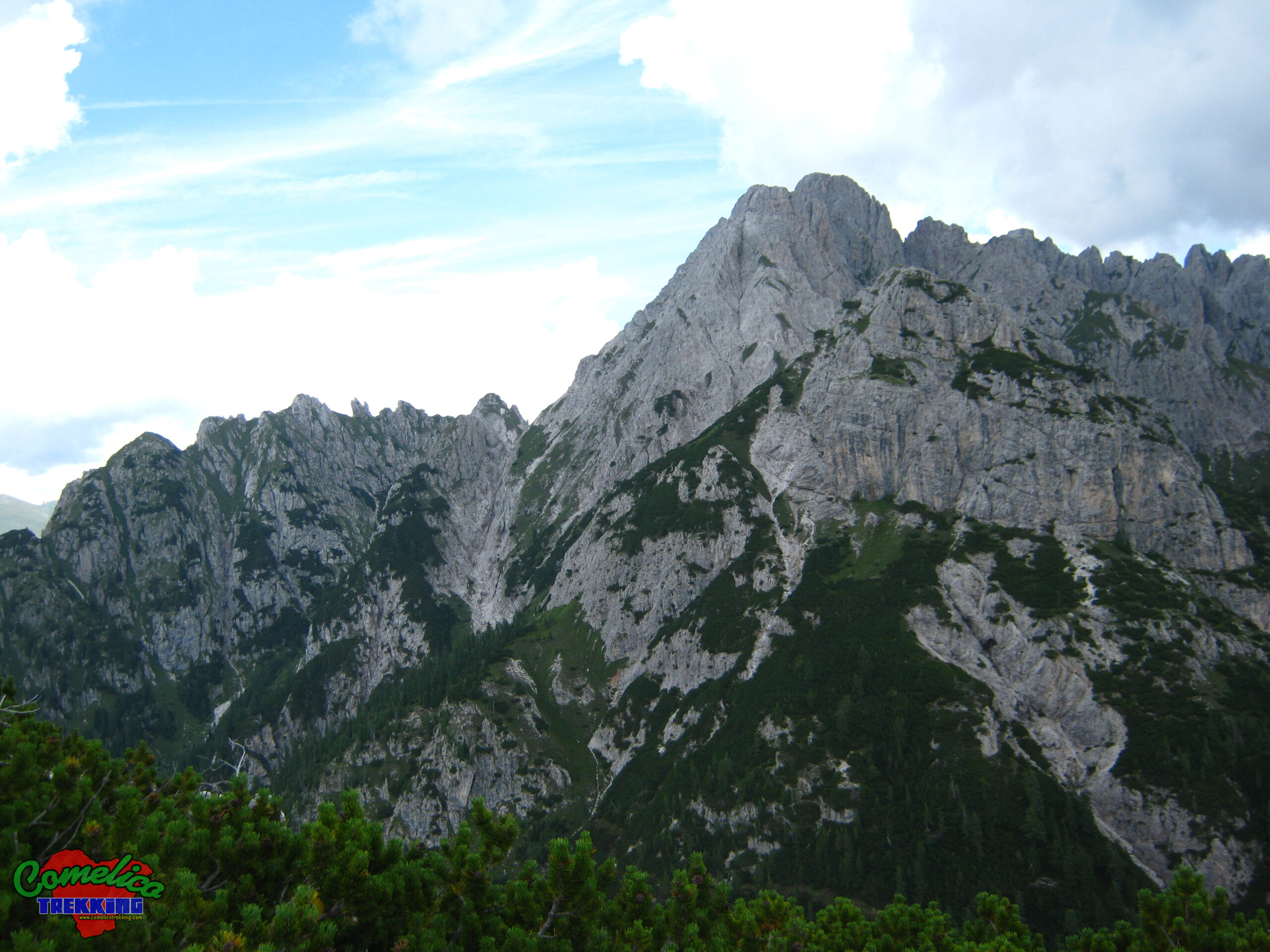
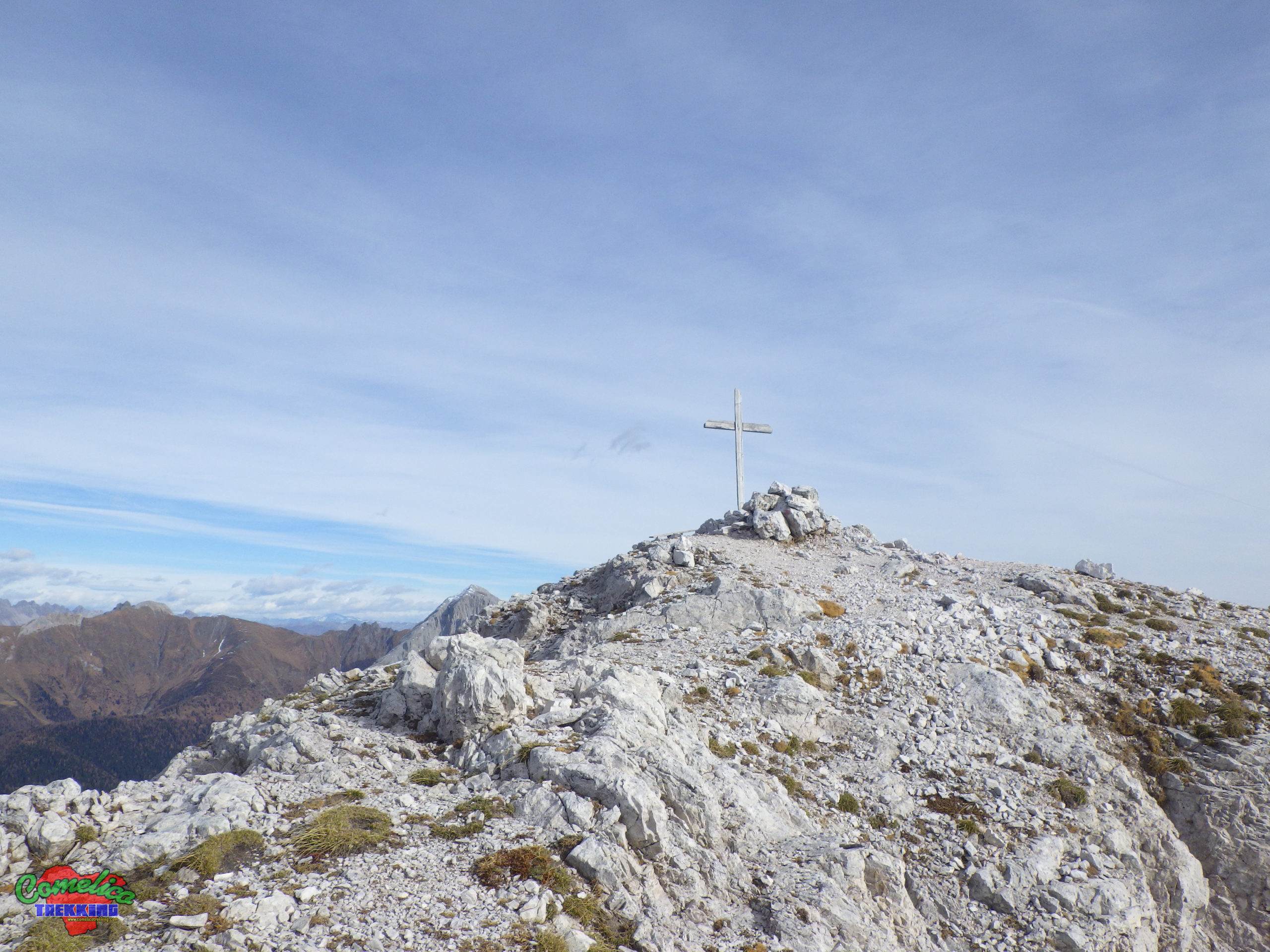
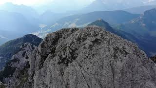
.the Peaks Monte Rinaldo is the highest peak of the Rinaldo-Ferro mountain range, reaches 2473 m a.s.l. and is clearly visible from the front as you enter Val Comelico from Cadore. The main feature of the mountain is its long ridge formed by many bell towers that crosses with that of Monte Ferro and extends amalgamating with the ridge of M. Lastroni, giving the mountain group the characteristic Y shape. The following are also part of the group minor mountains: Monte Carro, Franza, delle Caverne, del Larice and della Piana and Righile.
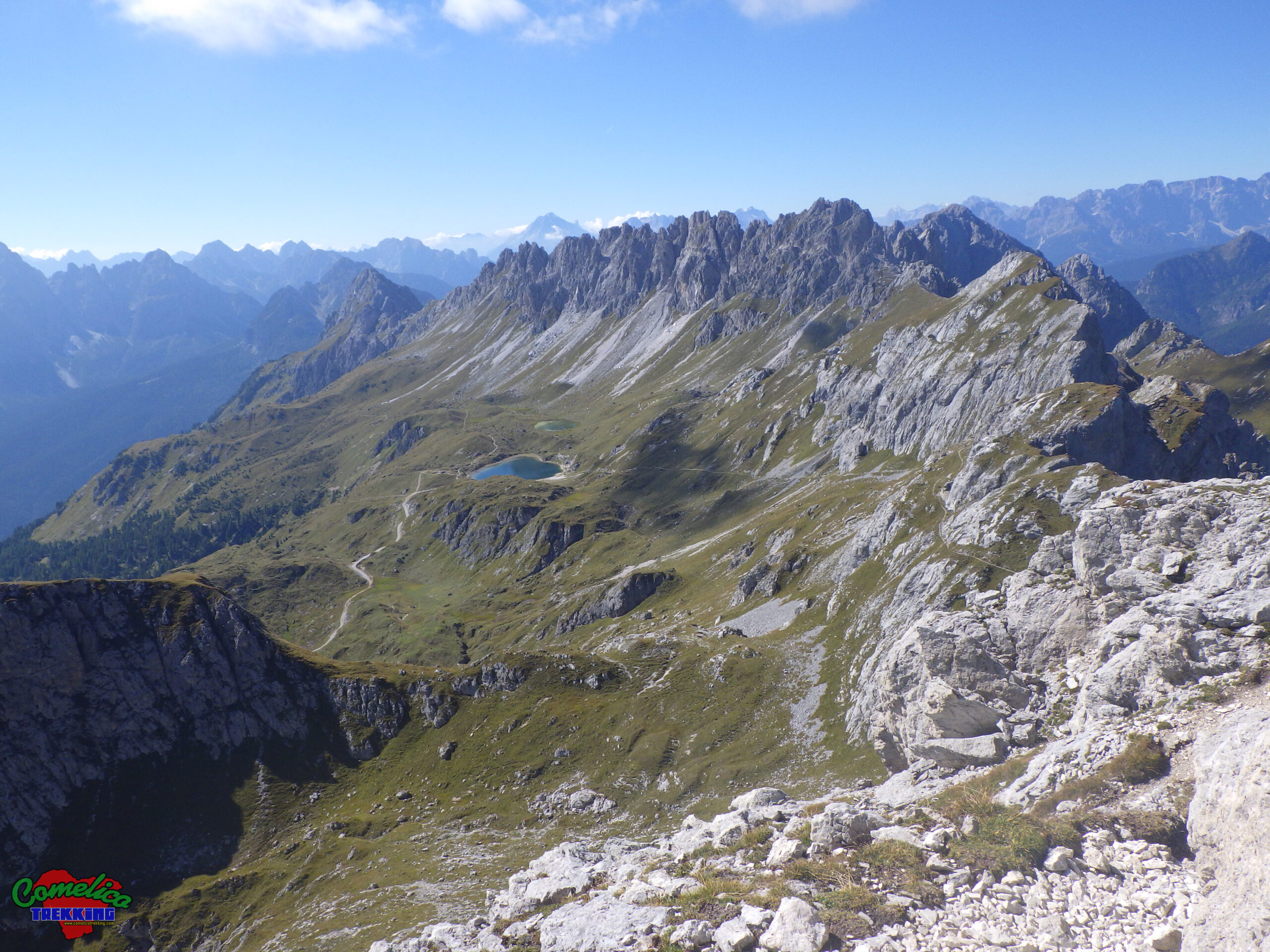
.the Valleys The mountain borders on its North side with Val Visdende, while its west side closes the access with the steep walls of Mount Carro bordering on Monte Curie’. To the East it overlooks the Val di Sesis, while the South side houses the town of Sappada. Internally, the Rinaldo-Ferro group hosts some beautiful valleys such as the Val d’Olbe, with its famous alpine lakes, the wild Val Rinaldo, rich in wild animals and solitude, and finally the characteristic Valle delle Forcellette, from which you can access the summit of Mount Rinaldo.
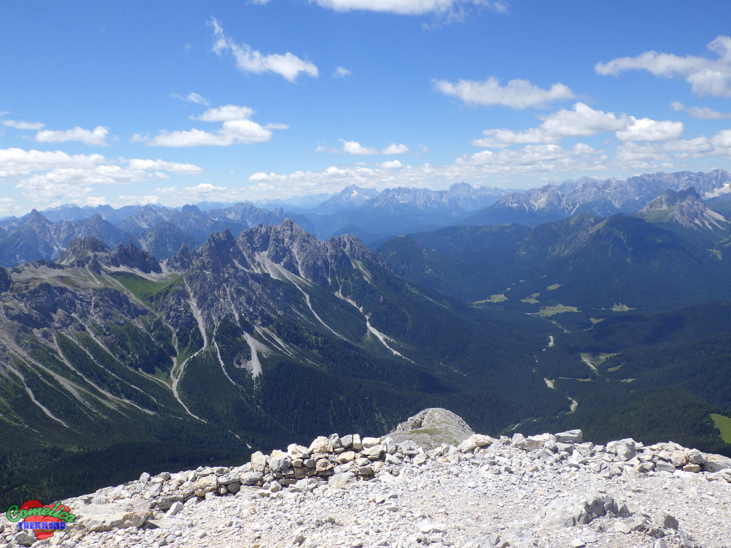
.the Rivers Mount Rinaldo surrounds itself with important waterways. From the South side the Piave river collects most of the waterways present, such as: the Rio della Miniera to the West, the Rio Fauner, Puiche, del Mulino, Lerpa, Acquatona and Rinaldo to the South. on the North side the only existing watercourse is the Giao Rosso which collects water from Monte Franza and then enters the Cordevole Torrent which crosses the entire Val Visdende.
Political borders
Monte Rinaldo stands completely in the Municipality of Santo Stefano di Cadore which, however, does not entirely embrace the whole group; it is in fact shared with the Municipality of Sappada and therefore with the Friuli Venezia Giulia Region along the Crest of Monte Ferro up to the top of Monte Lastroni.
The Approach
.from Val Visdende We can climb Mount Rinaldo starting from the locality of Cima Canale in Val Visdende, driving up the gorge formed between Monte Carro and Monte Curie’ of the Central Group. Arrived at the gates of Val Visdende we leave the car and begin the climb along the path marked CAI-130 towards the Forcella Grande.
.from Cordevole As an alternative to the normal route, you can tackle the steep climb to Monte Carro along the path marked CAI-143; upon reaching the Forcella Piccola, turn off to the Val delle Forcellette, meeting the classic route that climbs from Cima Canale. This alternative road starts leaving the car at the gravel pit that we find on the left going up towards Sappada, just out of the tunnel at the crossroads for Val Visdende. Valid itinerary that extends the trip to Monte Rinaldo by a few kilometers.
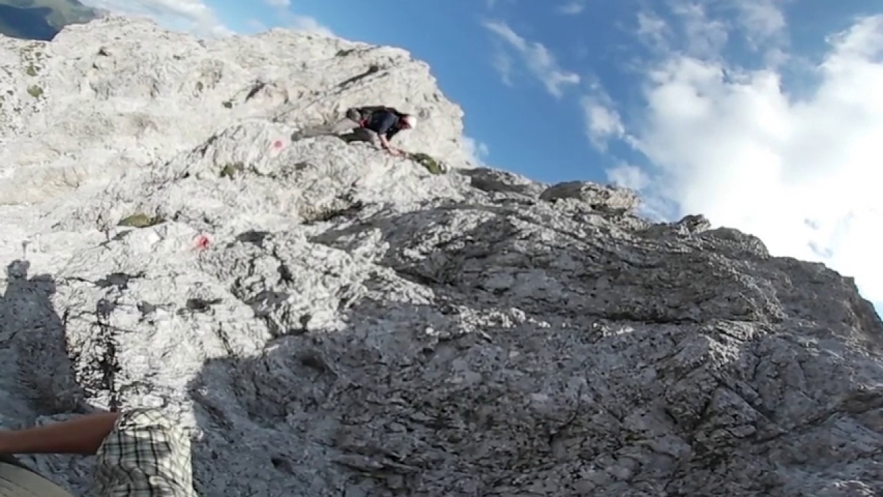
The climb
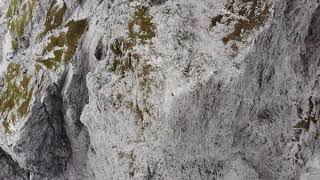
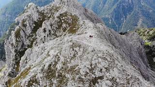
Whether we decide to take the CAI-130 path, or the CAI-143, we will find ourselves at a certain point at the entrance to the Valle delle Forcellette at an altitude of about 2100 m a.s.l.; To continue we must pass it towards the East and gradually climb it up to the altitude of 2200 m a.s.l. of the Forcella Grande. Here the CAI flag signs stop leaving room for the red stamps that accompany us up to the rocky peak. Ascent to be undertaken carefully due to the exposure to the void that some first degree climbing passages present.


- 1
- 2
- 3
- 4
- 5