Mount San Daniele Offroad (CAI-169-SUD-CSTM)
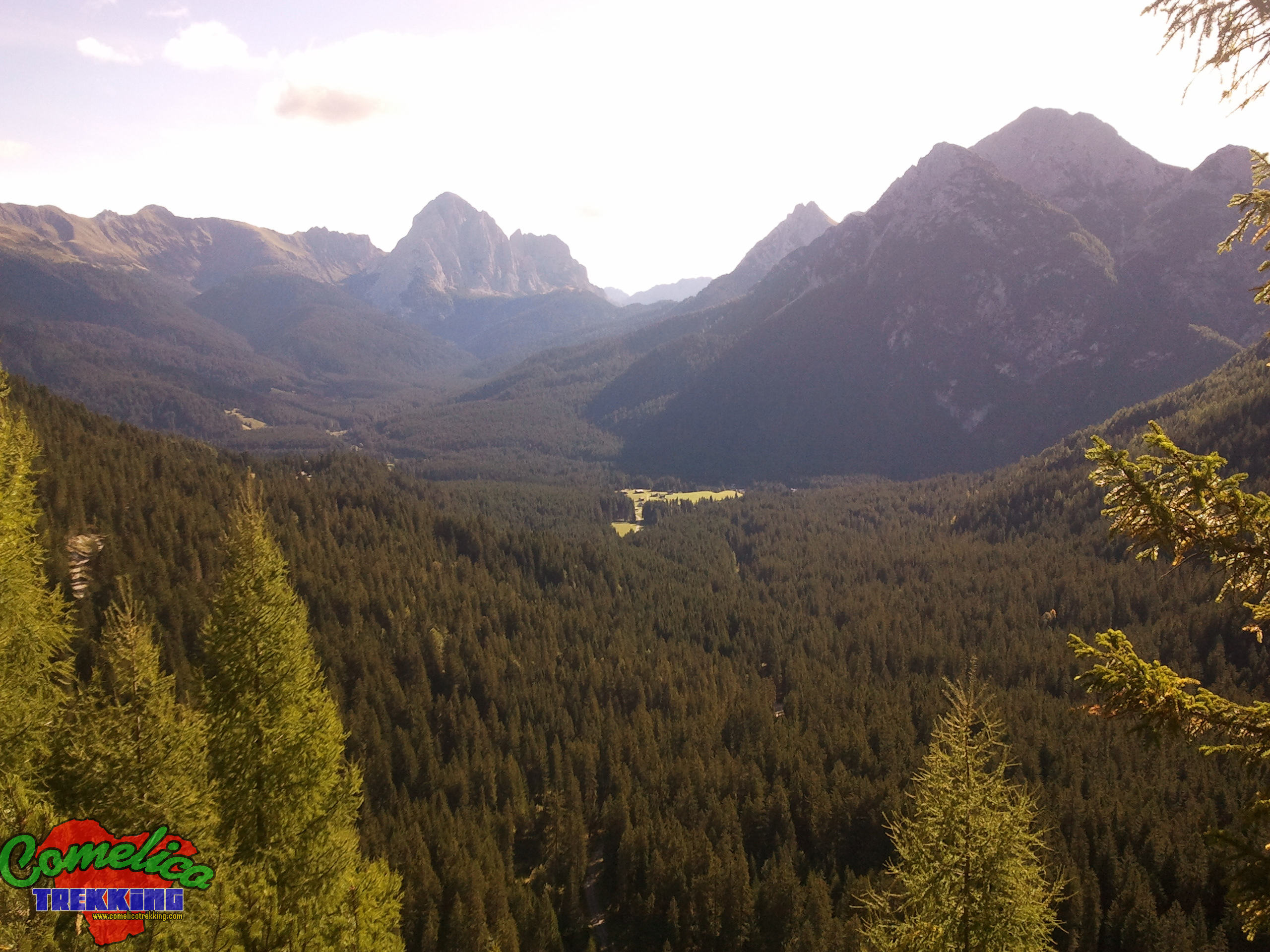
.169 We start from F.la Zovo where we arrived by car and, having properly parked it to allow parking for other cars, we start taking the path with the CAI-169 sign. Initially we proceed through the woods with a flat course. Leave the woods behind us and cross the scree slopes of M. San Daniele on a newly built mule track. Continue slightly uphill to the north until you reach the end of M.S.Daniele, from where you have a wonderful panoramic view of the Val Visdende, with the Rinaldo-Ferro Group nearby on the right and in the distance the M.Peralba. Now the climb becomes more concrete, always on the side of M. San Daniele, you rise for 150m in the entrance of Val Vissada by steep natural channel between M. Schiaron and M. San Daniele on coarse gravel ground; from here you can also admire a characteristic waterfall of the Rio di Vissada called “Pisandui”. Upon reaching the gate that separates the valley, we reached around 1727 meters above sea level. and from this summit of the Val Vissada, the C.de d. Longerin. The road now climbs on the right side of the valley, along the base of M. Schiaron, and after having walked about 200m uphill, at the entrance of Val Vissada we leave the main path turning left.
.cstm The alternative route for the climb to San Daniele begins by crossing the Rio di Vissada and past the first mountain pines
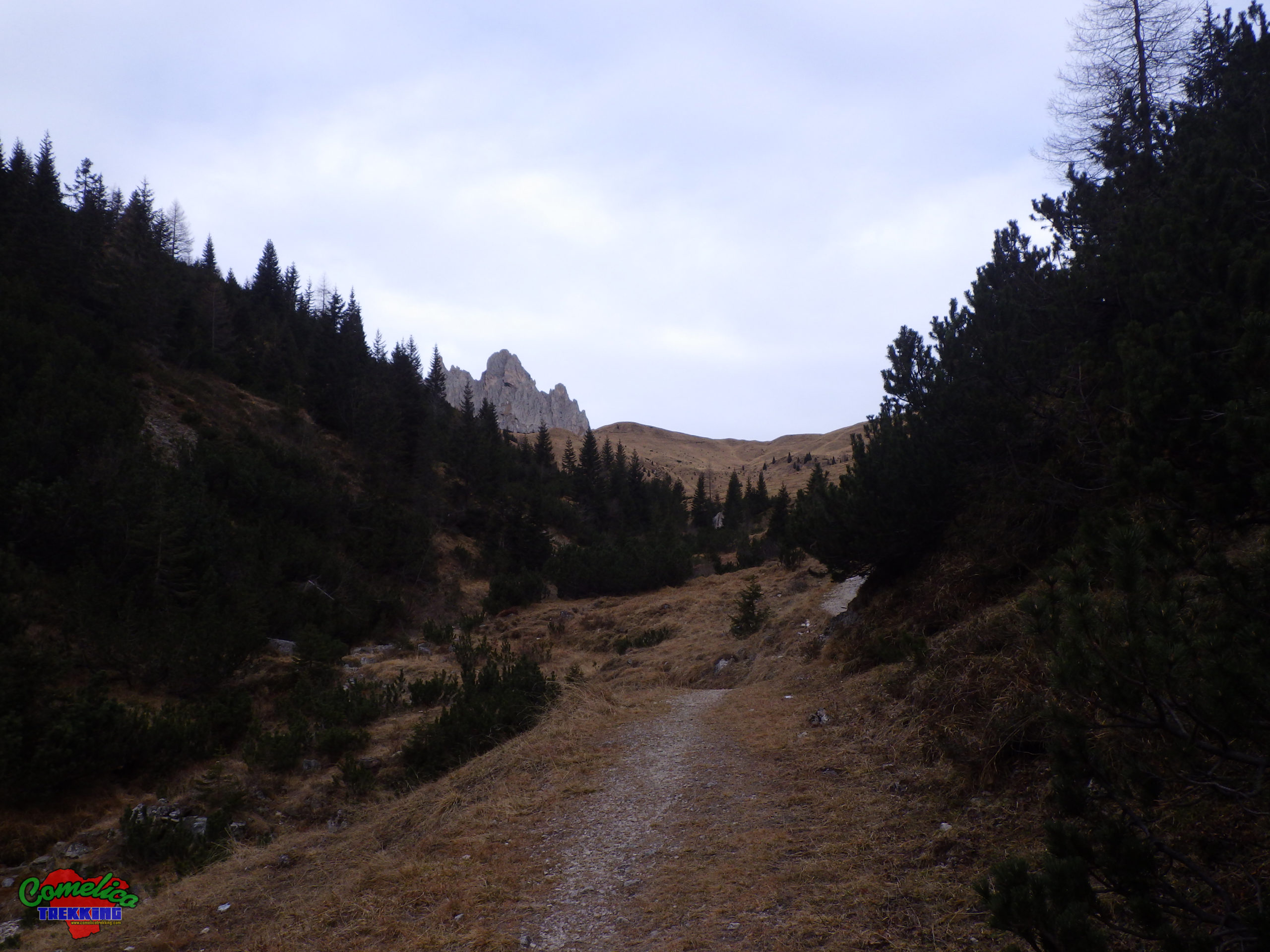
at the edge of the path we go up taking the widest gully on our left. From here the slope starts to be felt, after the first 300m the gully narrows and gets very steep here the way can be dangerous in case of rain especially downhill. The track is non-existent and, at the steepest point, there are no classic stages produced when the path is well frequented. After passing this bottleneck, we always proceed in a westerly direction until reaching the meadows at an altitude of 2000m. You still go up a hundred meters and you can always tackle the top for steep meadows by turning north.
.Considerations The alternative climb to San Daniele leads to an altitude of 2229 msl. della Cima; starting from F.la Zovo there is an elevation of 623m and you can walk 4.5km in about 3 hours. The difficulty of the excursion is EE as there is a steep grassy stretch without valid holds along the climb which can be slippery in case of rain. The descent can also be undertaken on the southern slope of the mountain, in this case you must follow the CAI-165 sign until you cross the mule track that leads to the top of M.Zovo and then turning left continue to F.la Zovo.
.the Military Route Just before going up to the ‘Pisandui’ waterfall accompanied by a sign indicating we have a military route dating back to the great war. The mini ring route can be easily tackled starting from the CAI-169 path at an altitude of 1600 MSL before proceeding up the slope to the ‘Pisandui’ waterfall. Or, on the opposite side along the road that leads to M.Zovo with CAI 154 signpost, turning right about 200m after the F.la Zovo refuge. The route includes a visit to what remains of a mortar pad and winds along military walkways.
.the Wonderful View At the crossroads of the CAI-169 path, go up a few meters and then horizontally proceed south until you reach a fence and a bench. We arrived at the viewpoint and from here you have a wonderful view over the Visdende valley.
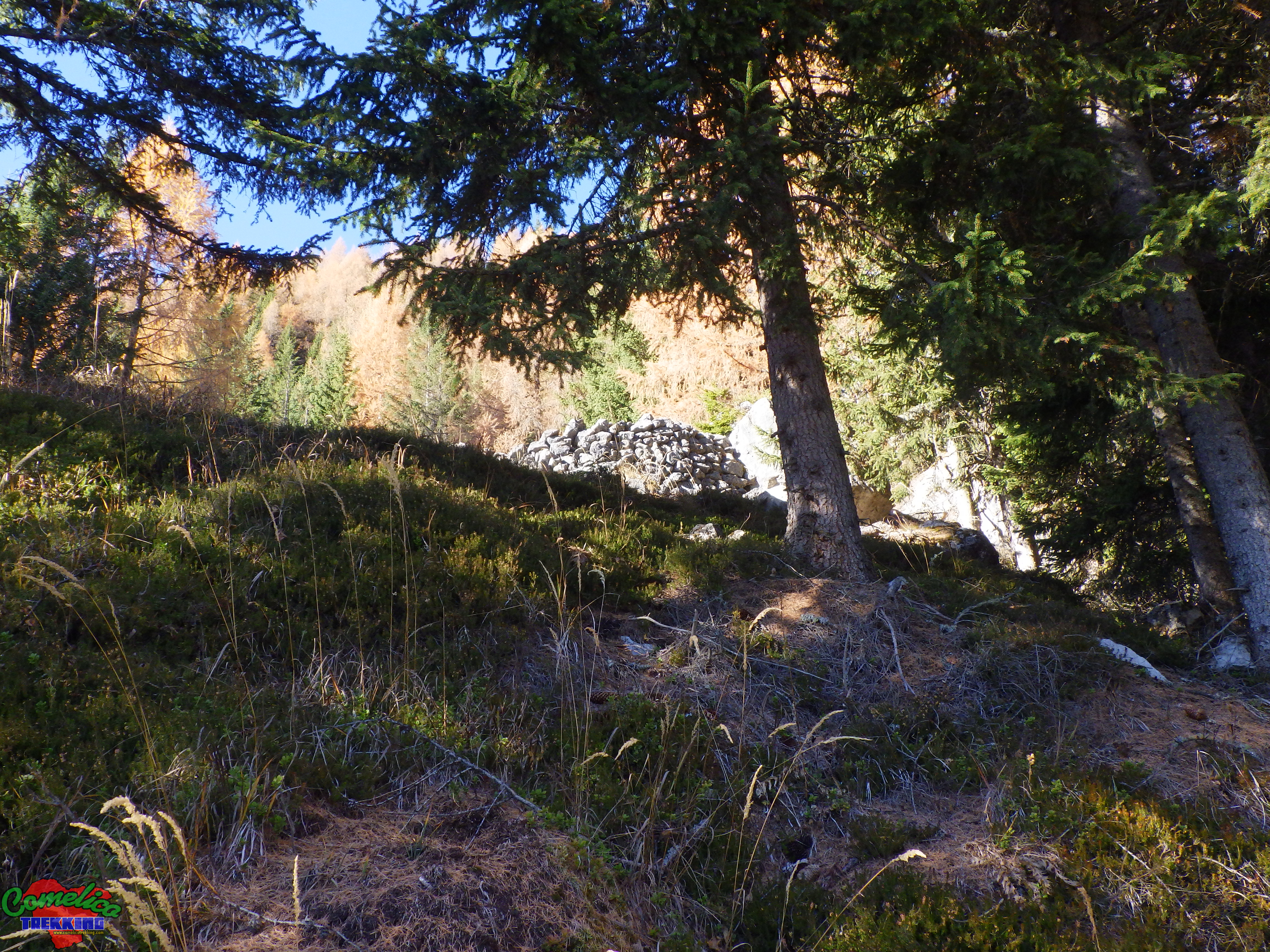
.the Bombard Returning a few steps back, the path still climbs very steeply until it leads to the ruins of a building in a very sunny clearing. We are in the bombardment area where during the First World War the soldiers had installed bombing positions with mortars. The path continues reaching a tunnel that comes out on the other side of the mountain with a wonderful view from the top of the wood; From here you continue almost horizontally over rocks and gravels until you get back into the woods. The route is equipped with metal ropes for the less experienced. The path continues into the woods until it comes out in the vicinity of the F.la Zovo refuge along the road that leads to Mount Zovo.

.water The track guarantees a good supply of water, especially the first part of the climb in Val Vissada and up to F.la Longerin. The second part, on the other hand, does not present any source of water which must therefore be taken first.

.bike The climb to Val Vissada can also be undertaken by bicycle, although it is a stony and steep route, as the cycles can pass because the road is generally wide. However, only up to F. Longerin, because the ascent to the summit cannot be undertaken by bicycle.

.dog The whole excursion can be accompanied by a dog or more, as long as the animal is used to the altitude and knows how to behave on high mountain paths in the presence of rolling stones. Alternatively, you must proceed with a leash. Generally there are no passages that can put four-legged animals in difficulty.

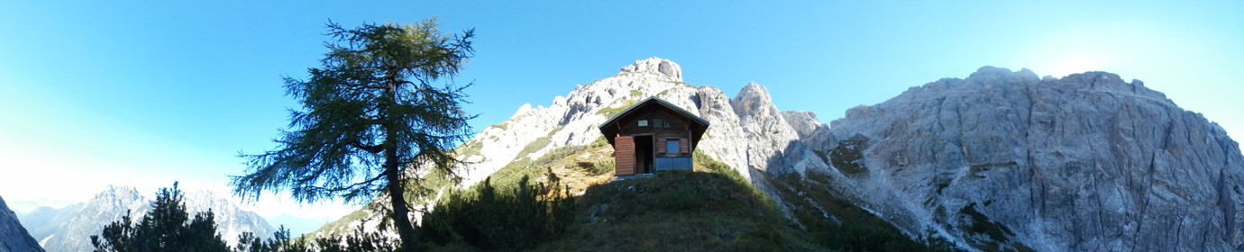
.shelters The presence of the new Val Vissada bivouac and the cave at Longerin guarantees a good shelter in case of bad weather, but also the possibility of being able to spend the night in the area in order to comfortably climb all the peaks of the valley.