Google Maps – On Mount Cavallino from Rigoietto

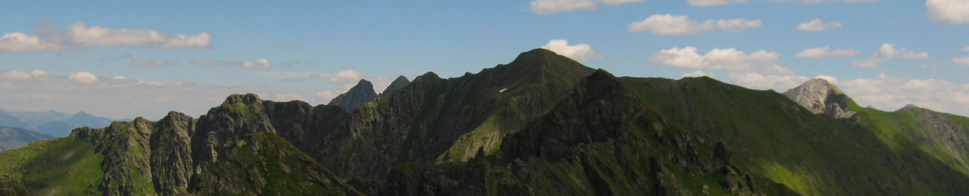
This Sunday great ride on Mount Cavallino. Alternative departure from Malga Silvella. We go up along the hairpin bends that lead to Silvella Pass until we cross the CAI-146 path which heads east leading to the Cavallino Fork. Reached the Malga Rigoietto we cross the coast of the same name and then climb the opposite ridge. Once we reach the ridge, we walk it northwards, approaching Mount Cavallino. Along this stretch that winds along the old trenches of the First World War there is a panoramic view of the Granda Valley. Reached the mountain we walk along the short aided path to the top of the mountain. The return we follow it on the same path after having however descended from the west side of Mount Cavallino along a steep via ferrata that takes us to the Cavallatto Fork.